

Three Days of Hiking in Los Angeles
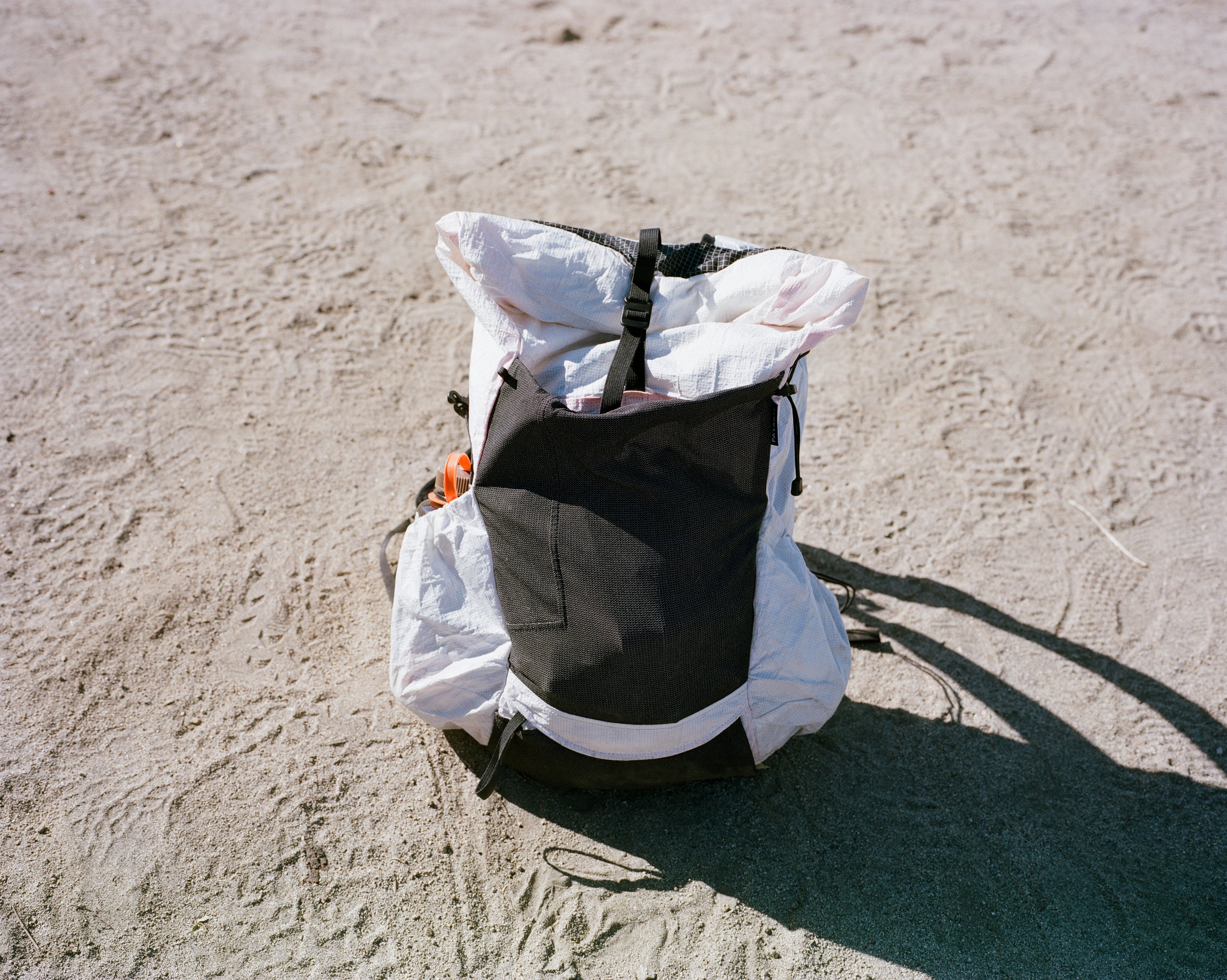
This weekend I packed my bag each morning with food, water, cameras and film to hit three peaks above the city of 9 million.
This weekend I packed my bag each morning with food, water, cameras and film to hit three peaks above the city of 9 million.


Los Angeles is a city most don't expect to have any mountains. We mostly think of it as the city all the movies are made (err, were made). The city where everyone is trying to become something they aren't. The city everyone loves to hate.
But Los Angeles is my home. It’s where I grew up and it’s where I live now. It certainly has its dark spots, but I love this city - and its mountains. The Verdugos, the Santa Monica Mountains, the San Gabriels. These are some of the mountains that make LA a real mountain city. Not like that one in Kansas, I mean Colorado.
Nearly half of LA County is made up of these mountains. And LA County isn't small either, but this was by design to maximize the city's water rights for the water it stole from its LA Aqueduct - a topic for another time though. But read Cadillac Desert if you are interested.
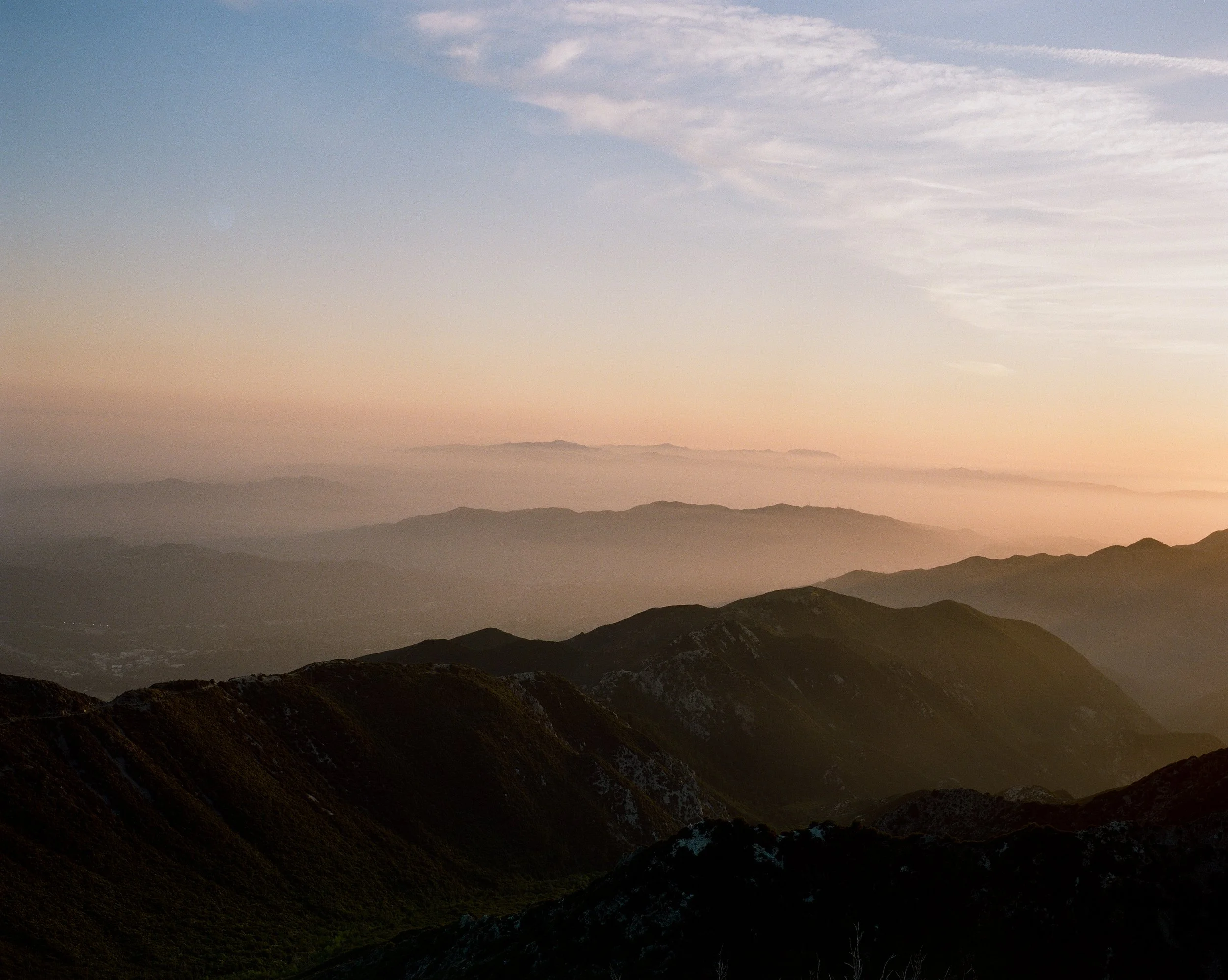
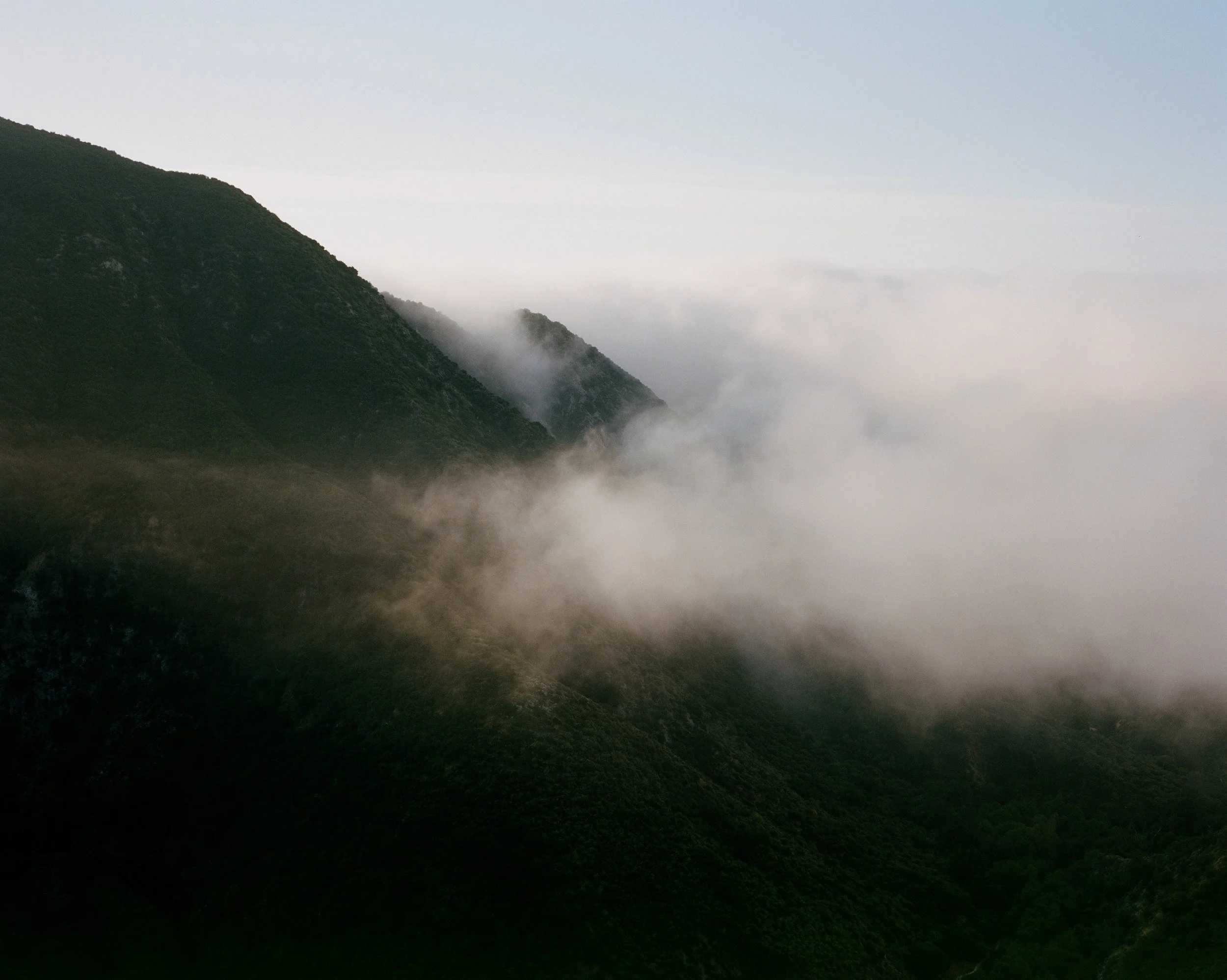
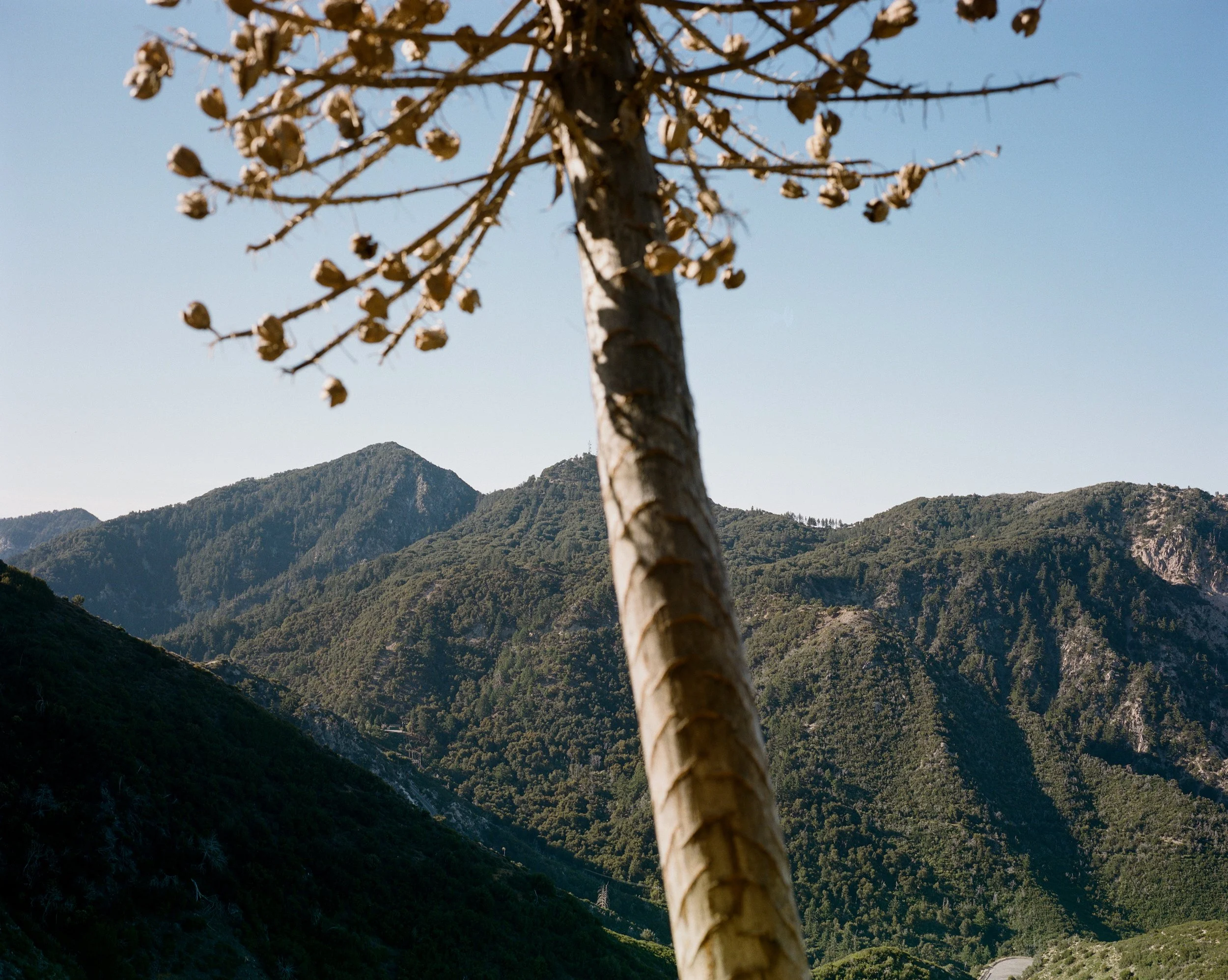
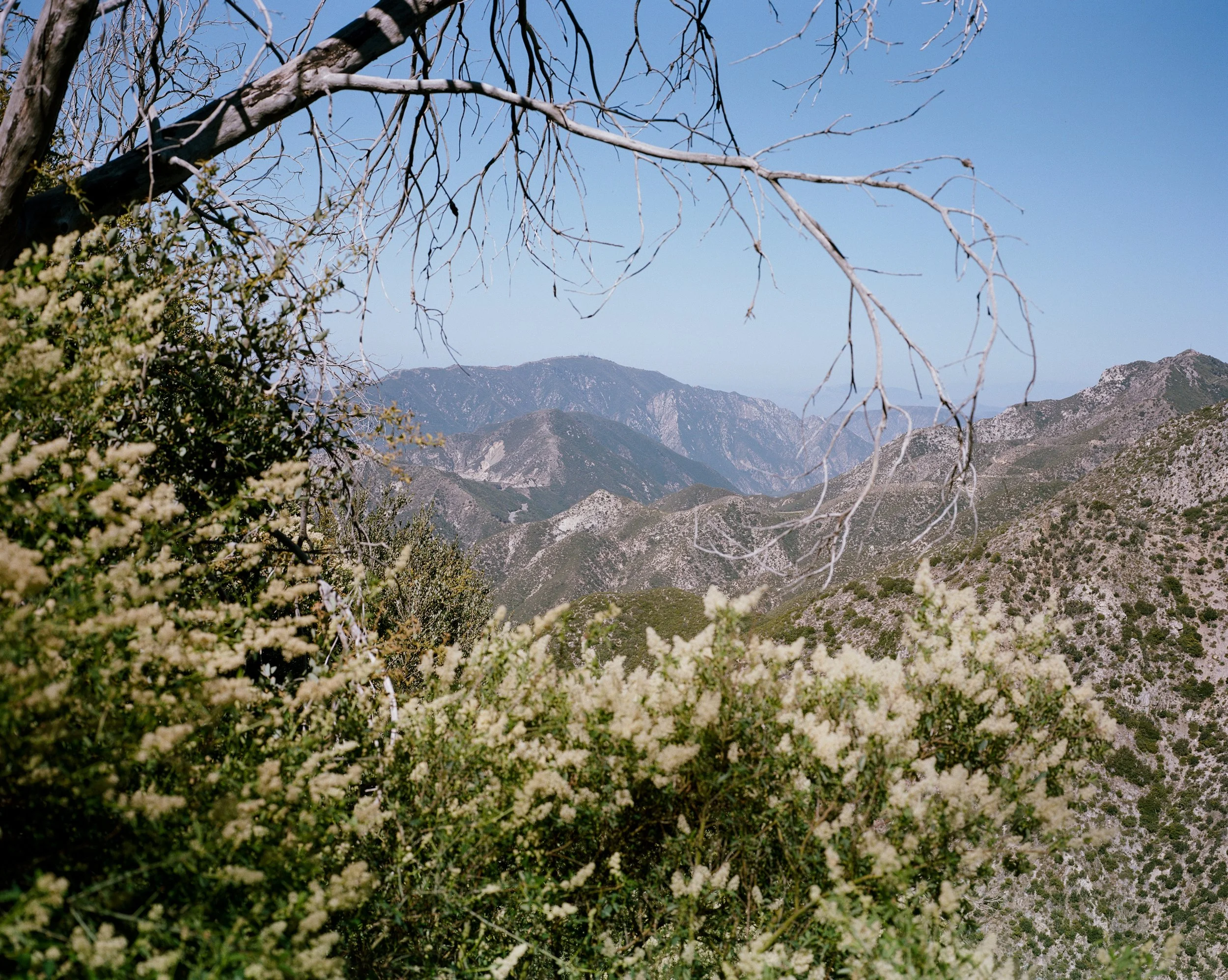
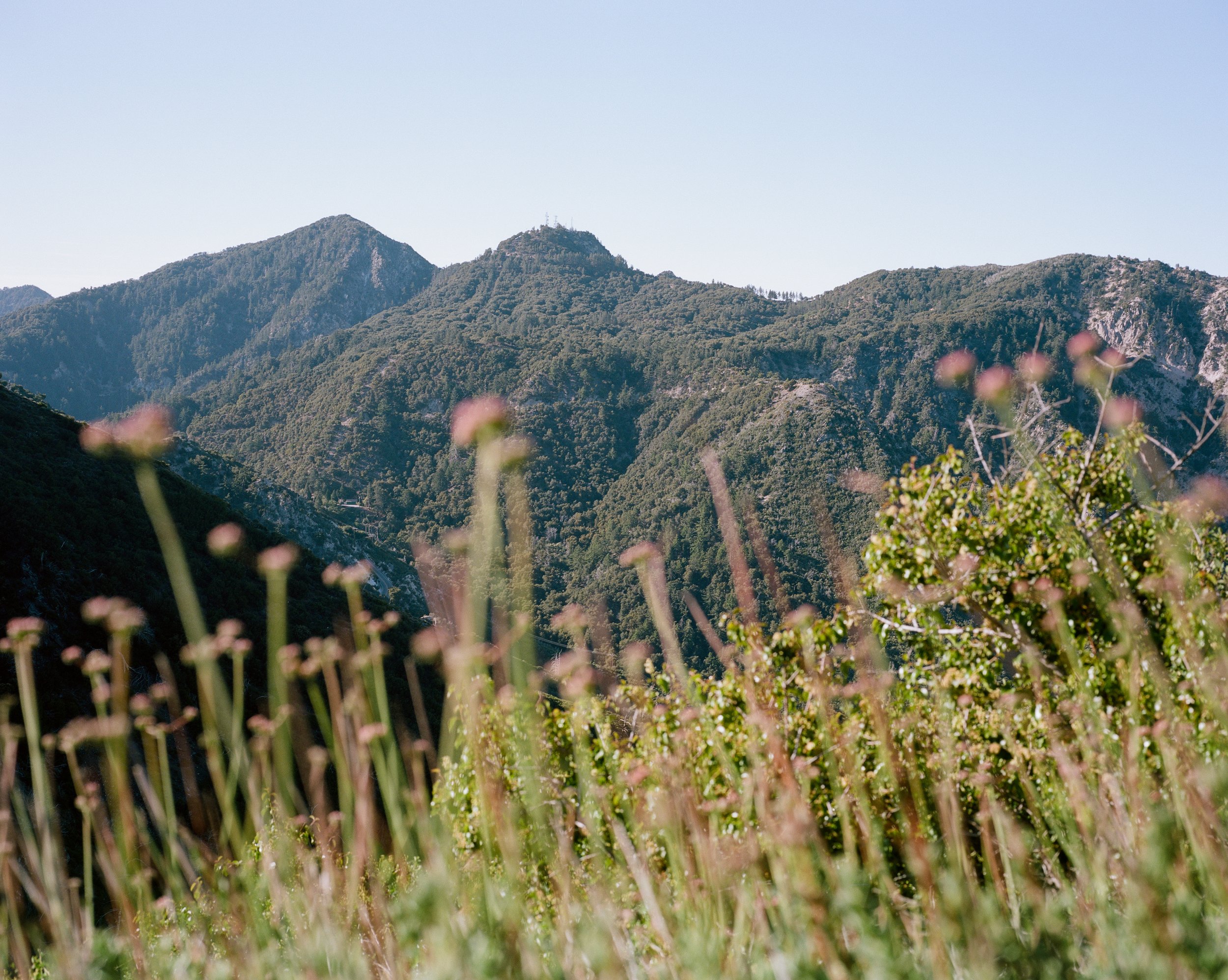
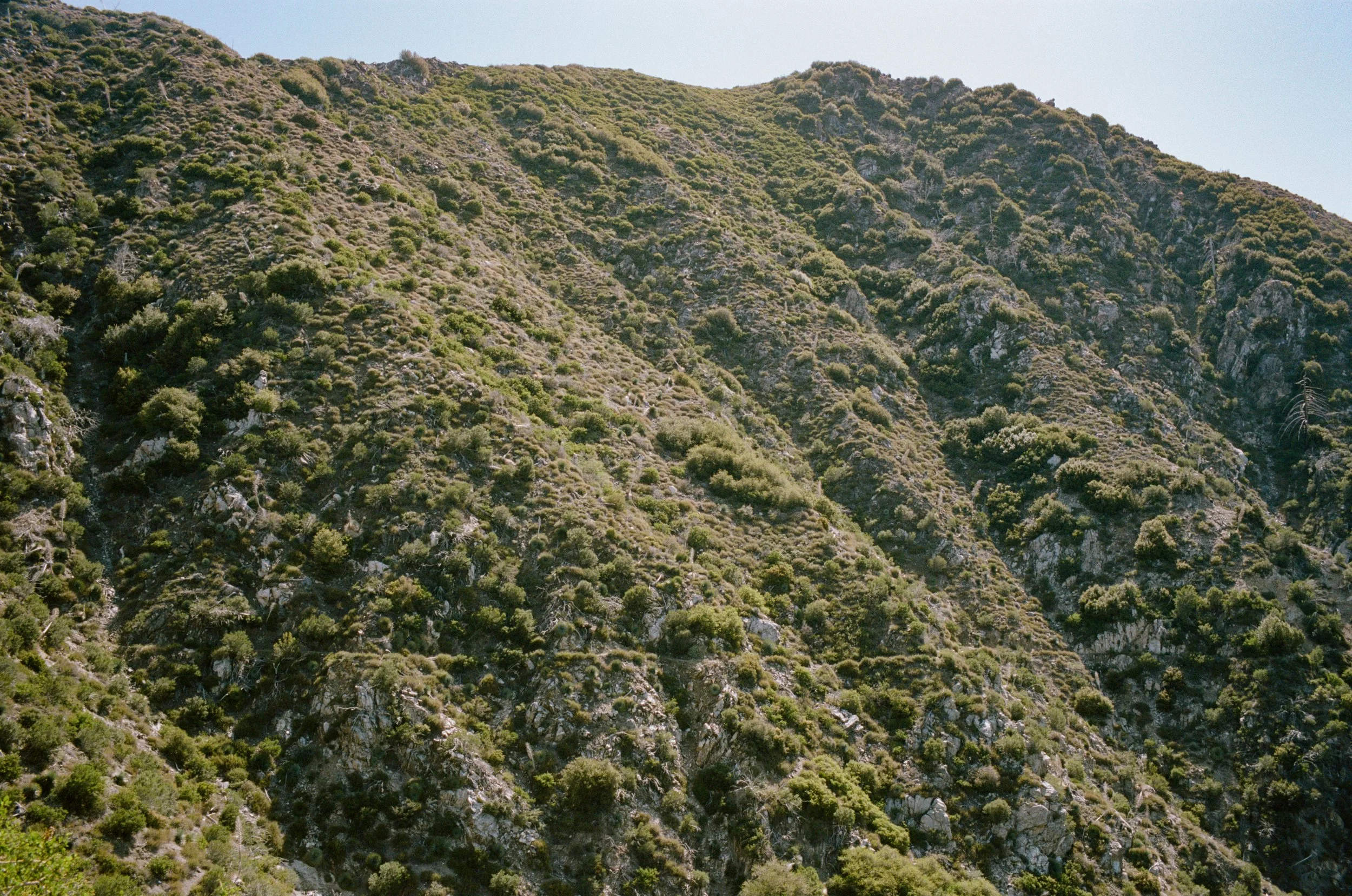
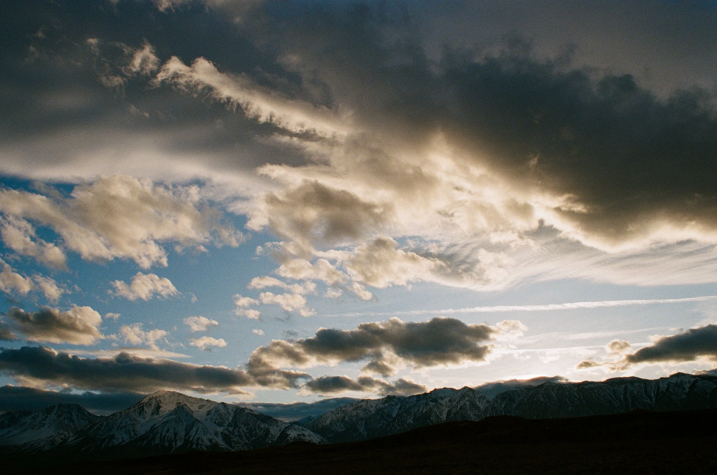
These Transverse Ranges rise out of the city high above anything else. They form the basin that Los Angeles nestled itself into. Marine layer and smog get trapped in the basin, but up here above everything is a whole new world. So, I spent three days last weekend making the drive up the Angeles Crest Highway and into the Angeles National Forest to escape the city for some higher elevation sights.
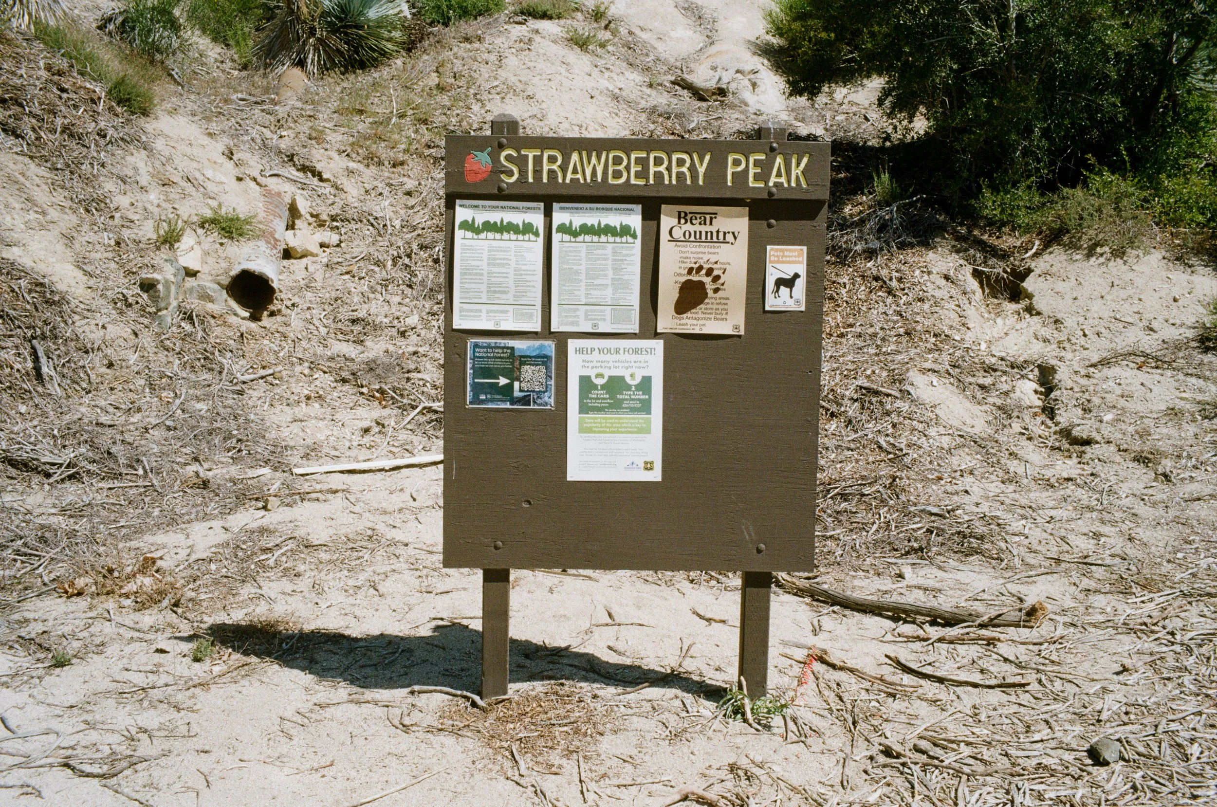
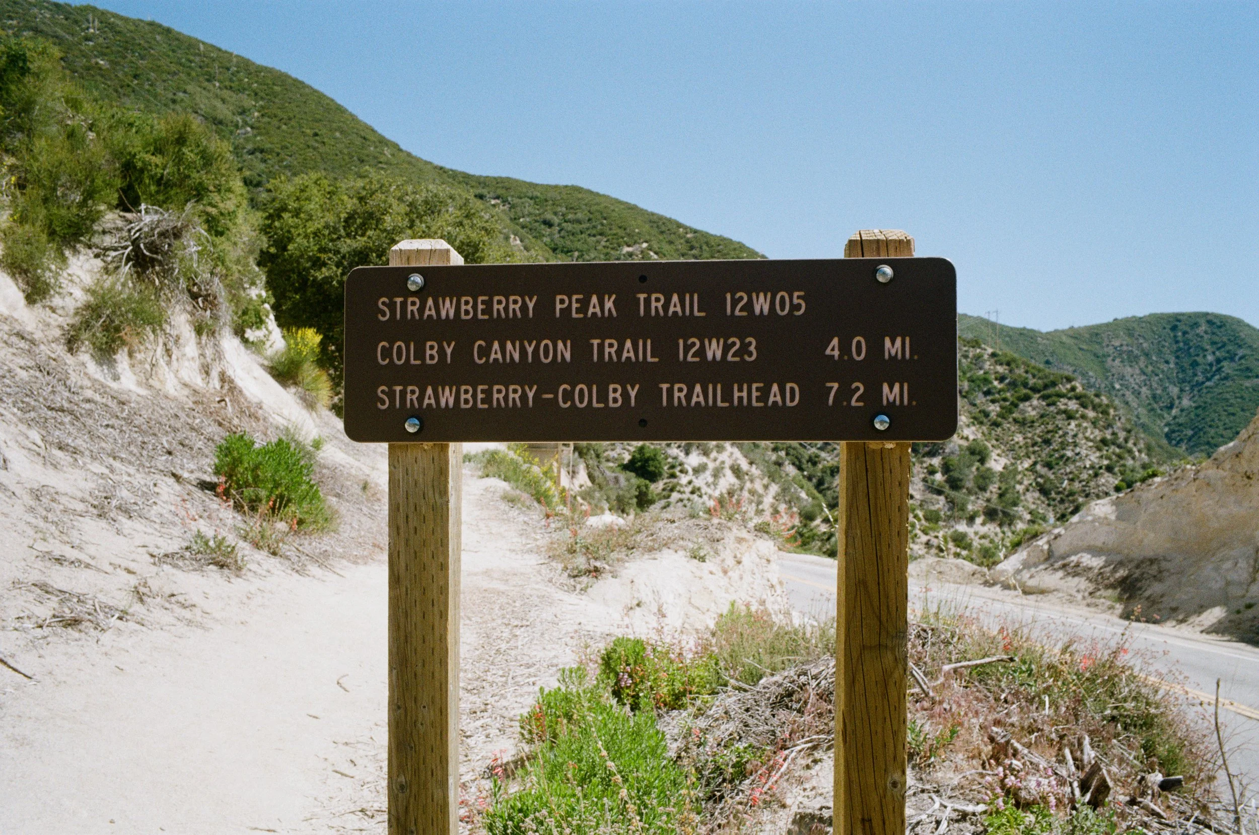
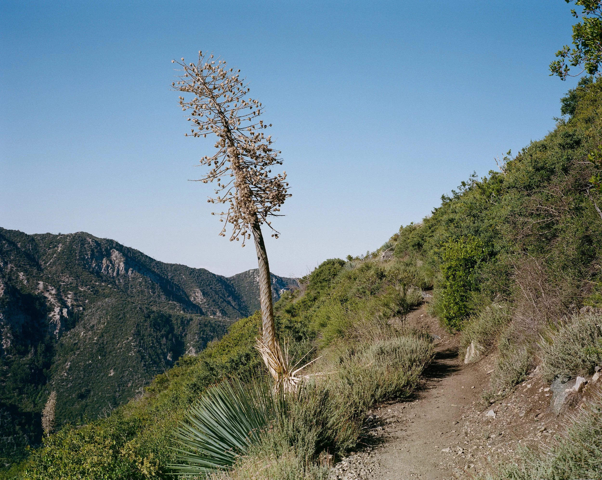
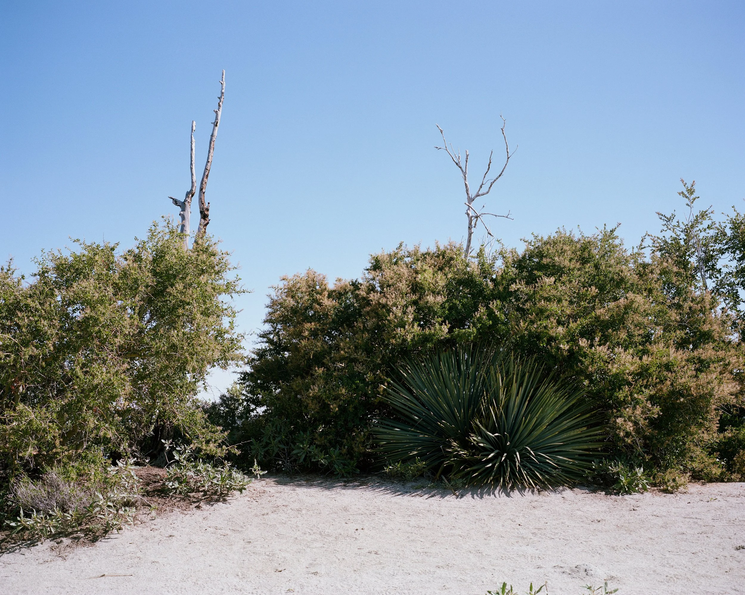
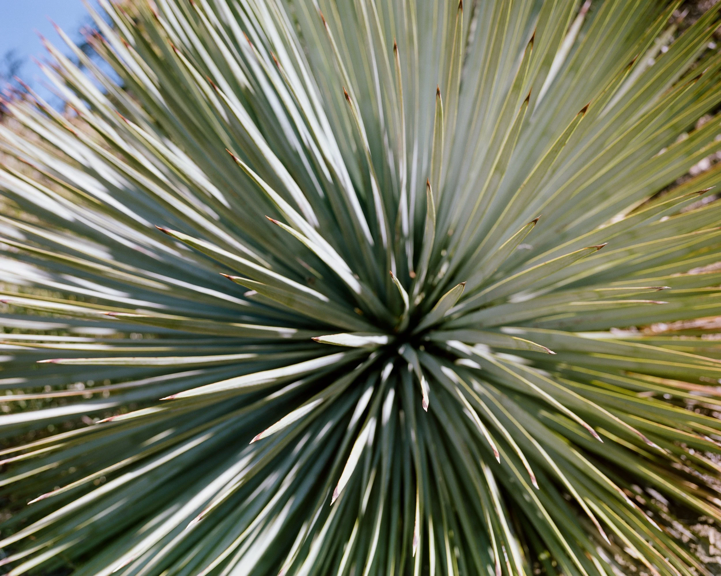
Strawberry Peak
I packed up my bag just after sunrise, loading in the necessary supplies like water, food, cameras and film, then I made my way up Angeles Crest Highway to the trailhead at Red Box. During the week there are very few people up here in these mountains, and this morning I am one of the few in the parking lot. People might be trying to rush through traffic to get to the office on freeways 4000 feet below me but up here you are in a completely different world. Ravens soar overhead, and all I can hear is their caw and my footsteps through the dry, rocky terrain.
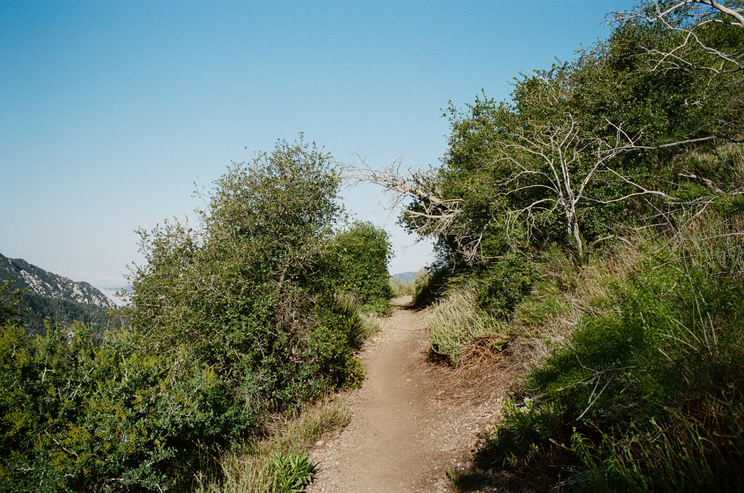
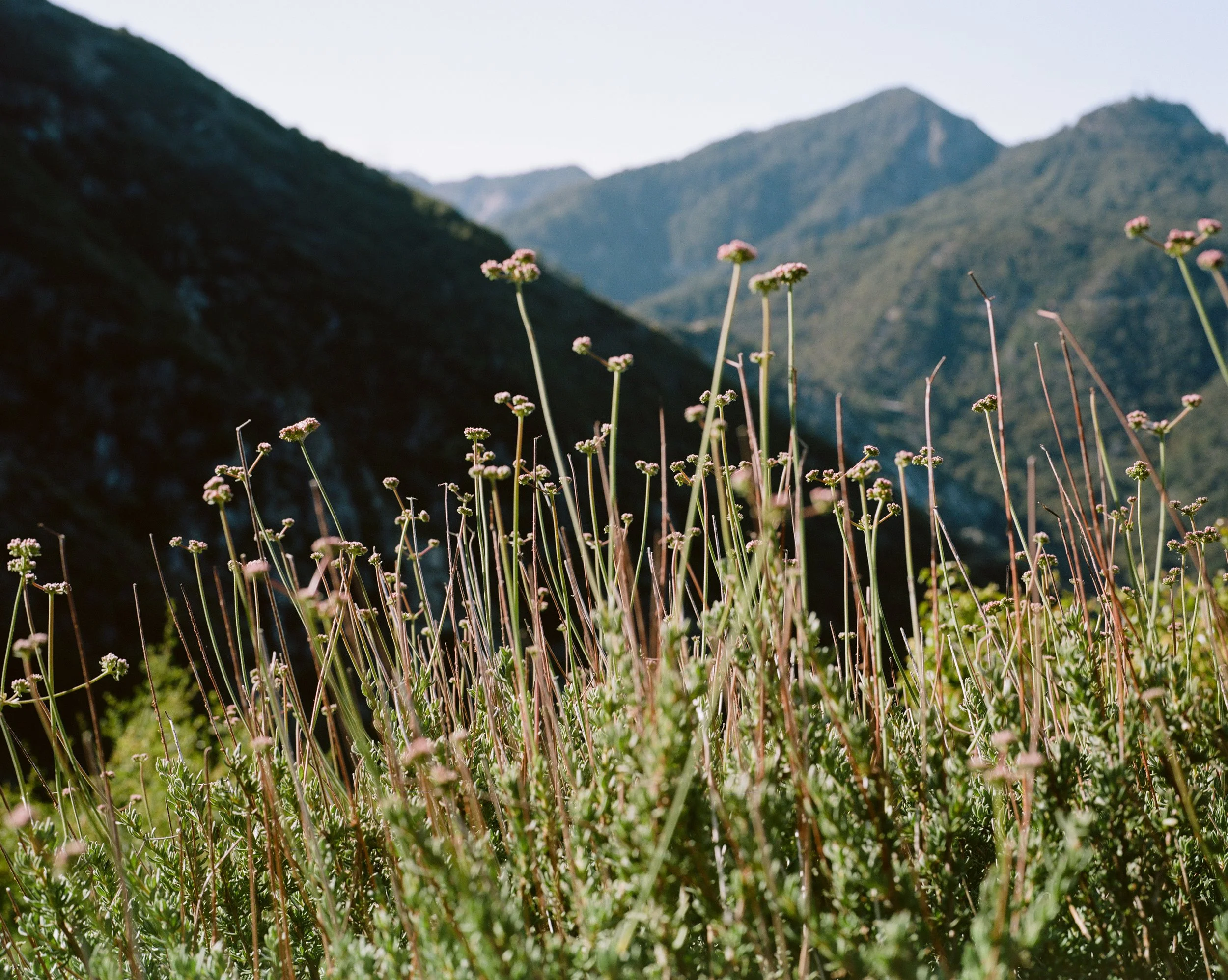
This hike runs along a hillside and is incredibly pleasant for the first few miles. You are met with grand views to the west the entire time as the mountainside falls off to your left, just a few inches from the edge of the trail.
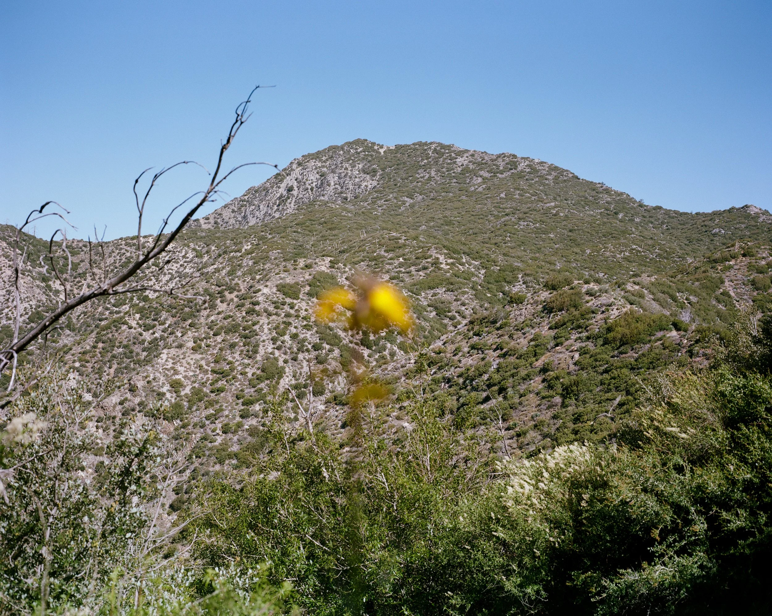
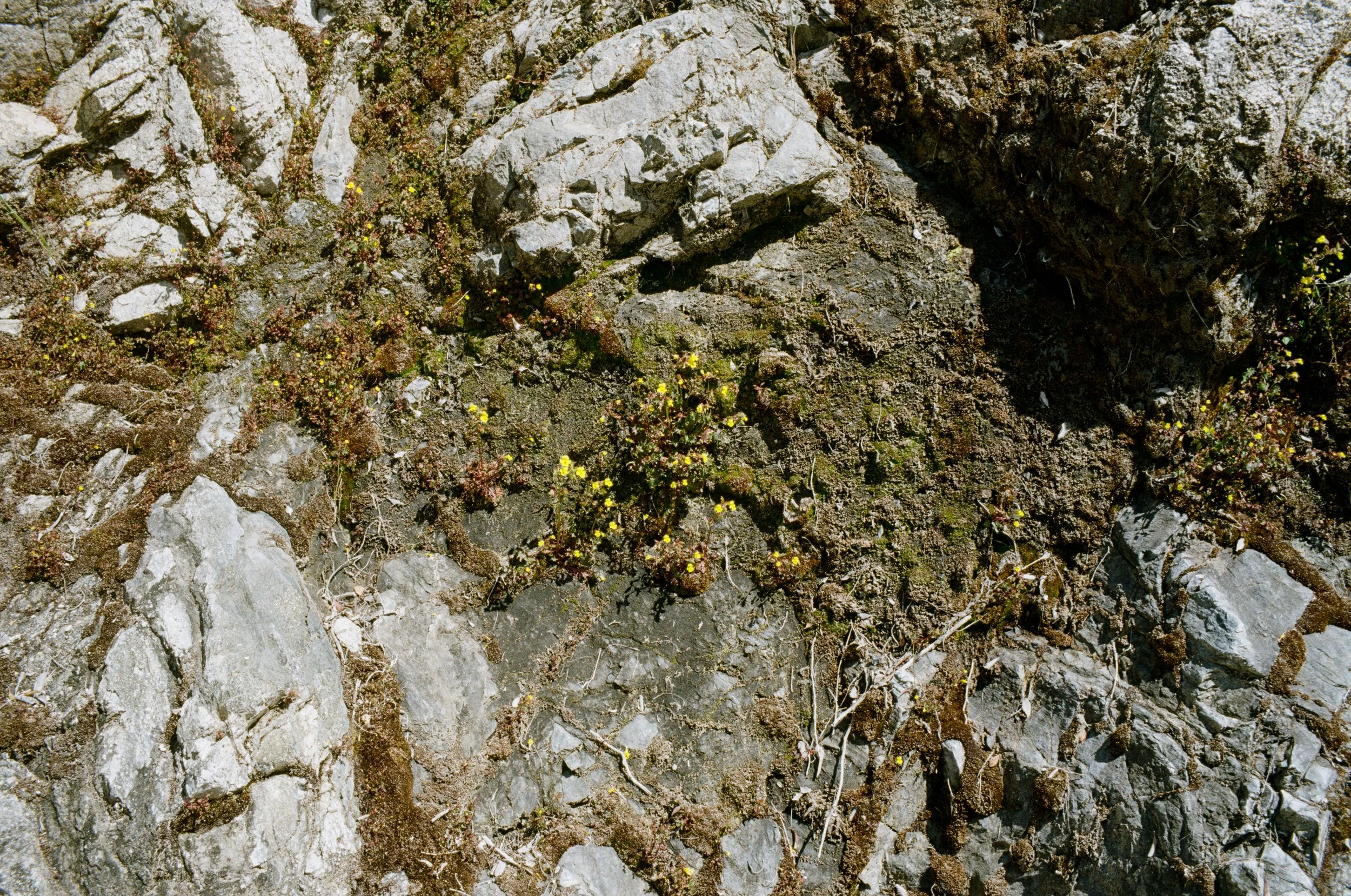
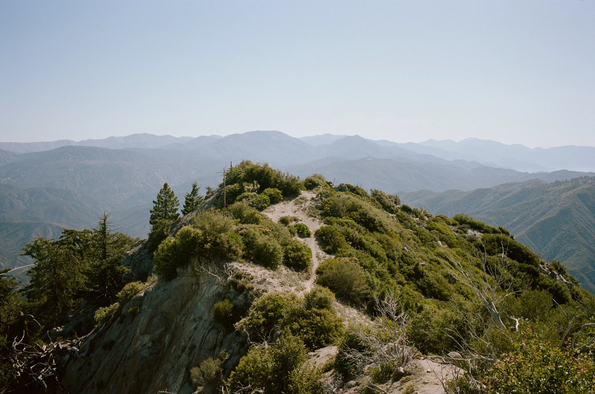
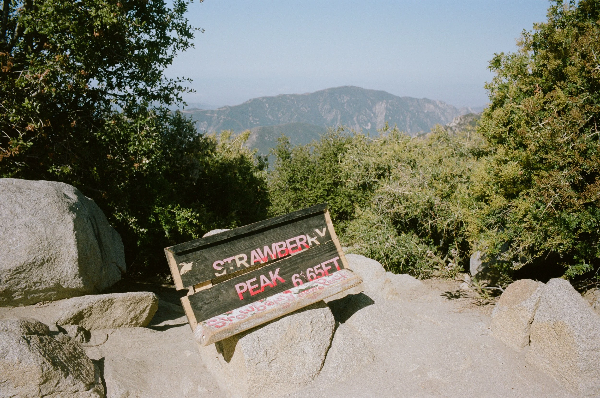
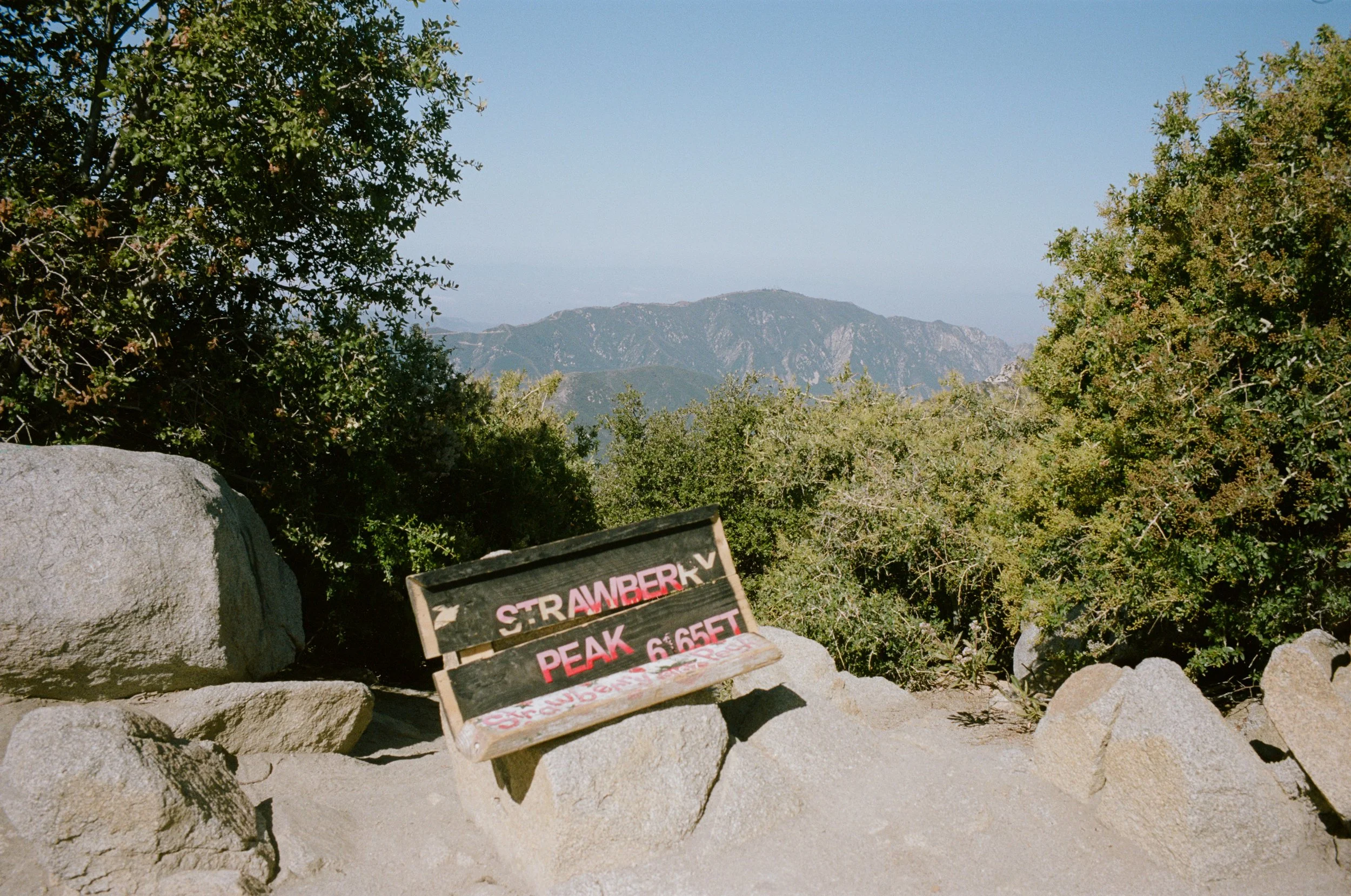
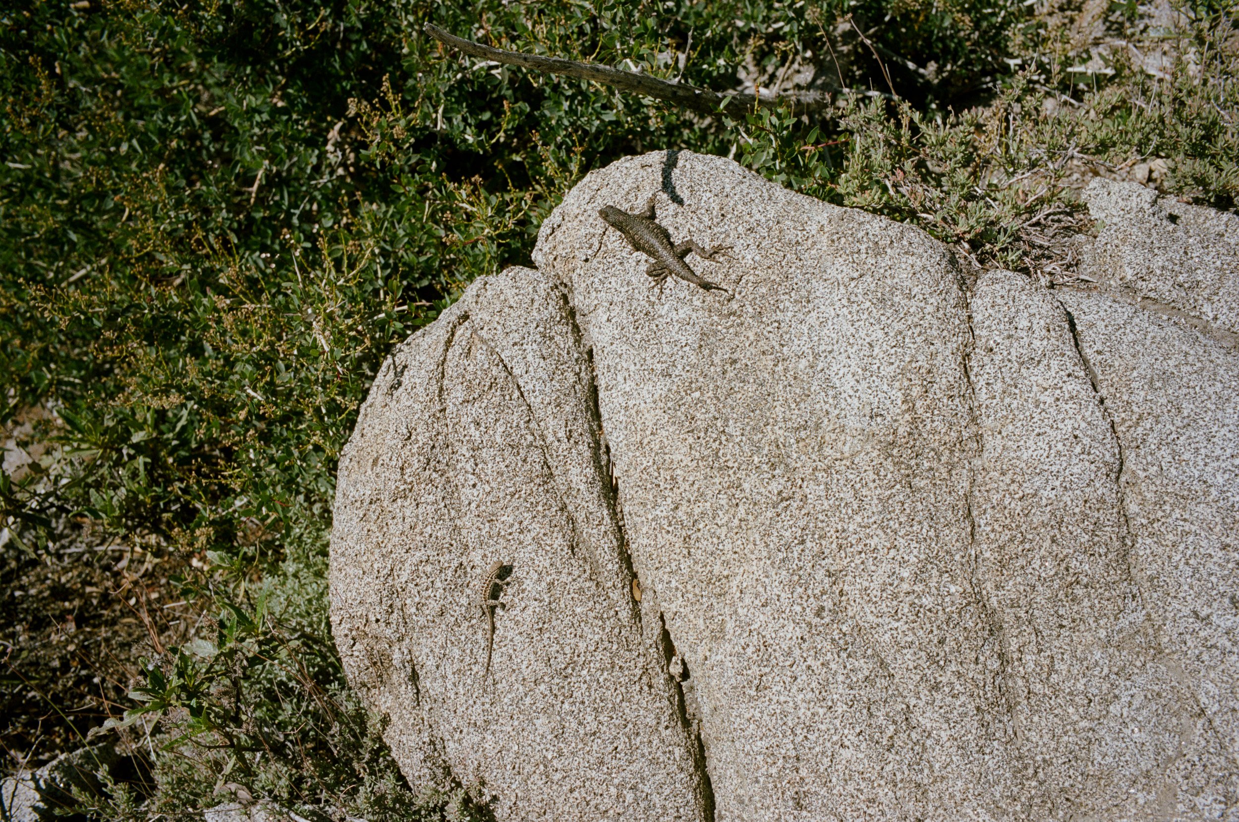
Upon reaching the Lawlor Saddle perched between Mount Lawlor and Strawberry Peak you begin the real climbing. It’s not too long and it’s not too tough but it is a fun scramble at times that will leave you with some of the San Gabriel's best views. 360 degrees around me at the top I can see for many, many miles. The Vedder Mountain lookout tower to the east, Downtown LA down to the south. But up here I am surrounded by no one but the reptiles and birds. Surely there is more wildlife around, but on this morning these are the only signs of native life I see.
On my way up to the peak, the lizards are still moving quite slow from their night in the cold. They fill the trail as they bask in the morning sun, warming their cold-blooded body's temperature. They're nearly too slow as I come close to stepping on one as I make my way to the top. Yet, on my way back down, now an hour or so later, I come across a healthy rattlesnake that hisses and rattles at me as I hike past it. I hadn't noticed it hiding in the shrubs just a foot off the trail, but once it starts making noise it spooks me immediately. Further down the trail I come across another, yet this one much more mellow.
And just like that, I'm back at the truck. With a few burned rolls of film in my bag, and a depleted water supply I start the engine and drive back down the hill heading home.
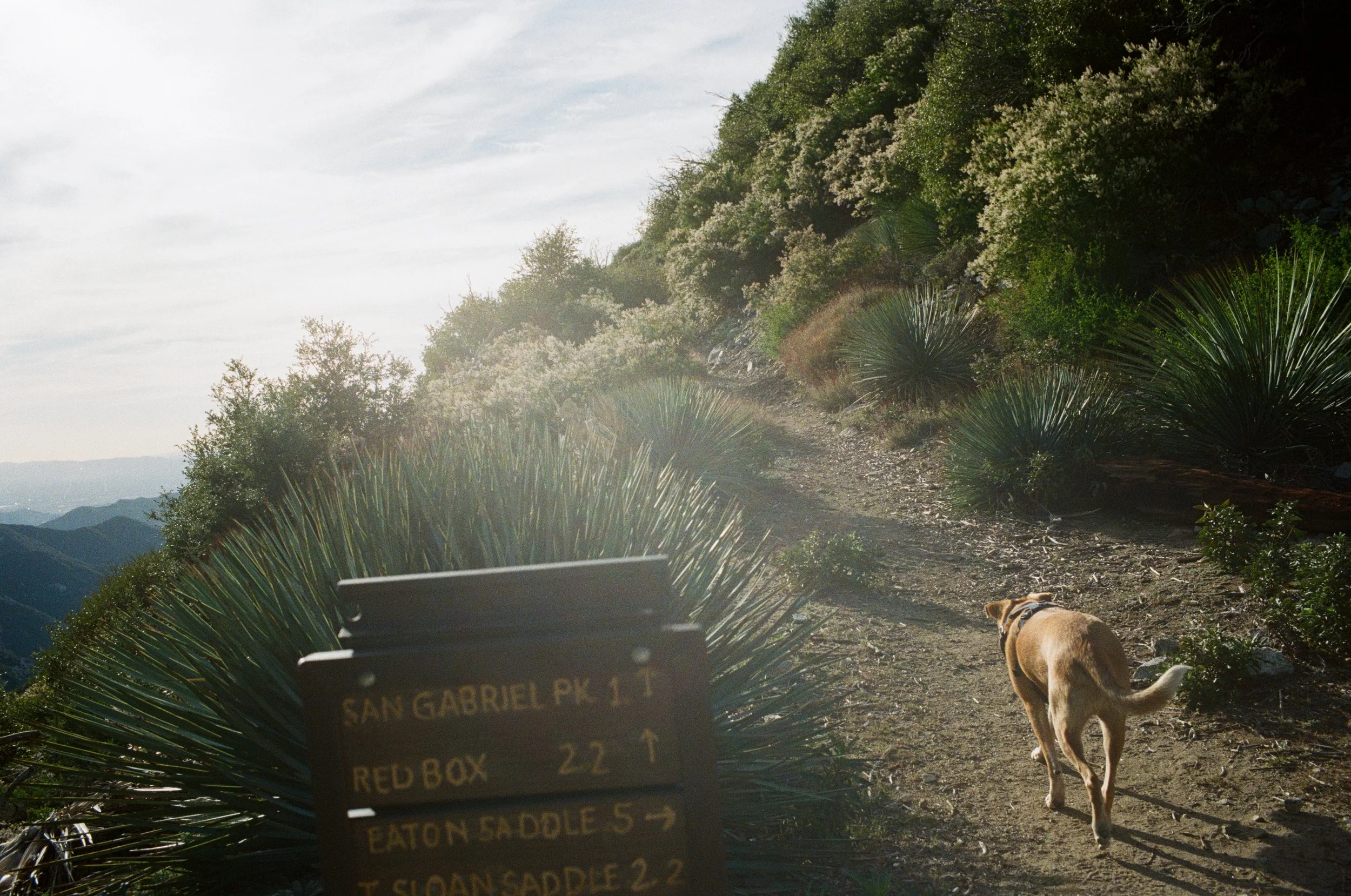
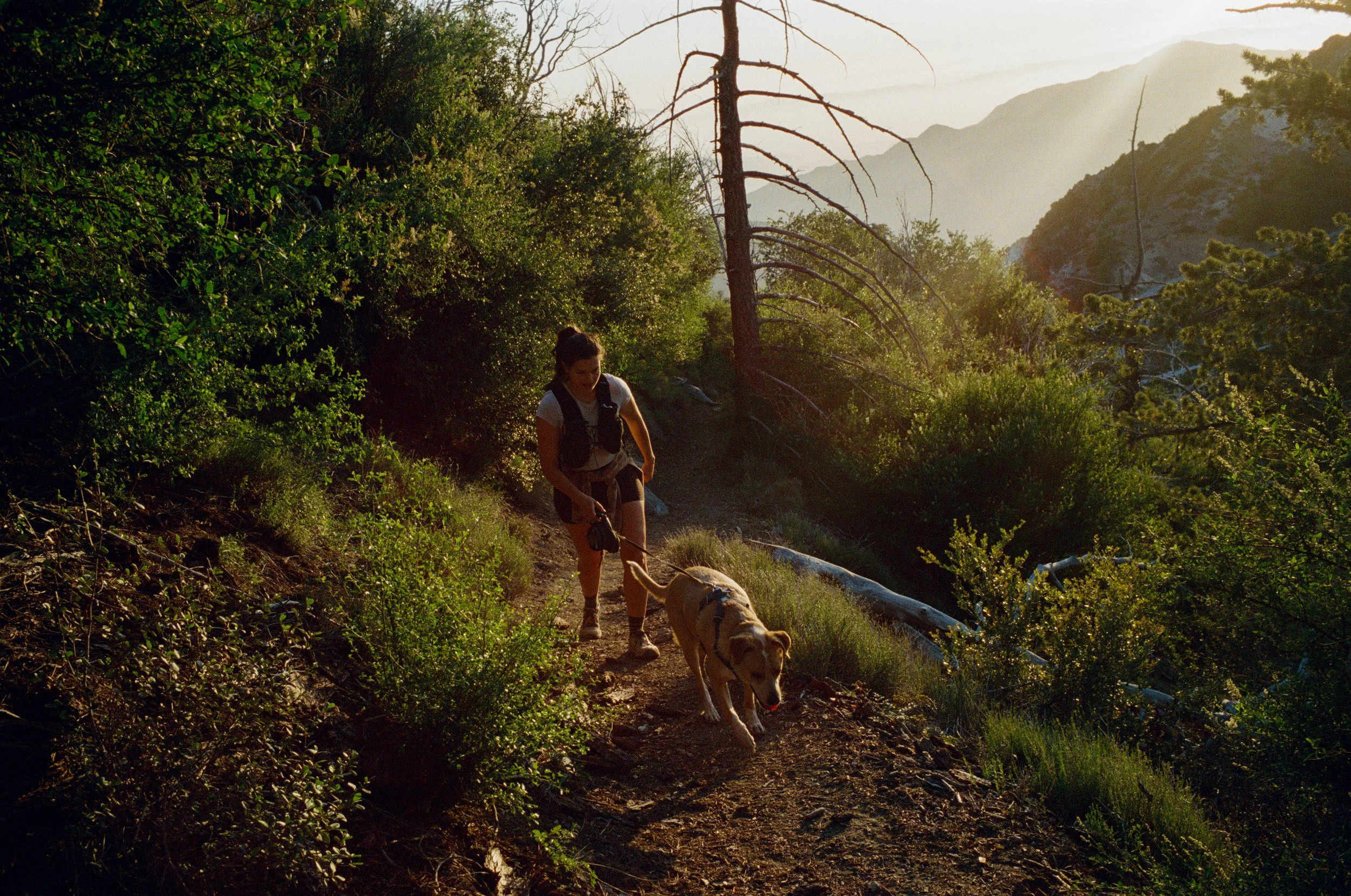
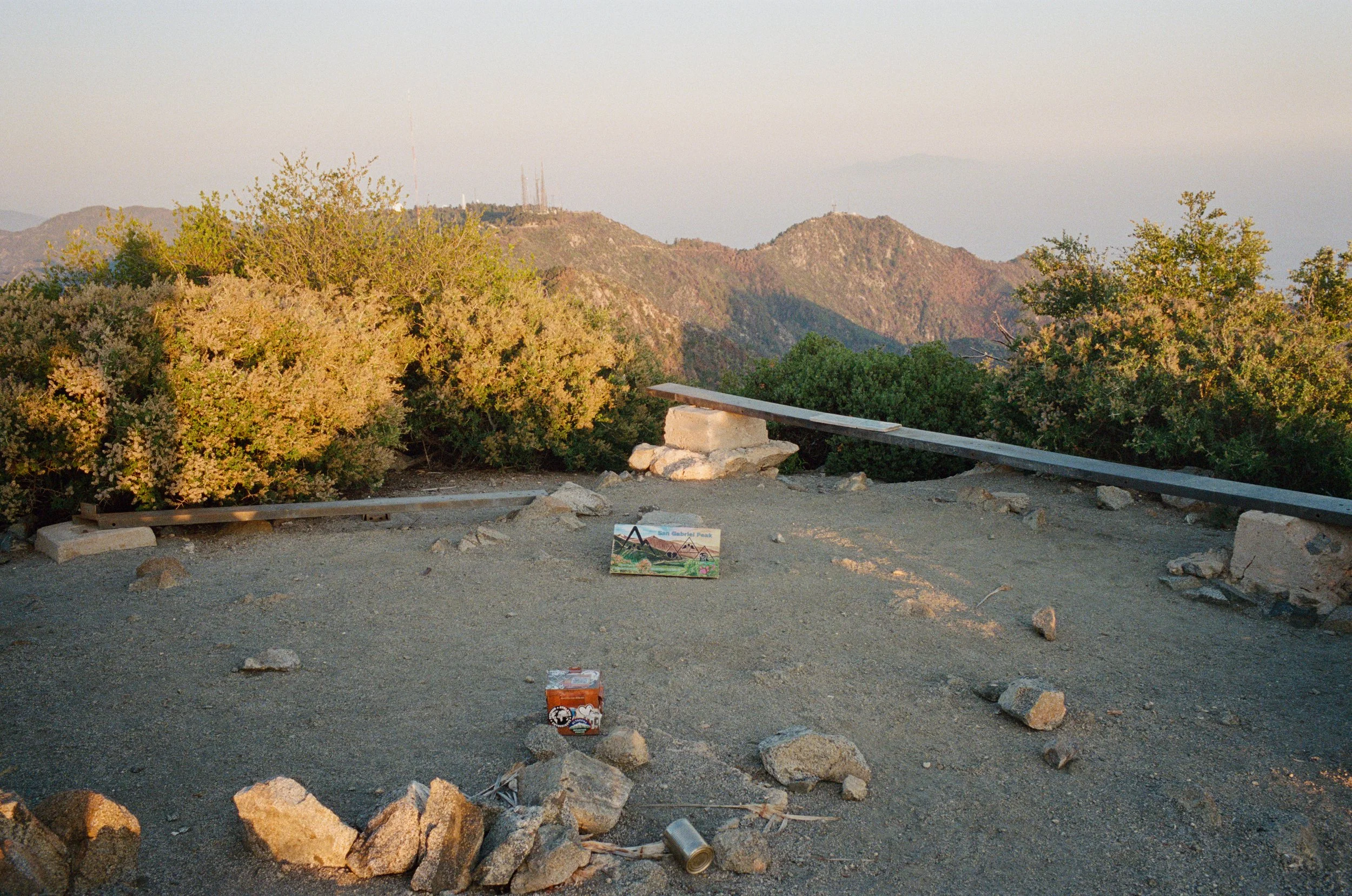
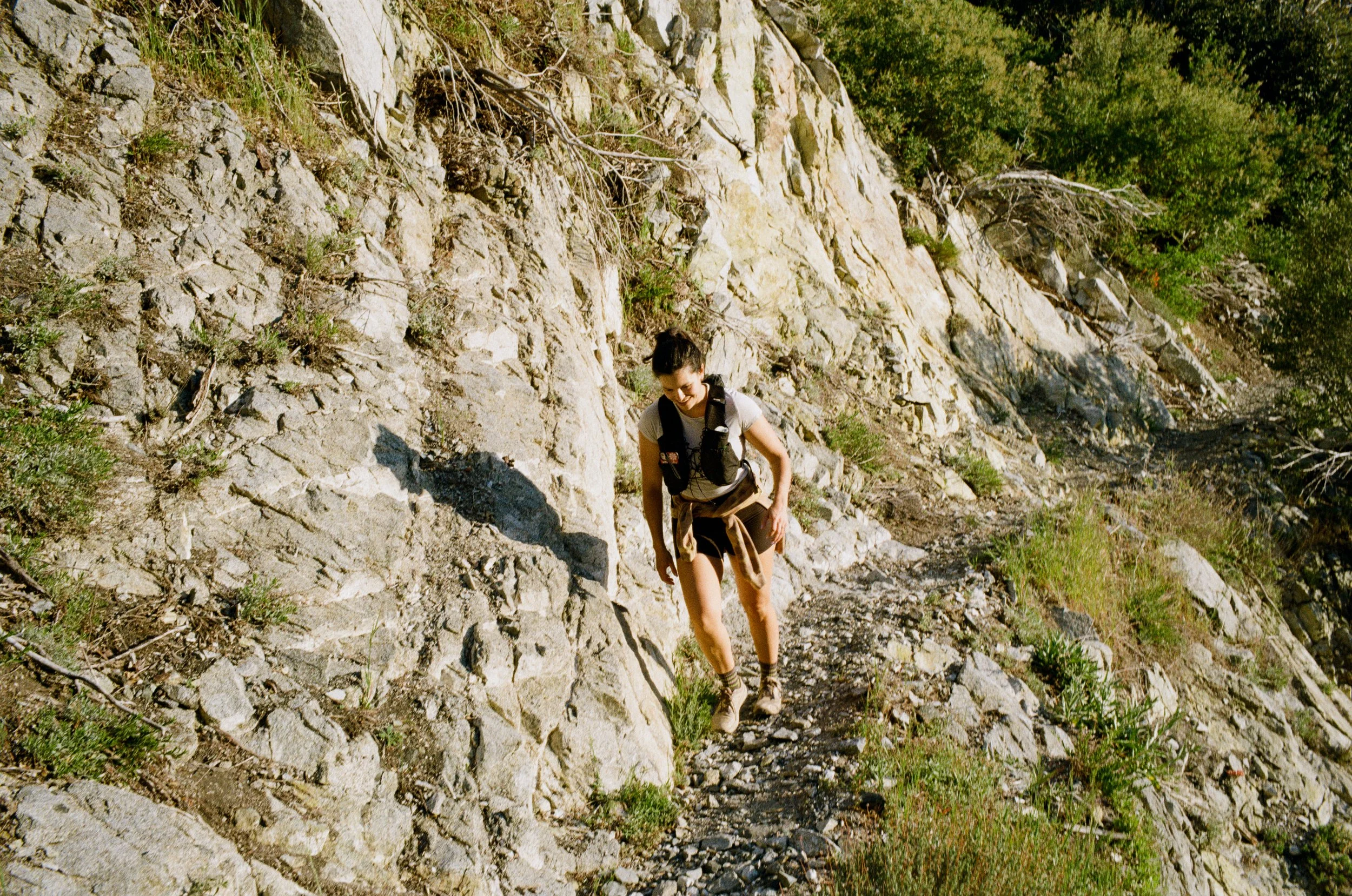
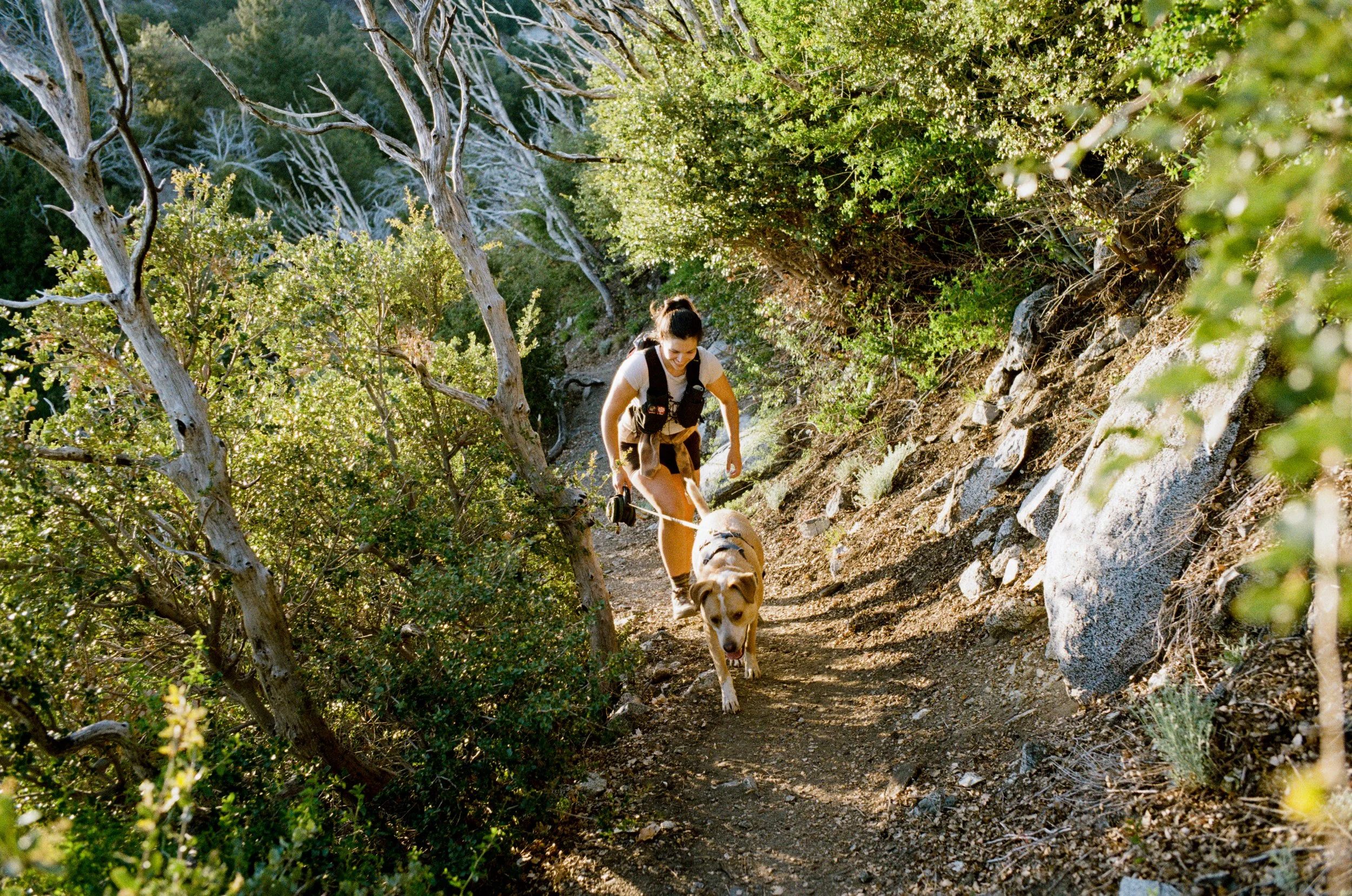
San Gabriel Peak
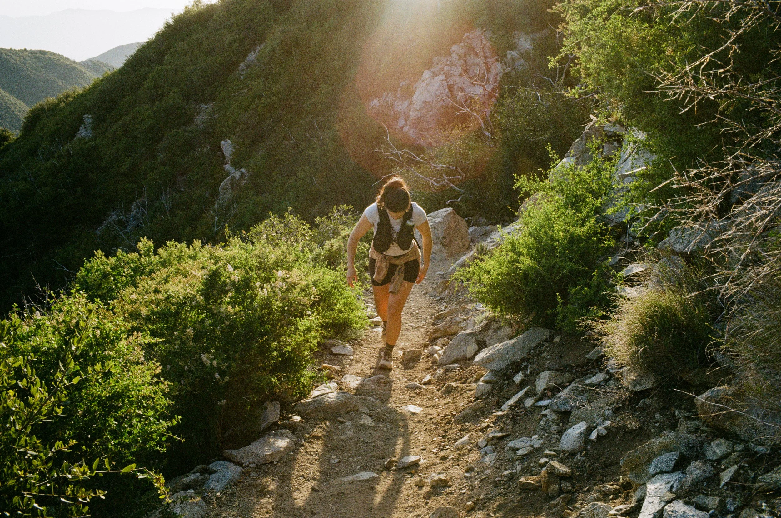
While I do get three-day weekends on many weeks, I usually end up doing some sort of work on at least one of the days. And this morning I needed to go in for just a couple of hours. So, while I knew I couldn't get a full day ride or hike in, I still wanted to get outside and into something new during the free time I had. So, Sami and I planned on hiking up San Gabriel Peak for sunset with our dog, Rider.
Again, this hike isn't too intense but you do end up with some great sunset views of Mount Wilson and the surrounding San Gabriel Mountains.
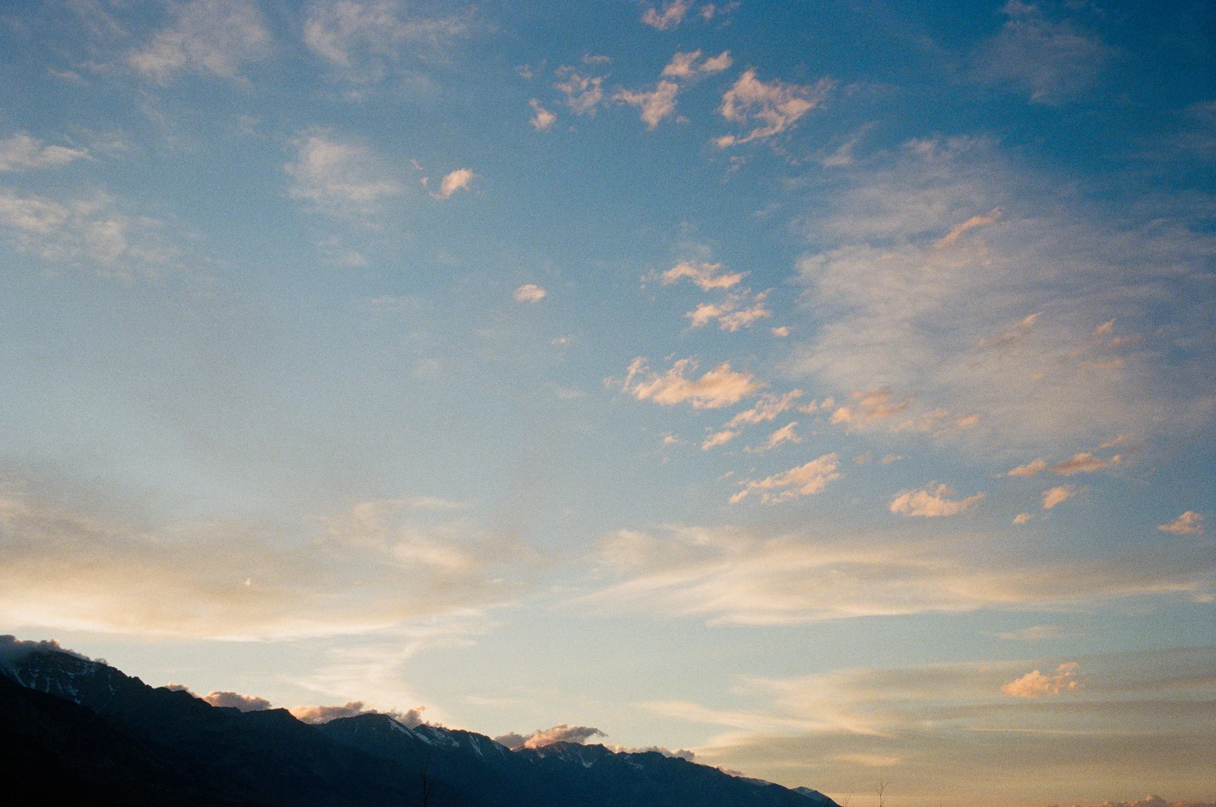
On the way up we begin losing light faster than we had thought. We got out of the house later than expected, so we move quickly as to not be hiking back in total darkness on our way out. We summit right as the sun dipped past the mountains to the west and use up the sun's last remnants of light down the switchbacks. But once we turn the corner behind the hillside, just about all the ambient light had been used up and I am forced to pull out my headlamp from my pack to make it through Muller Tunnel and back to the car.
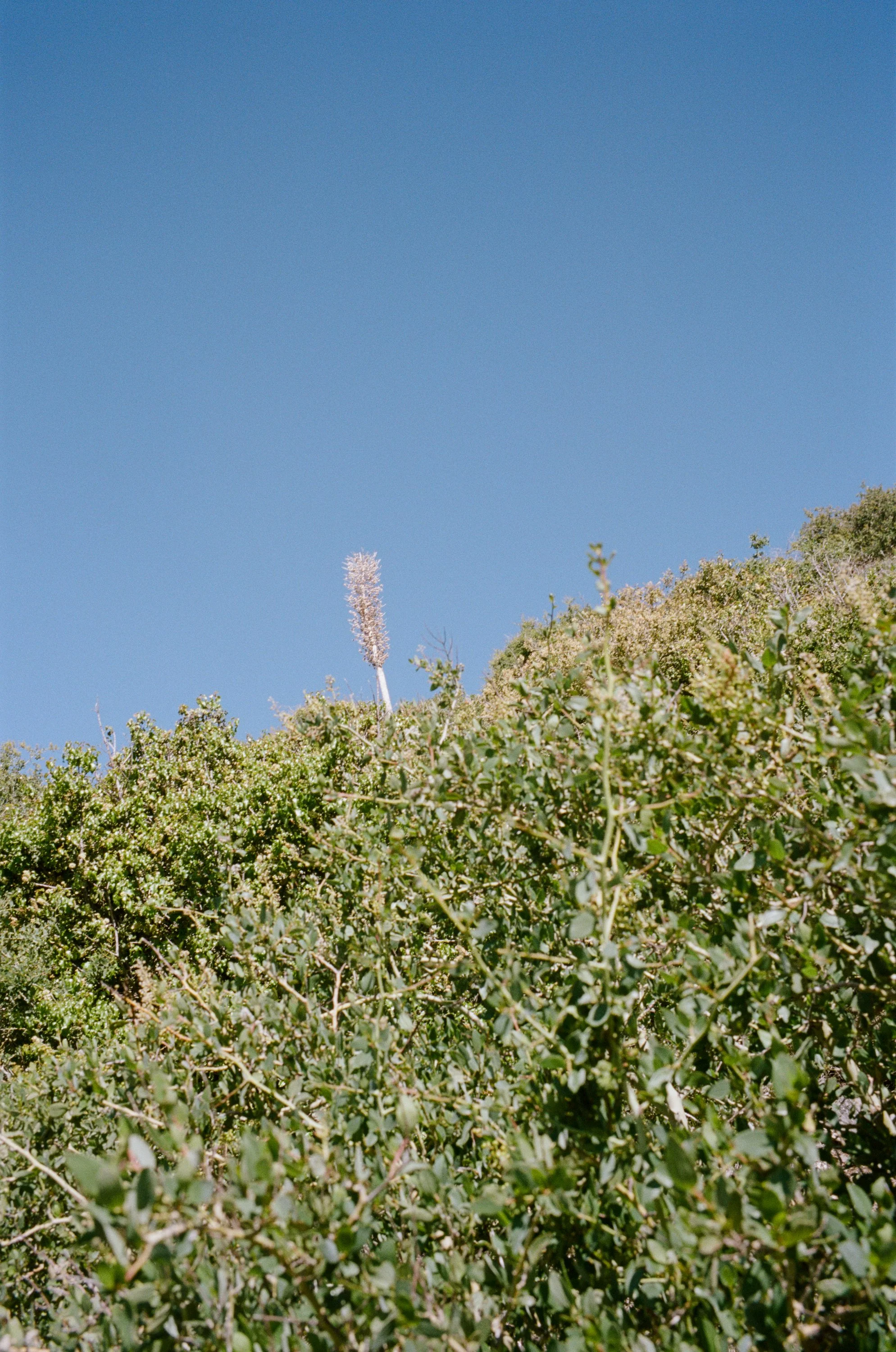
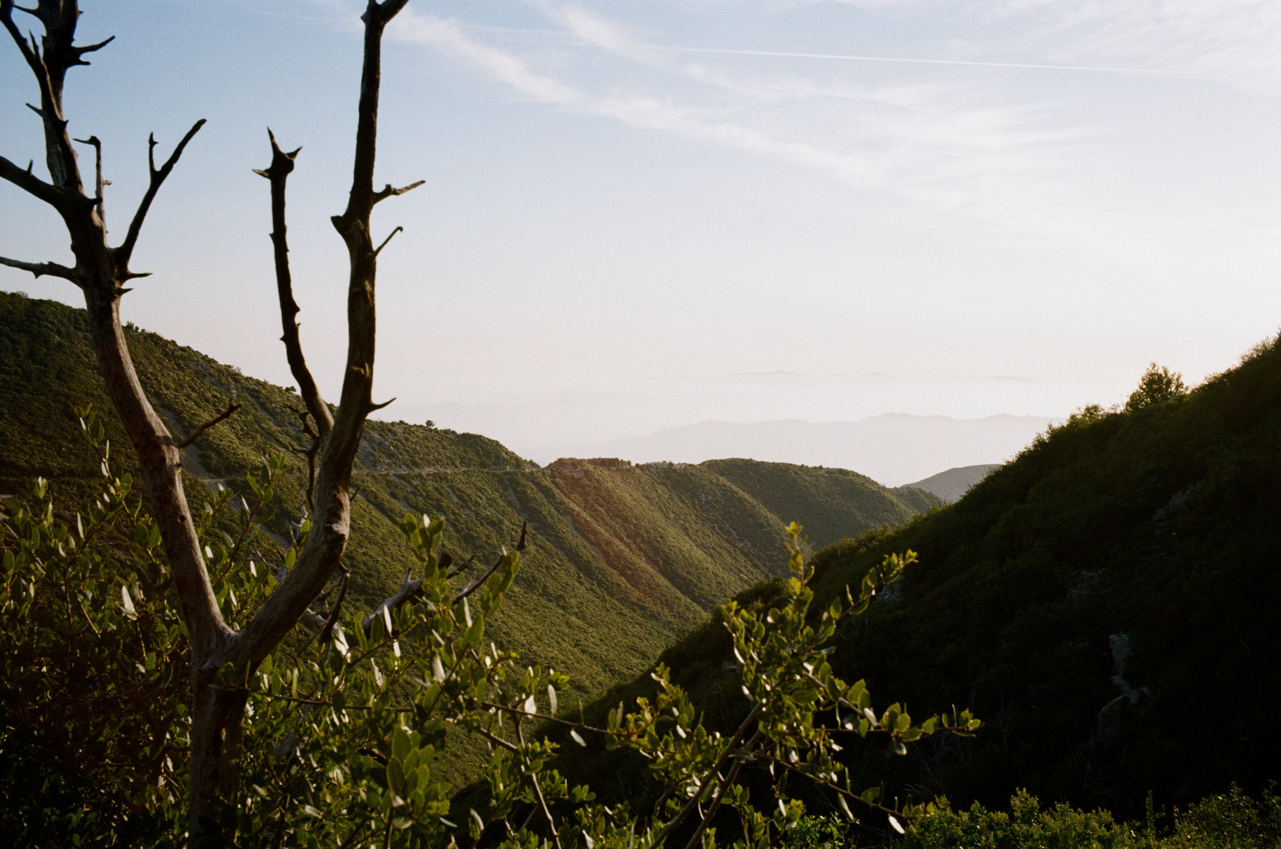
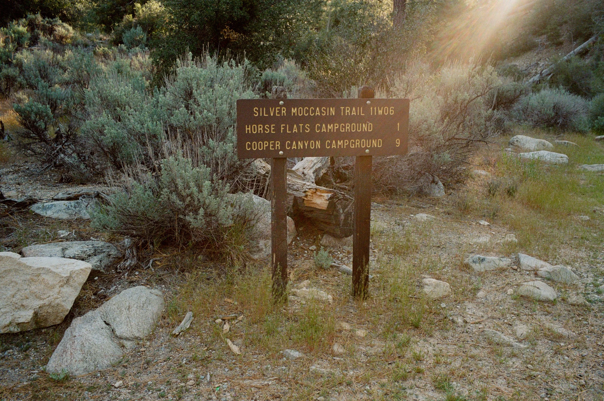
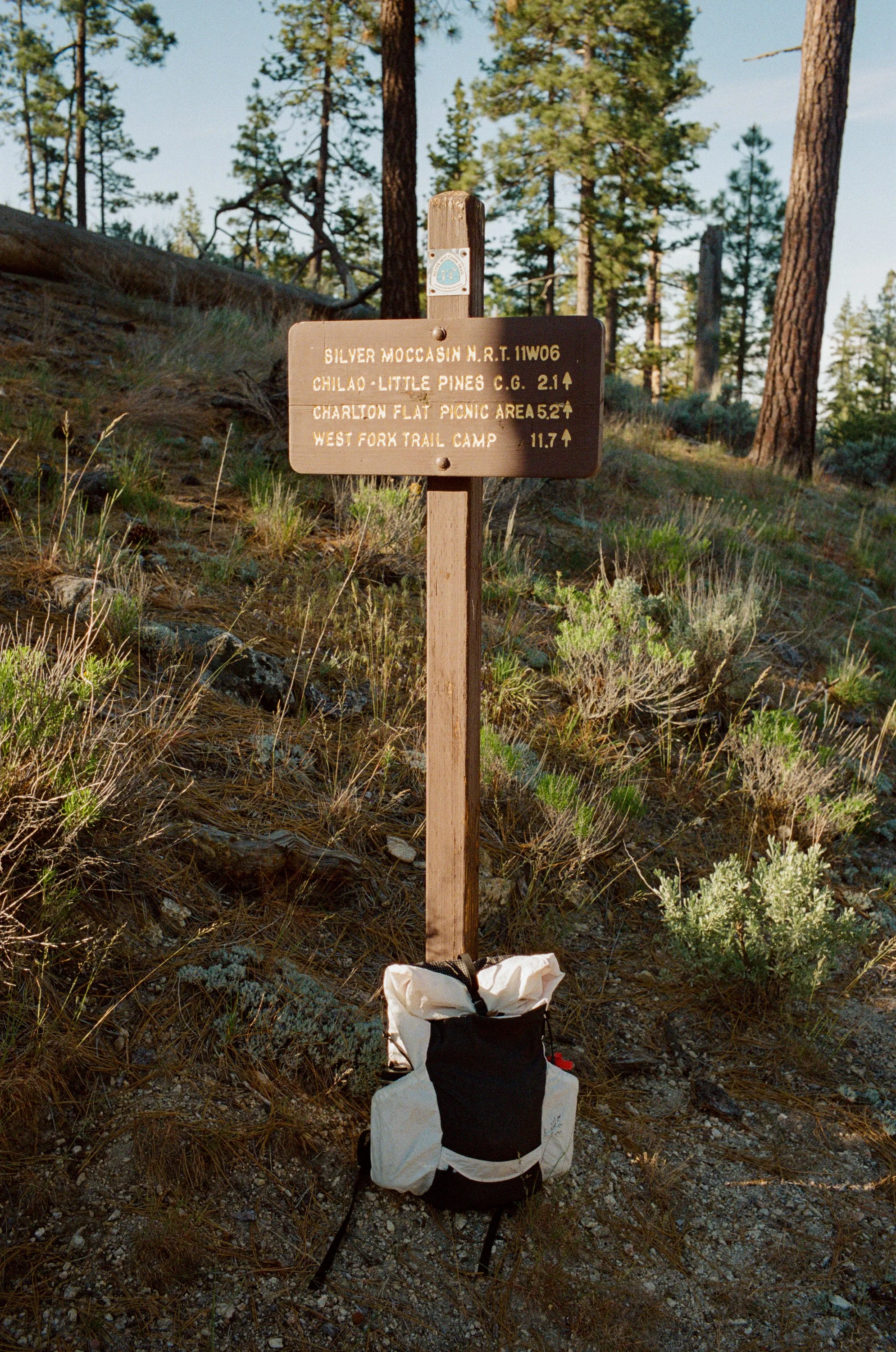
Mt. Hillyer
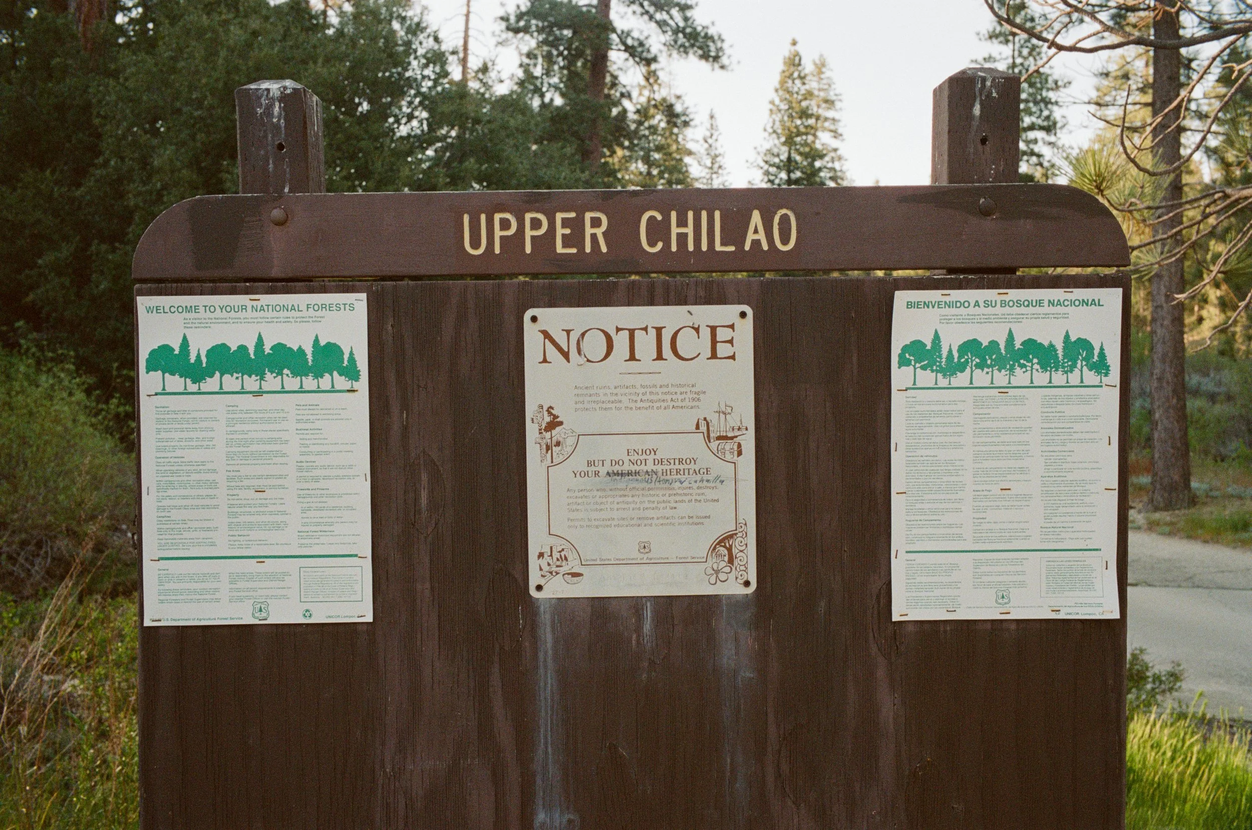
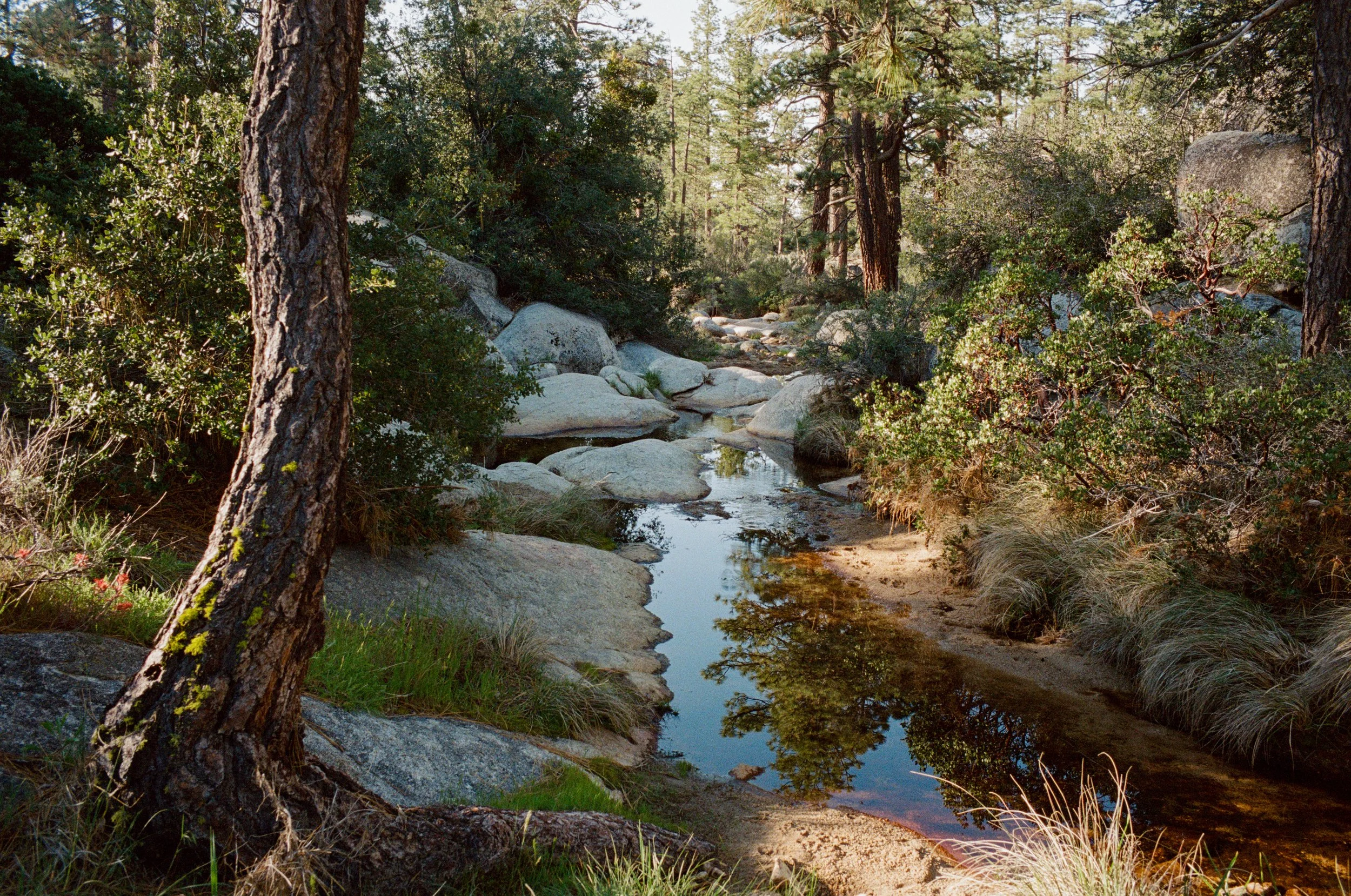
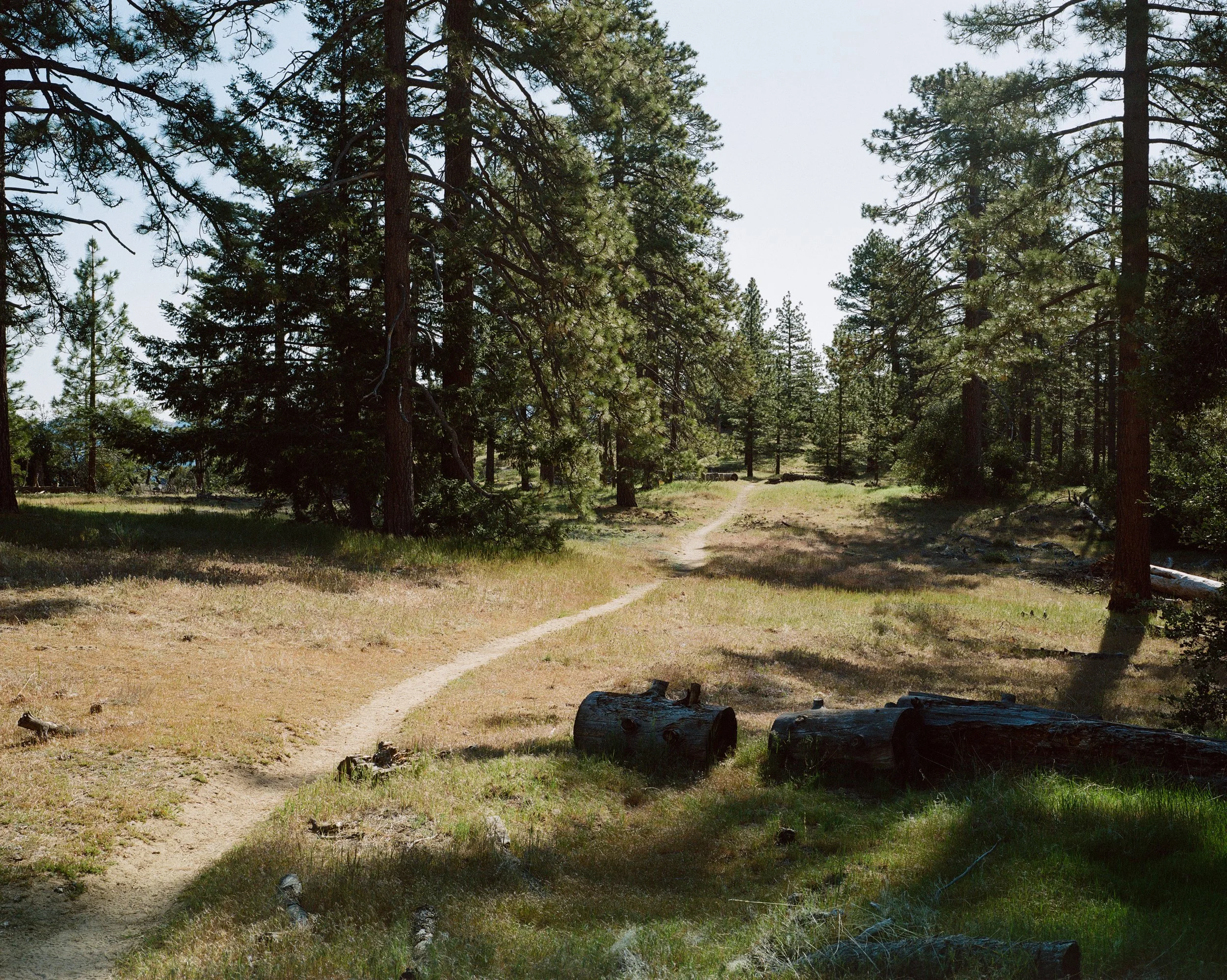
To close out my three-day weekend, I woke before sunrise, brewed some morning coffee and headed back up into the Angeles National Forest for one more hike, and one more peak -- although this peak is hardly that and the summit proves to be quite anticlimactic, albeit still a wonderful hike. Rarely is a hike not.
Beginning from Upper Chilao, you climb the Silver Moccasin Trail. Winding through the hills and trees, climbing slowly, you reach the top of Mt. Hillyer almost without even realizing it.
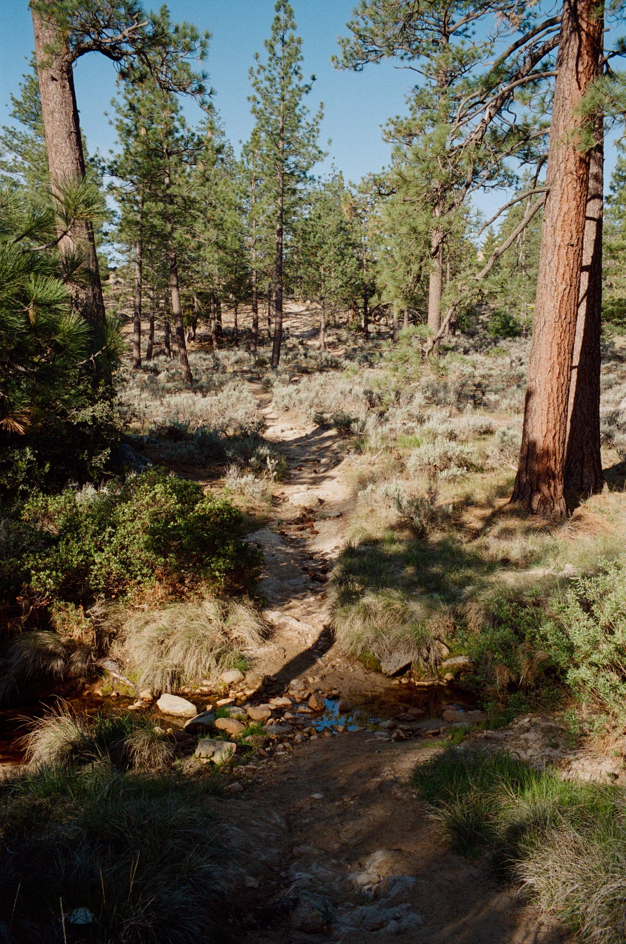
There's a few miles of a primitive road walk on my loop back down, but this zone and its scenery are new to me, so I don't mind the absence of singletrack for this section.
It's incredibly nice to be able to spend my weekend in the mountains. Even on the weeks where I cannot get away fully, and do something more "grand," we can always get into the local mountains where I can get that feeling of being out in nature. Out here with a camera or two, and a bag full of film is a freeing feeling.
Just One Night
How much can you really get into in just one night?
How much can you really get into in just one night?
Well, you can do a hell of a lot more spending one night outside than you can just sitting at home. Its tough to get the motivation to pack everything up and make the drive out somewhere all just for one night, but we've been doing it more and more over the last year or so and it is always worth it.
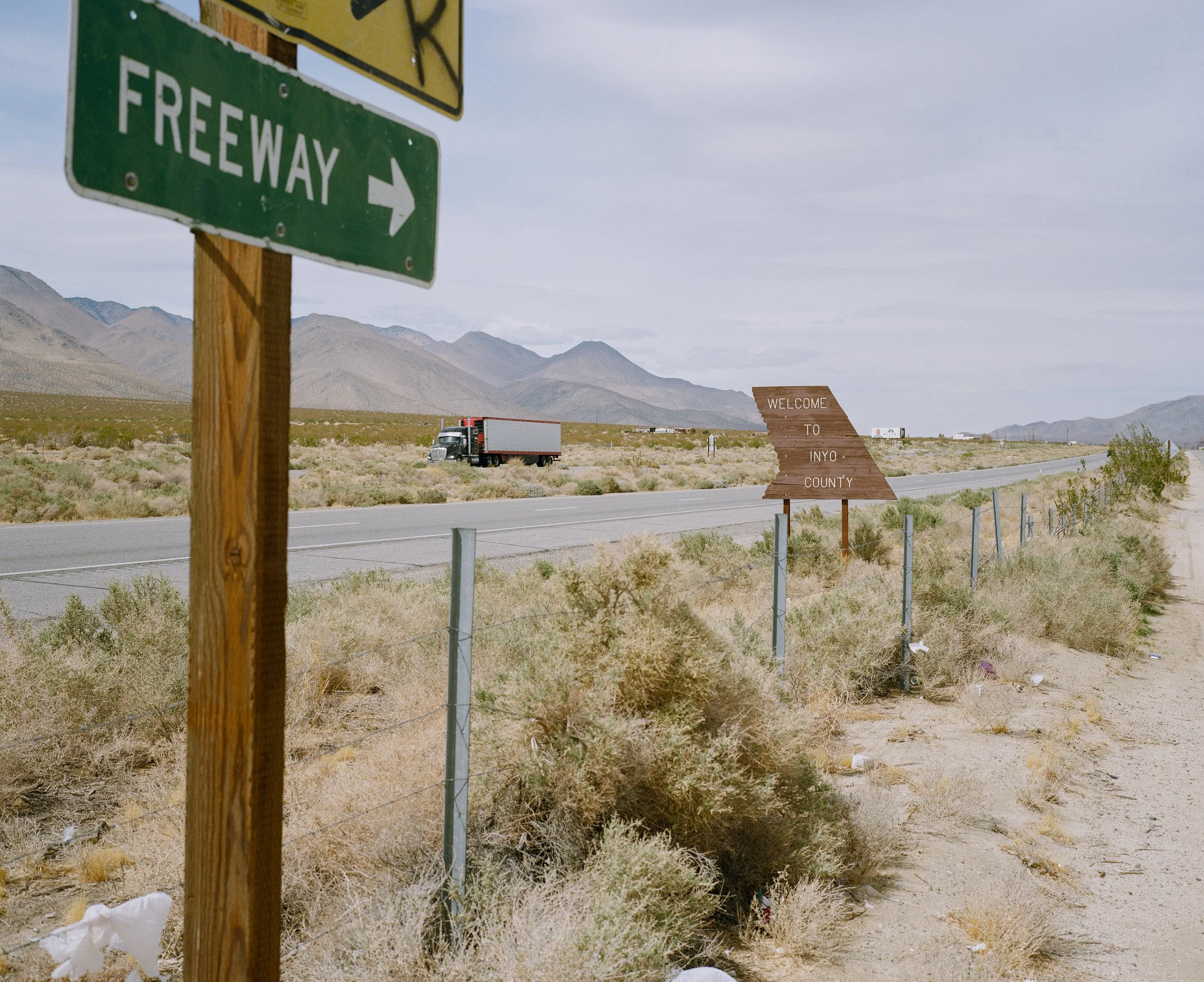
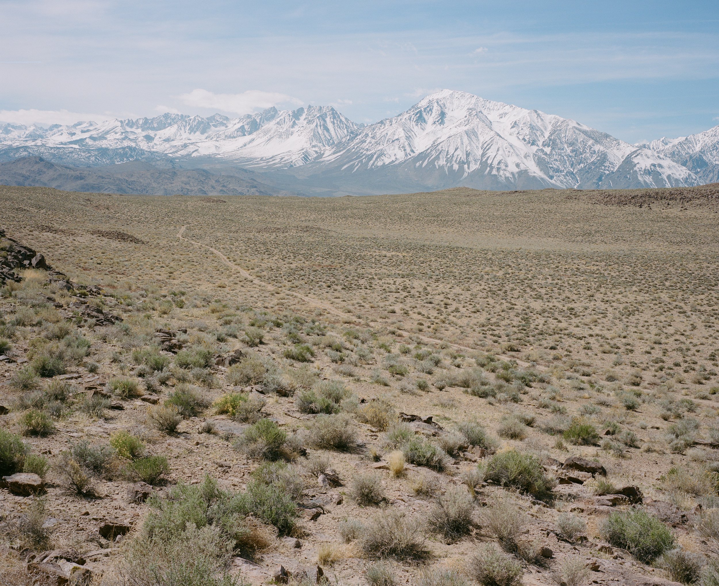
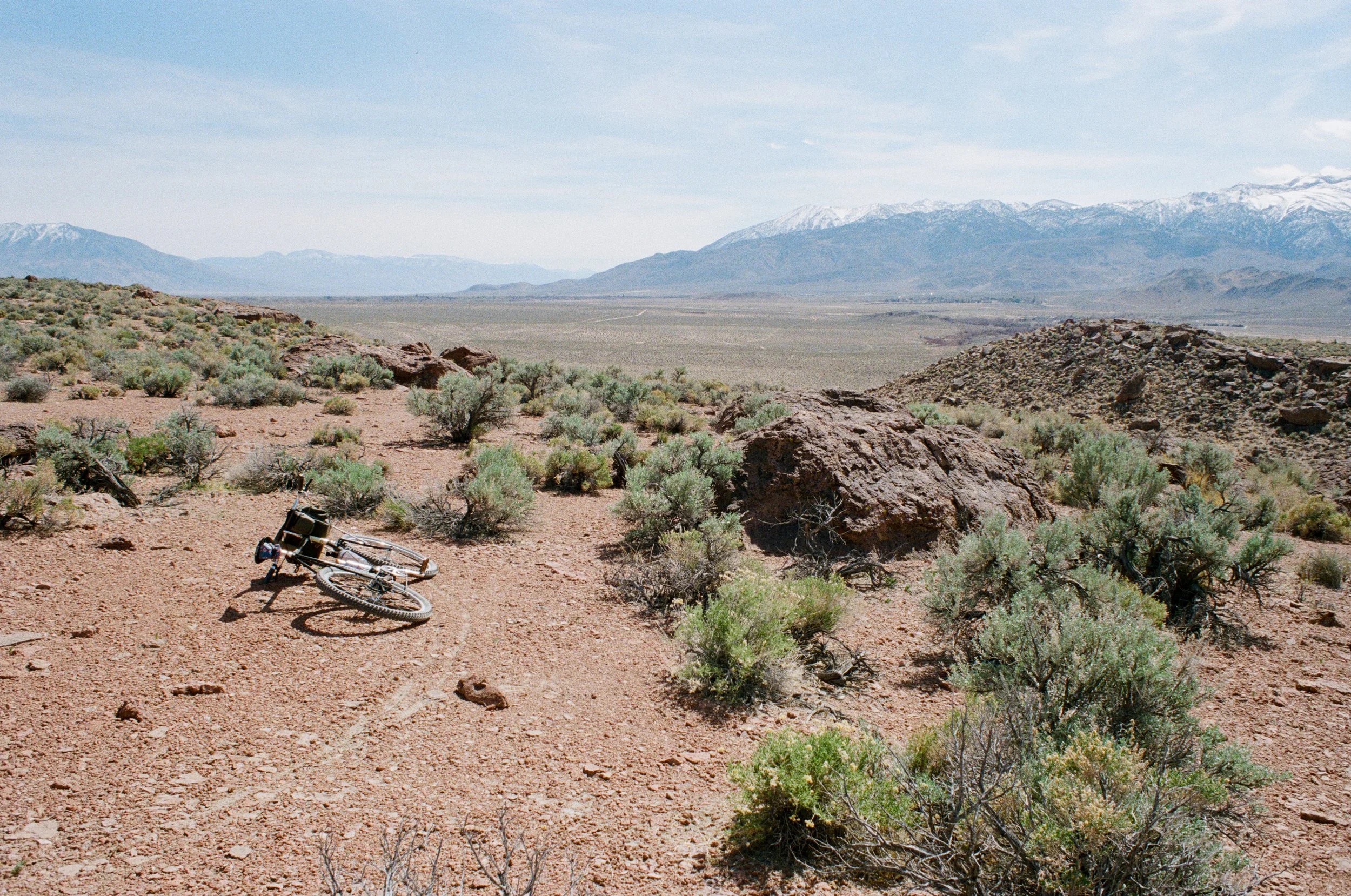
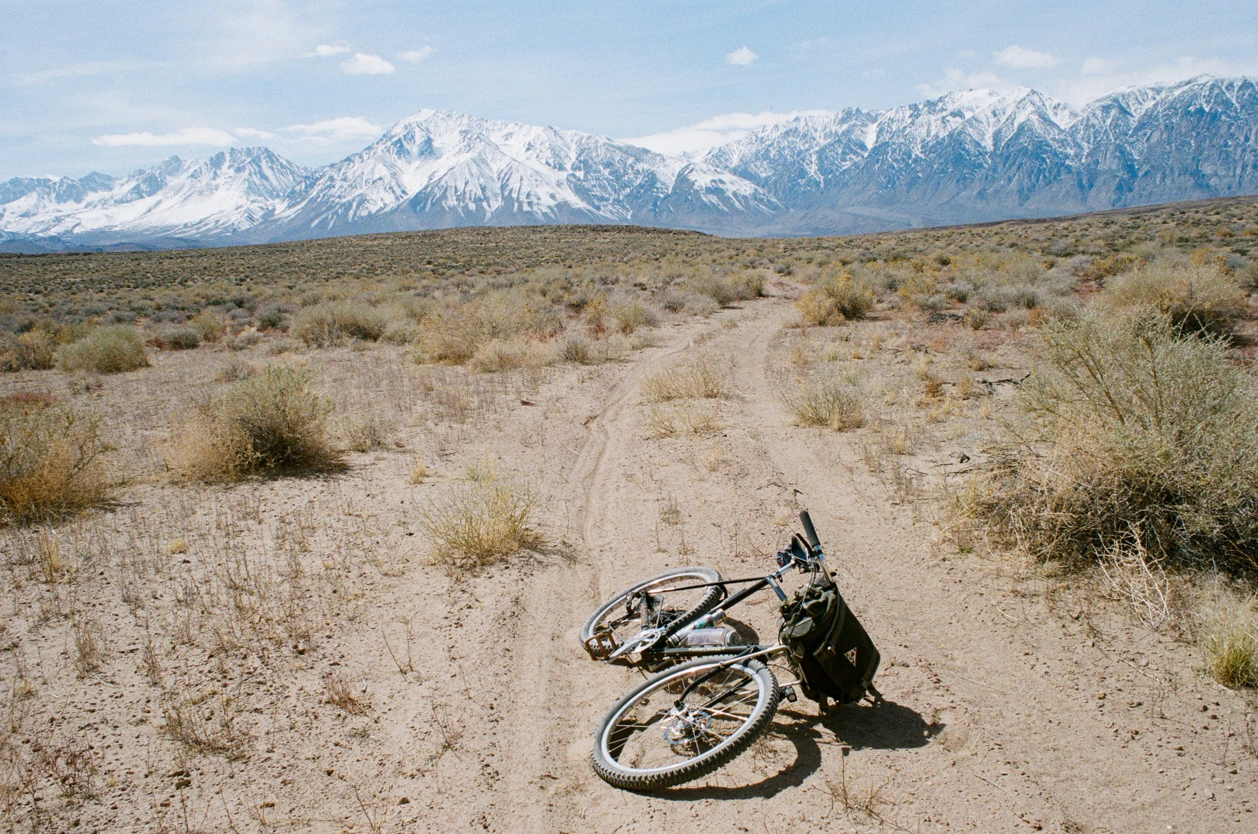
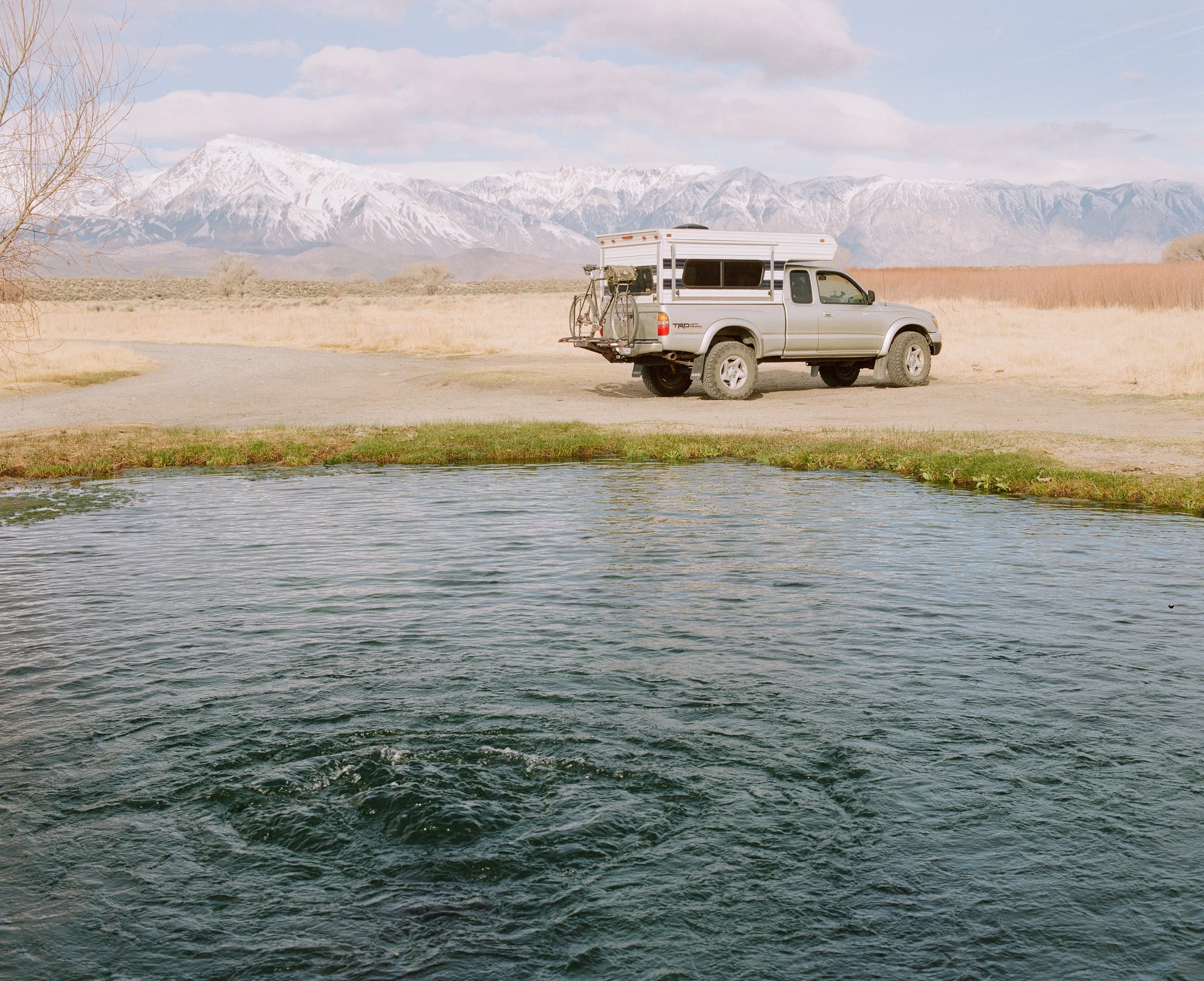
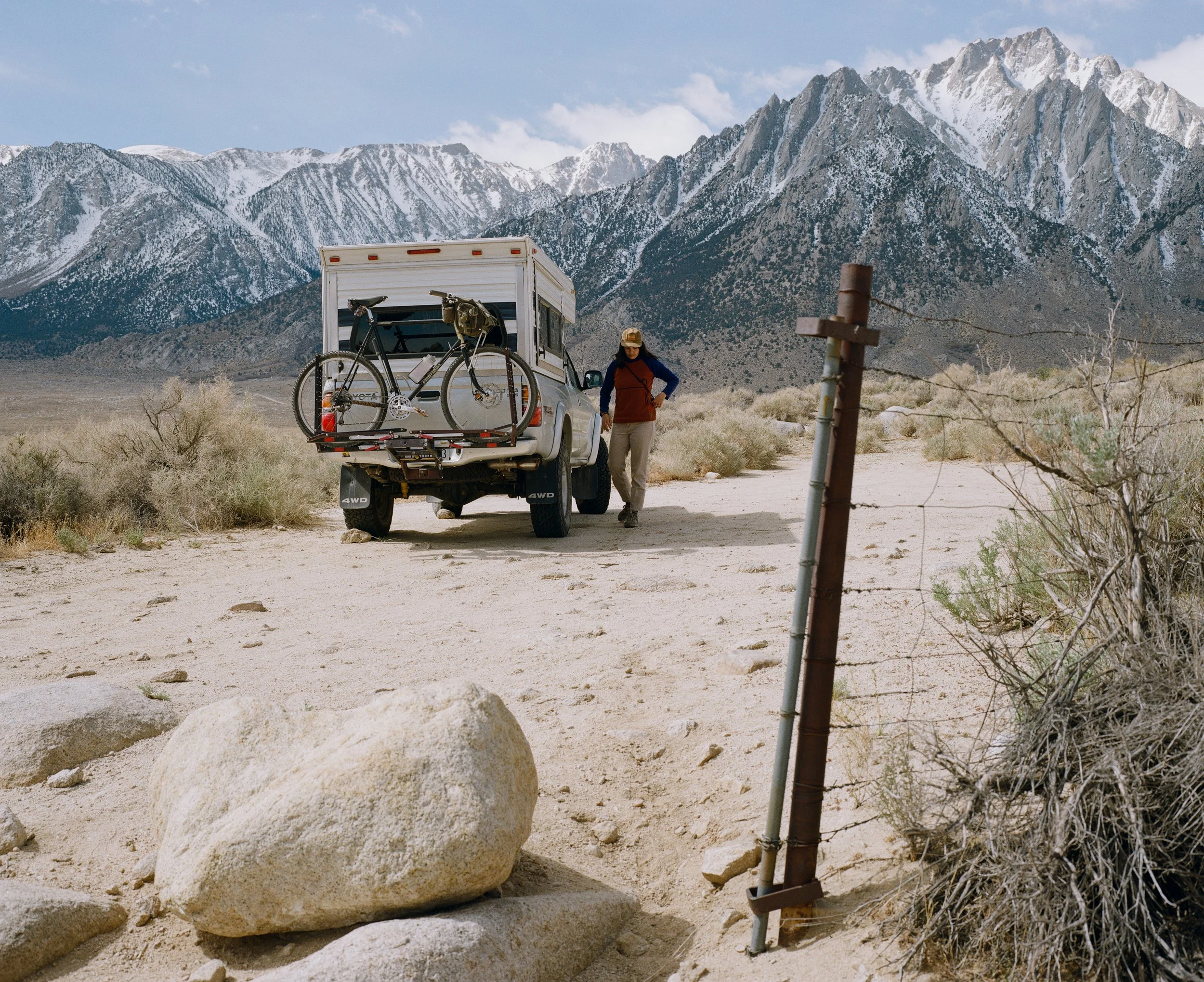
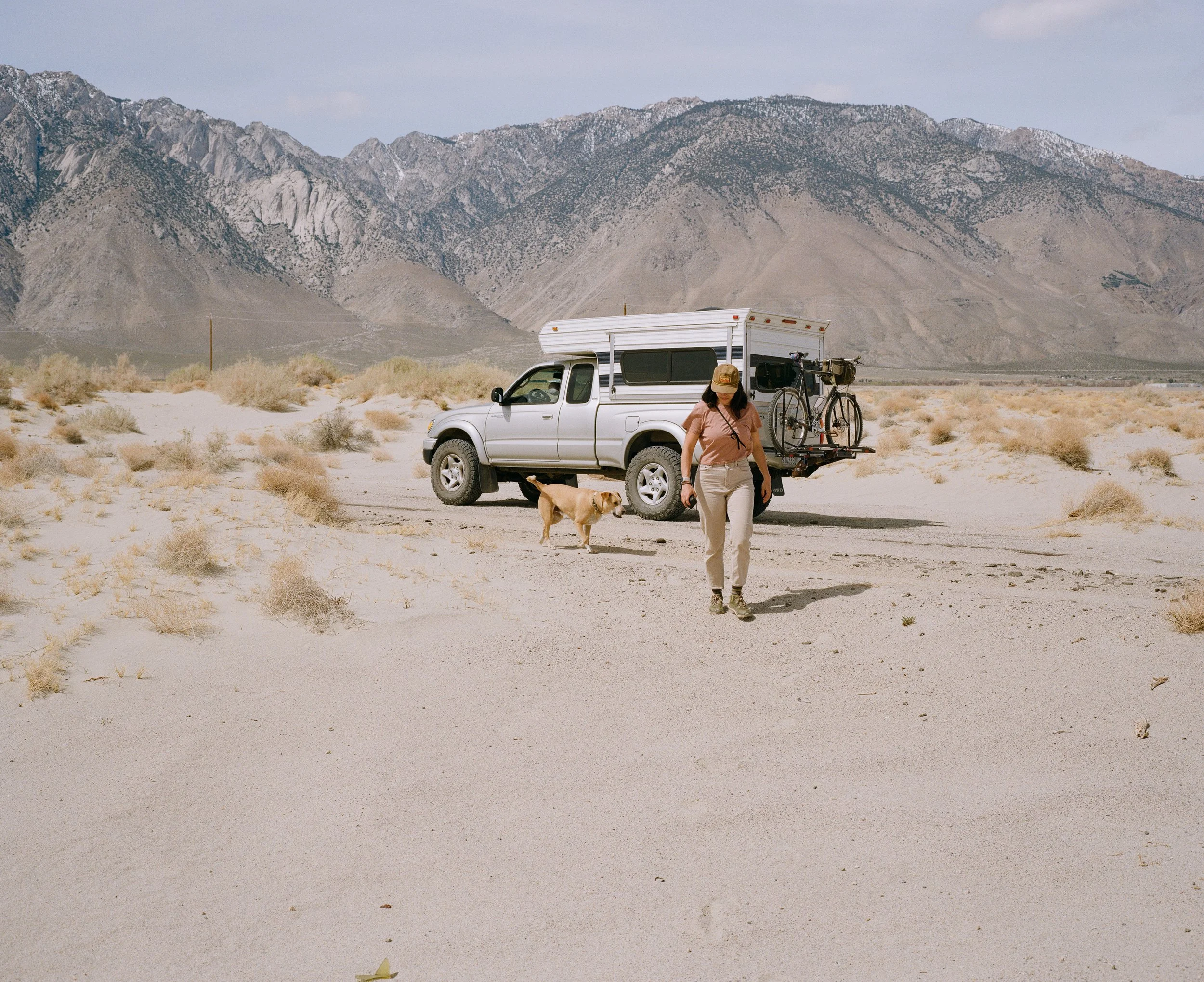
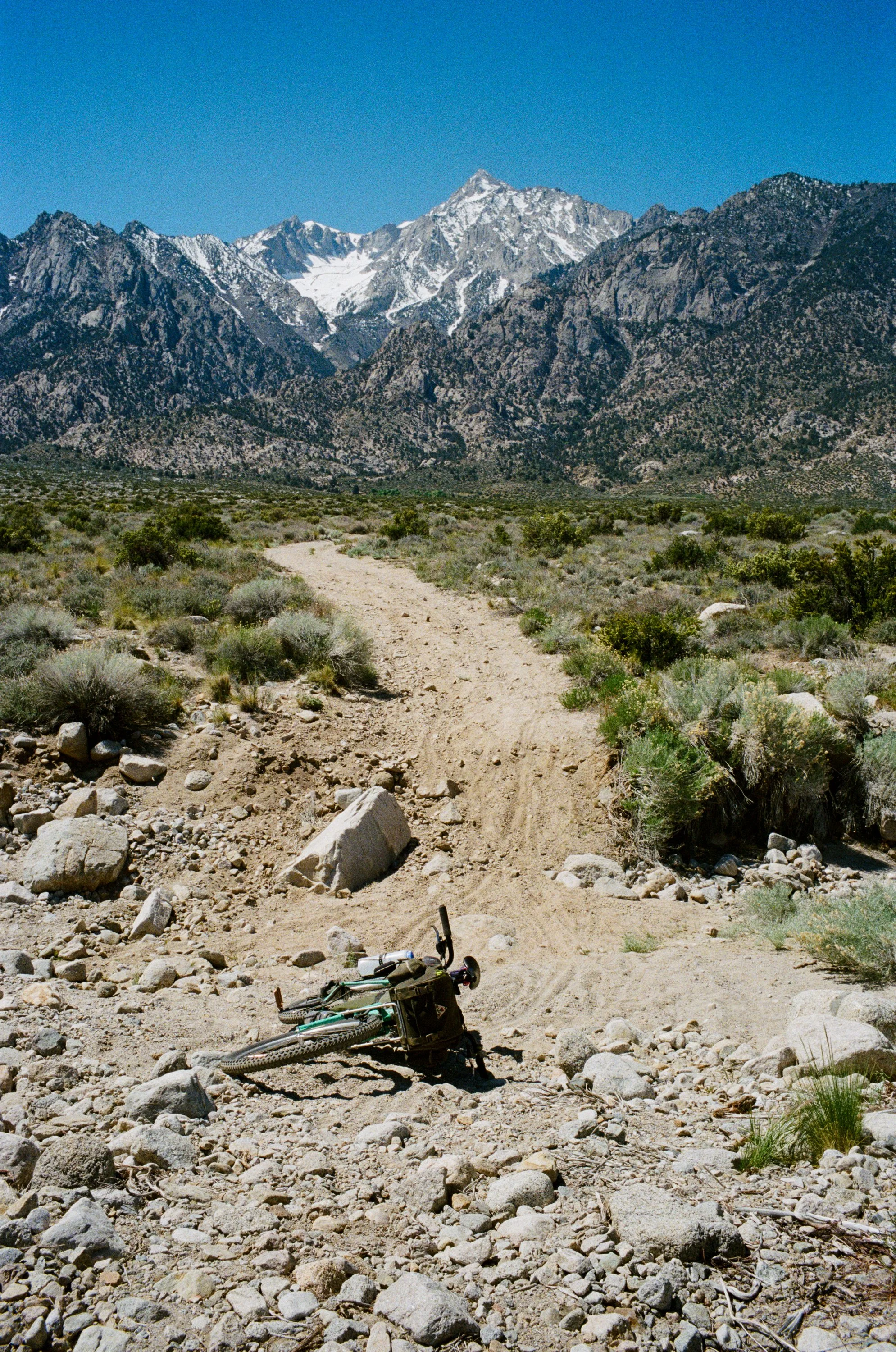
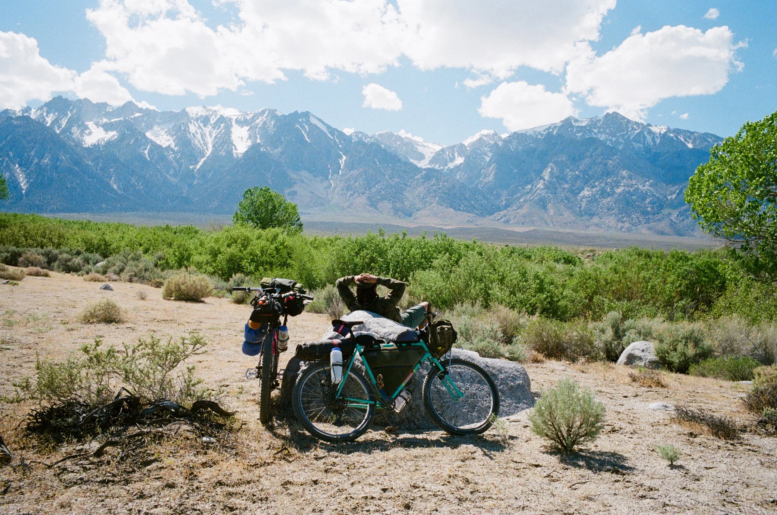
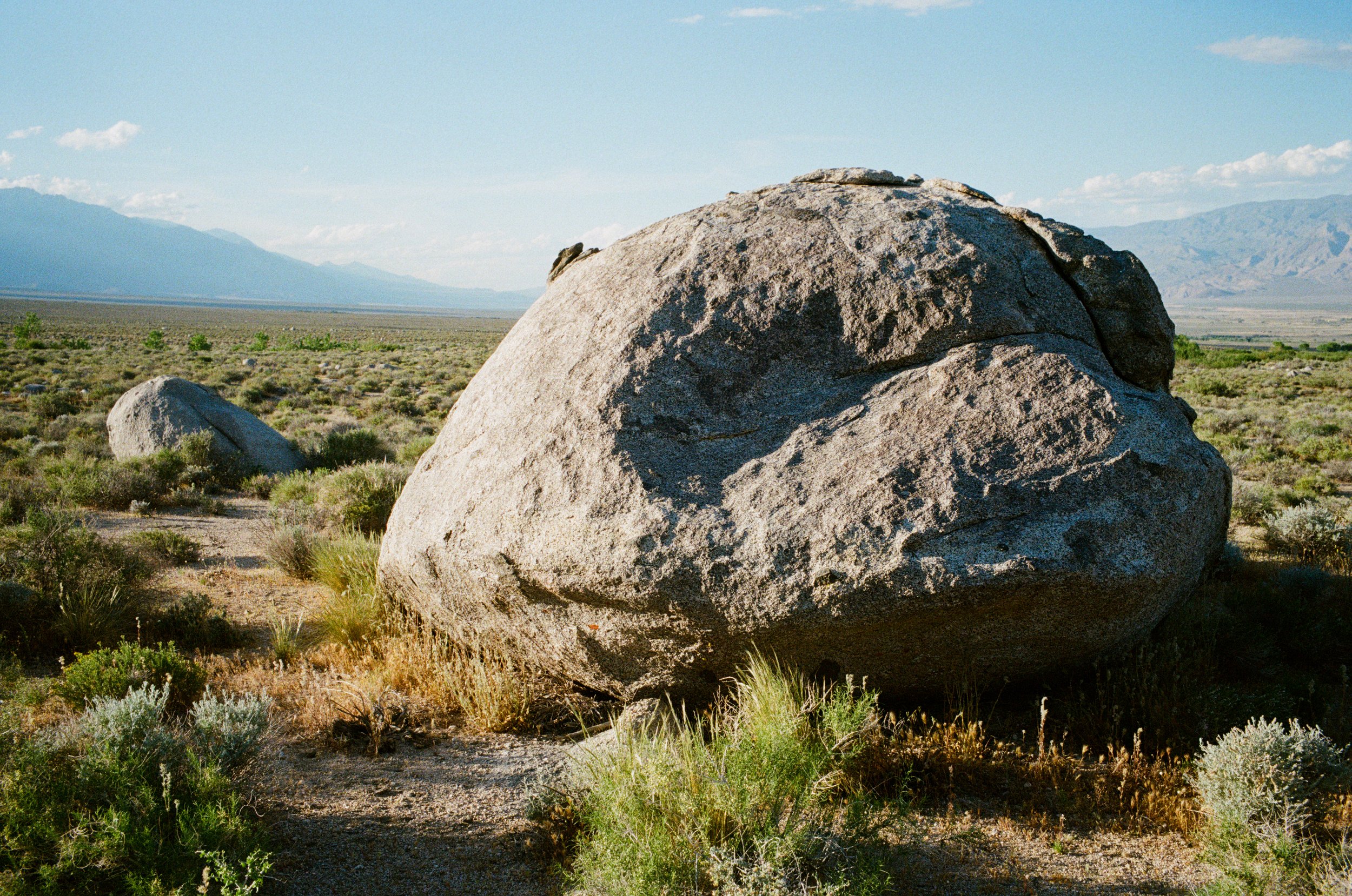
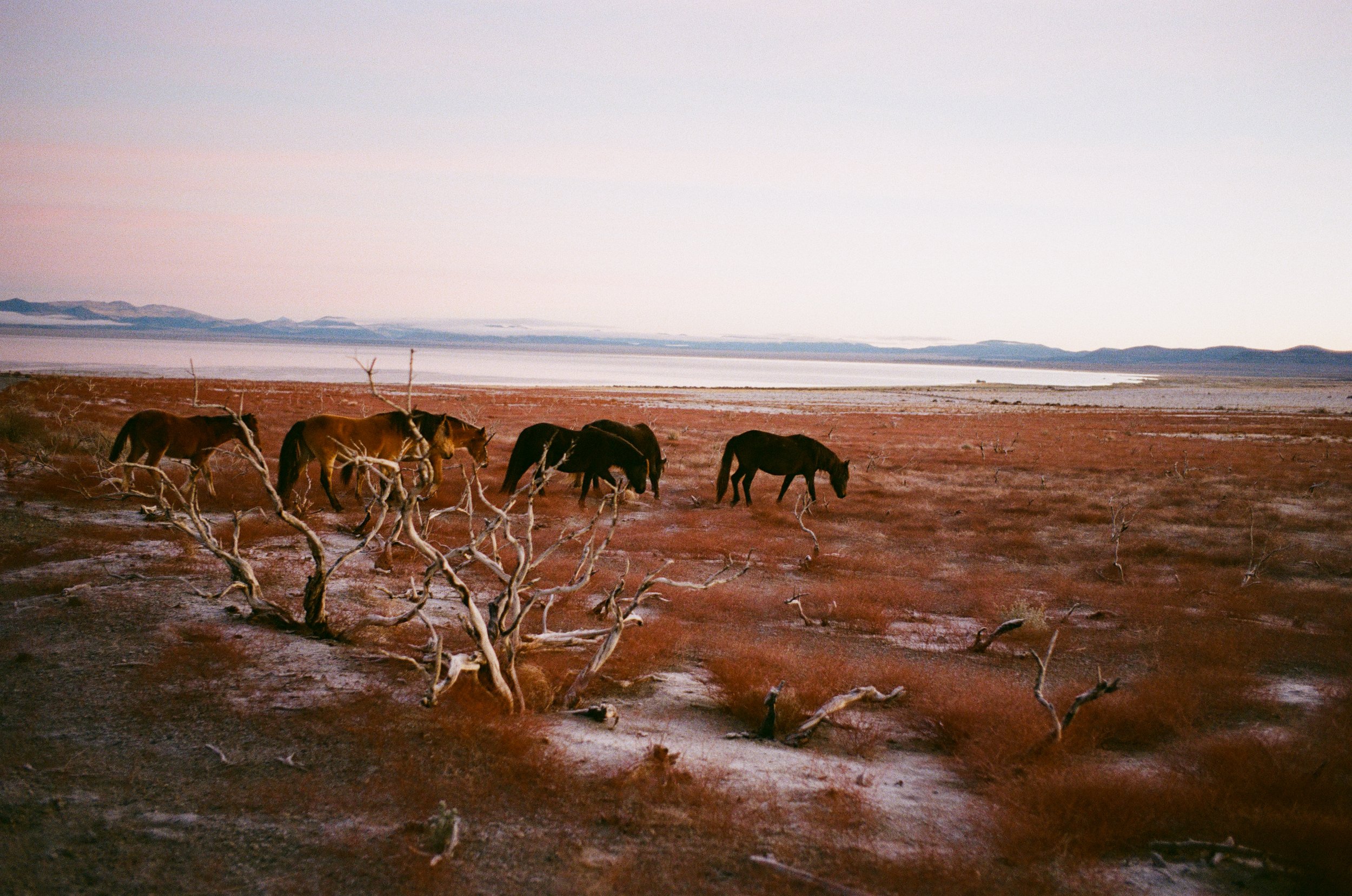
On a trip last spring we set out early from home in Los Angeles to one of our favorite camping zones - the Owens Valley. We covered a bit about this region in our last report, but this time we are a bit higher up North and we get into some of the more unique geological sections of this region.
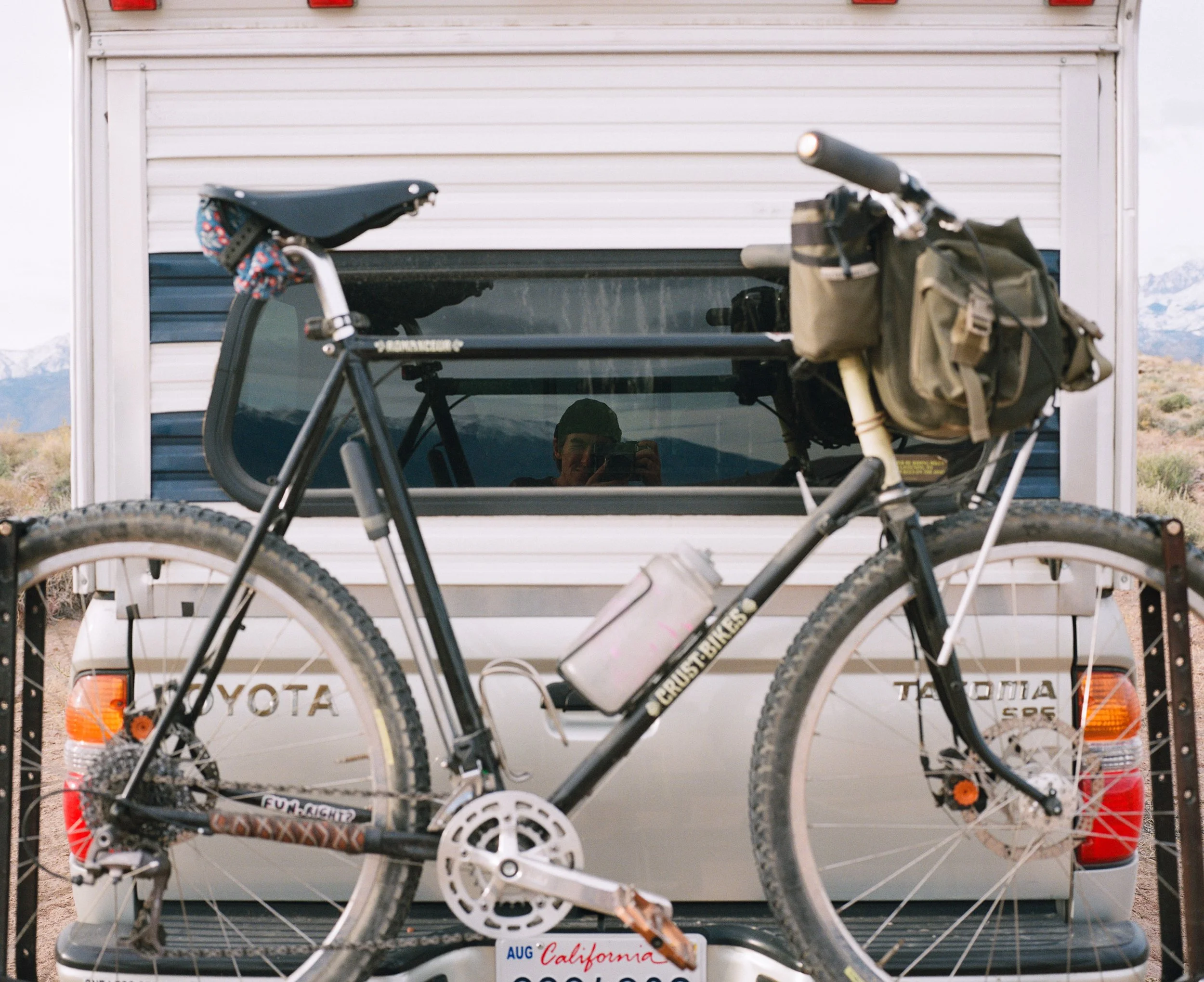
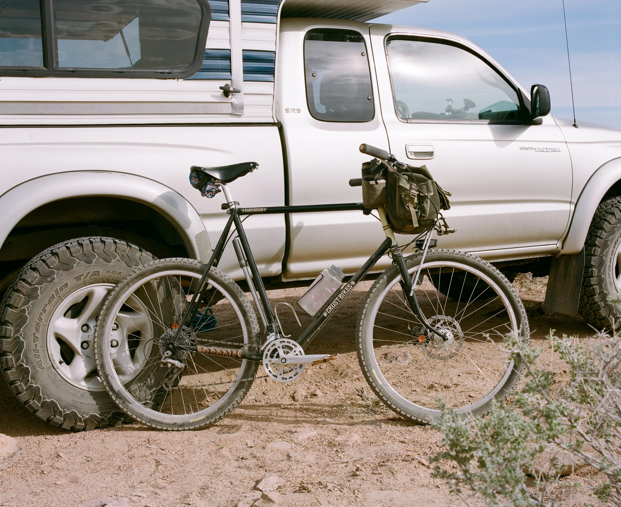
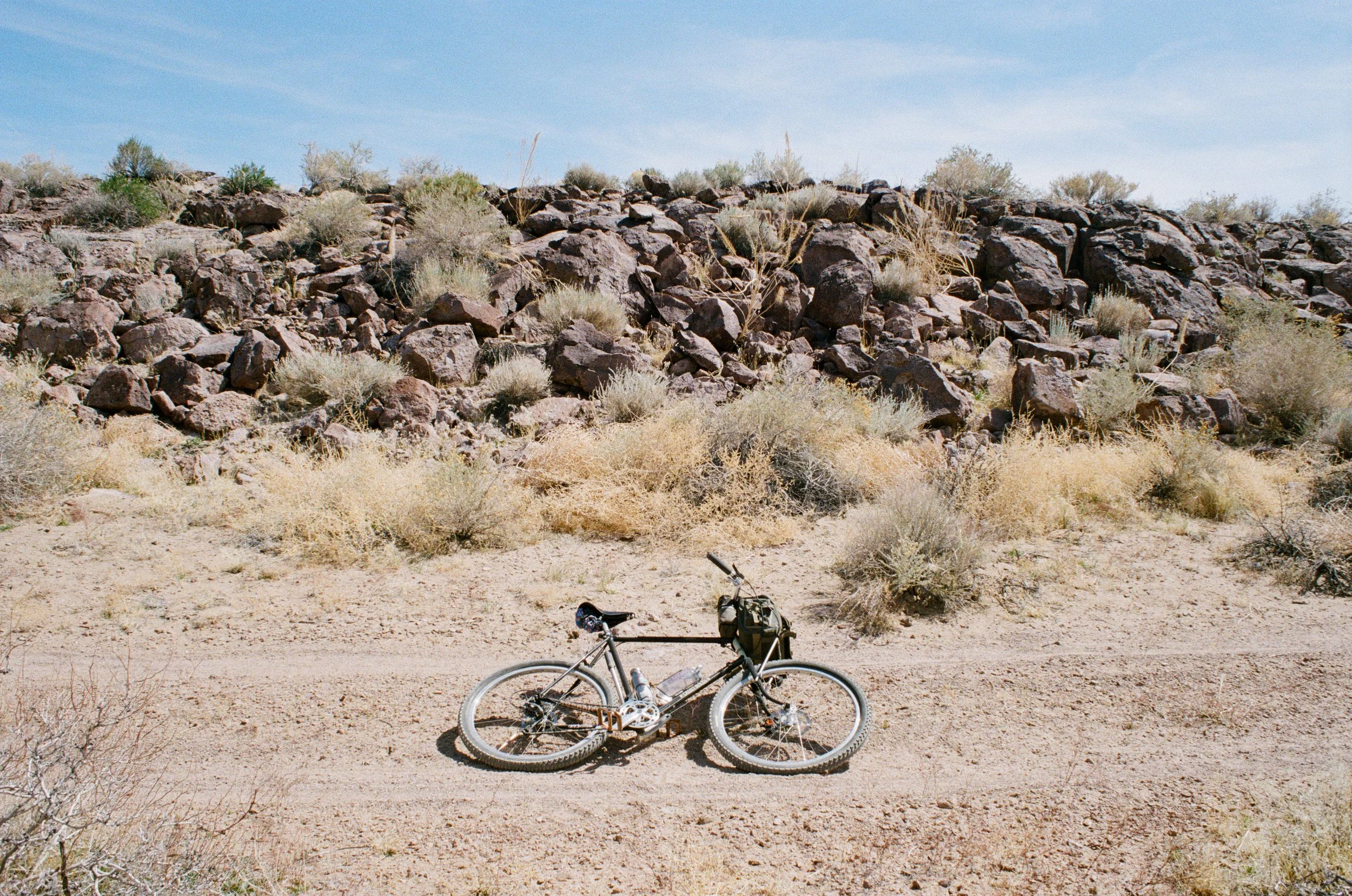
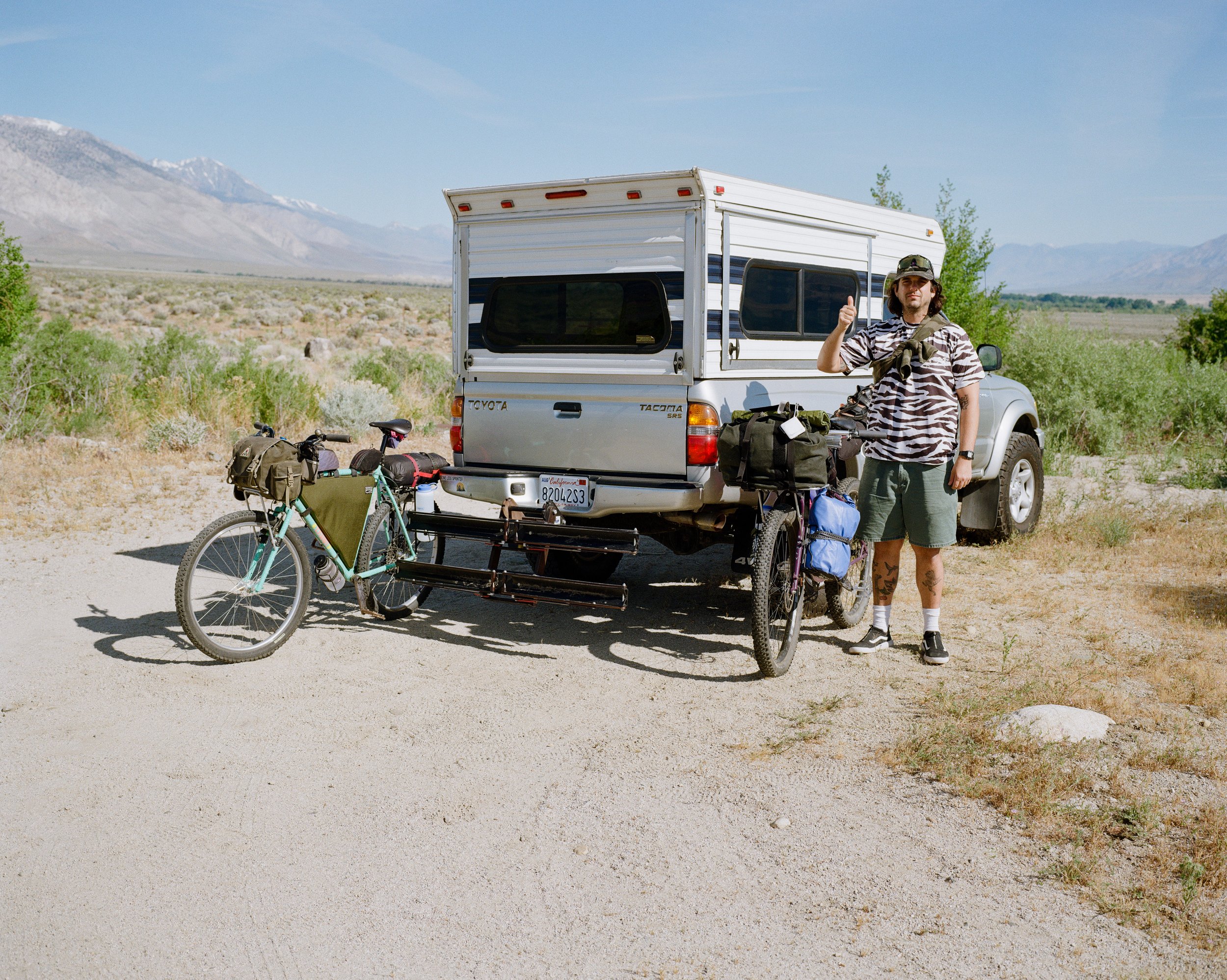
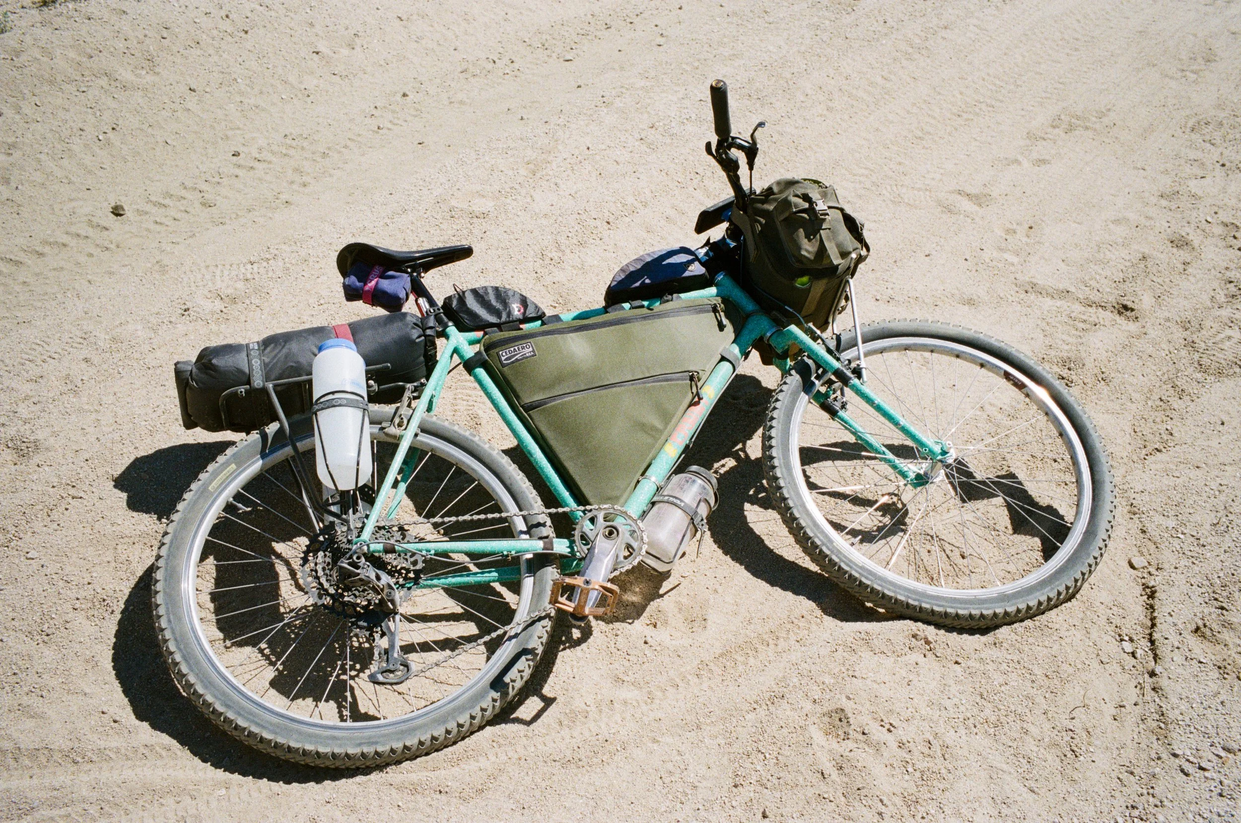
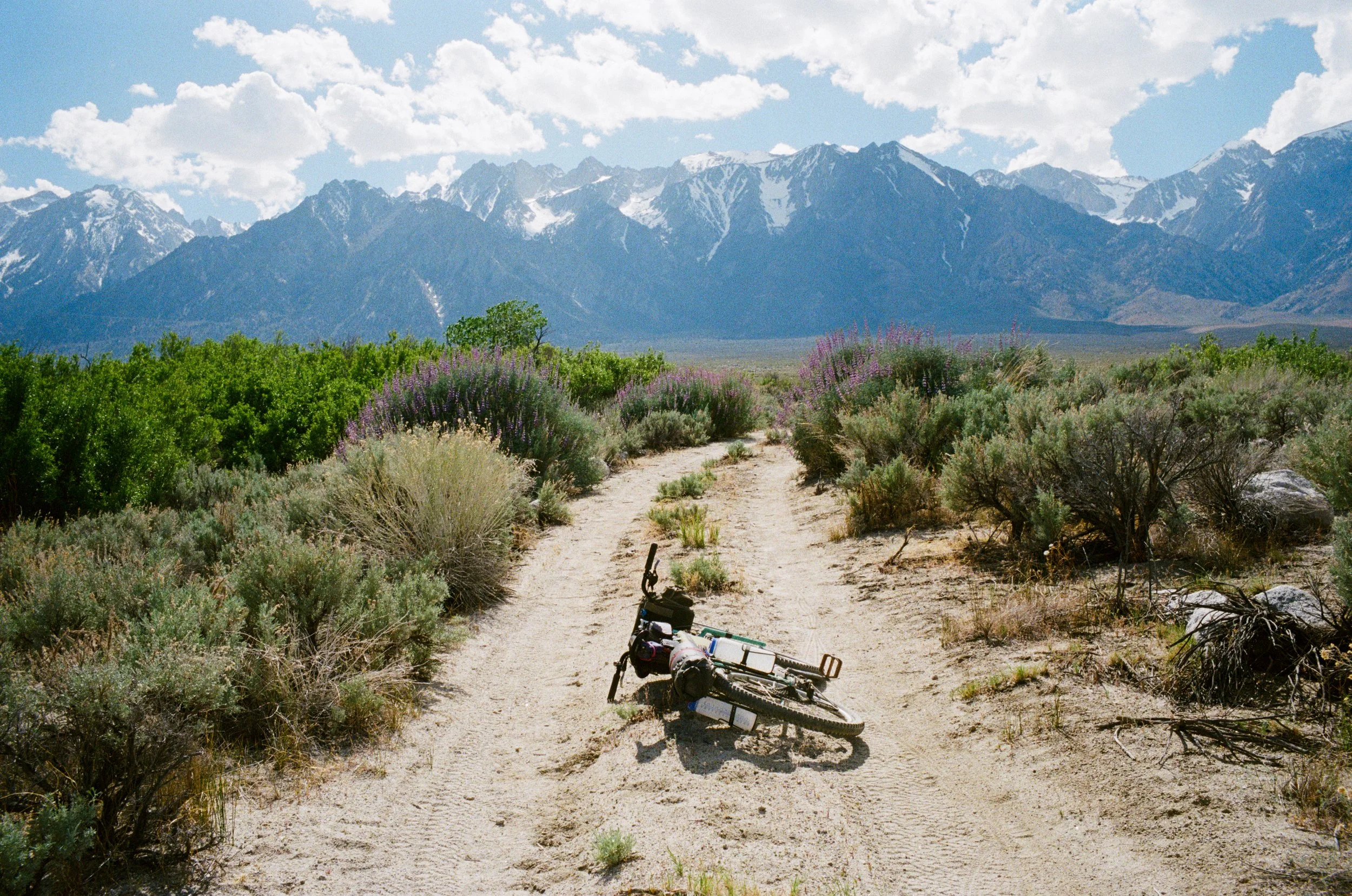
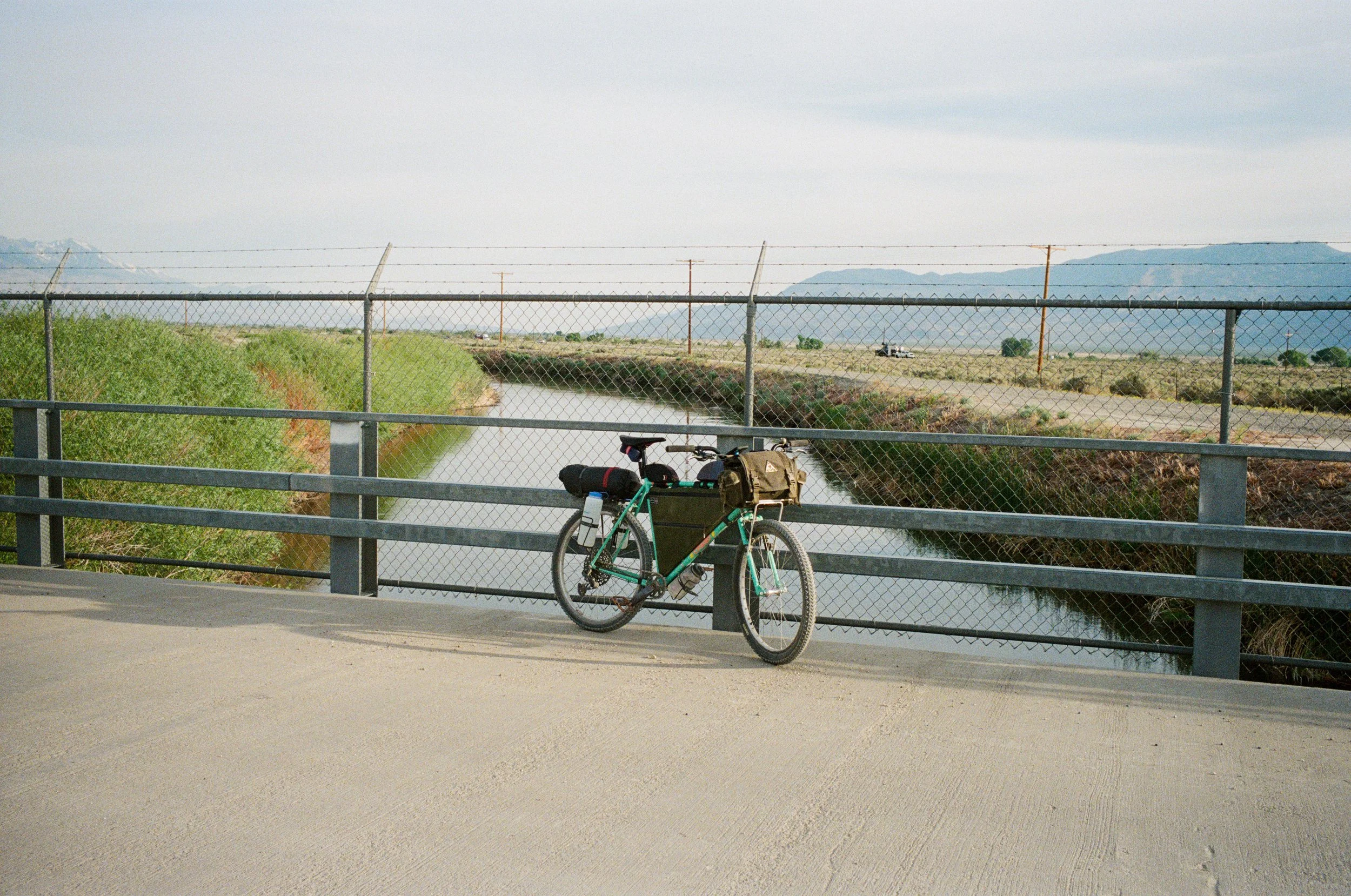
We pulled the truck into camp around noon and I spent the next couple of hours pedaling my bike around the adjacent area. Here in the Volcanic Tablelands outside of Bishop, CA you are met with some interesting rock formations created by many years worth of volcanic activity. And the best way to see it all is, of course, from the saddle of a bicycle.
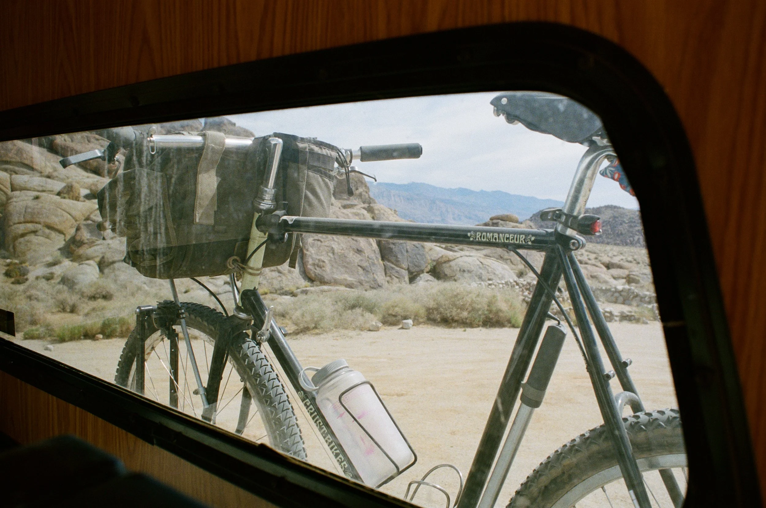
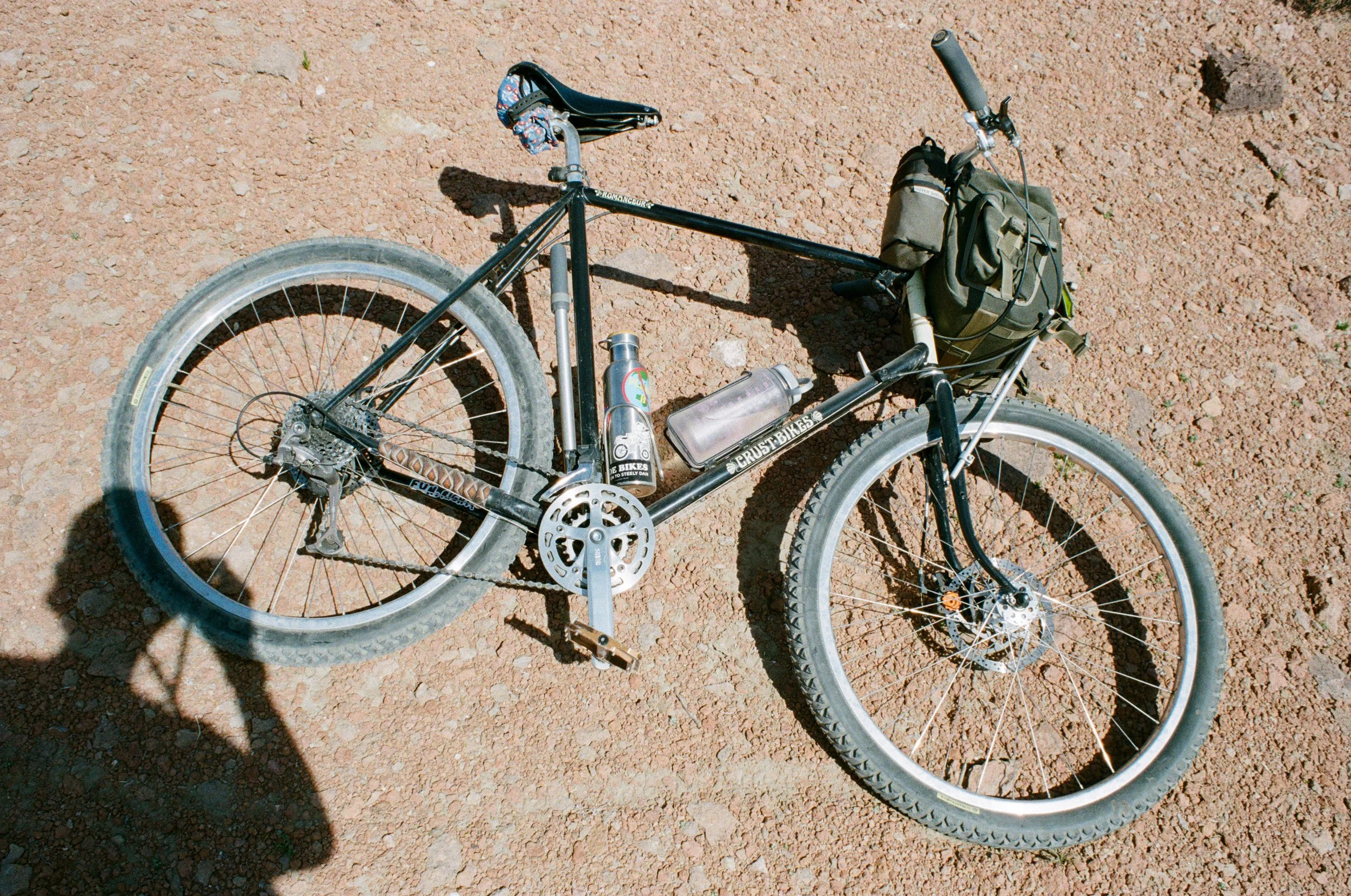
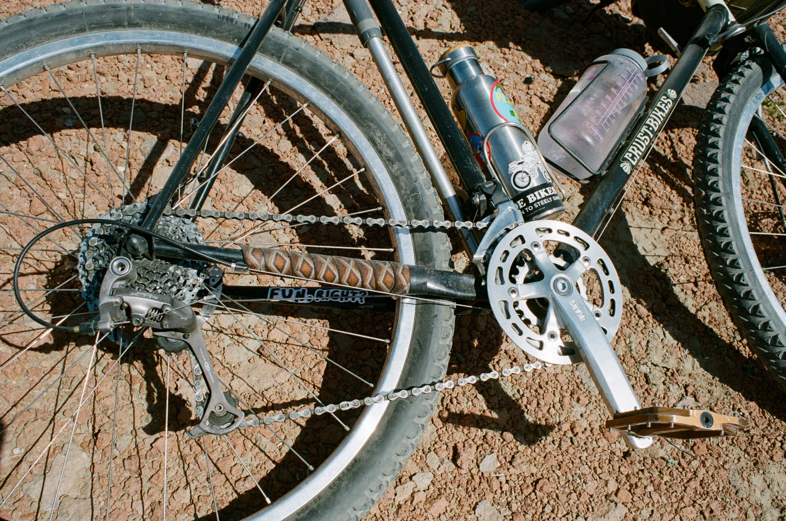
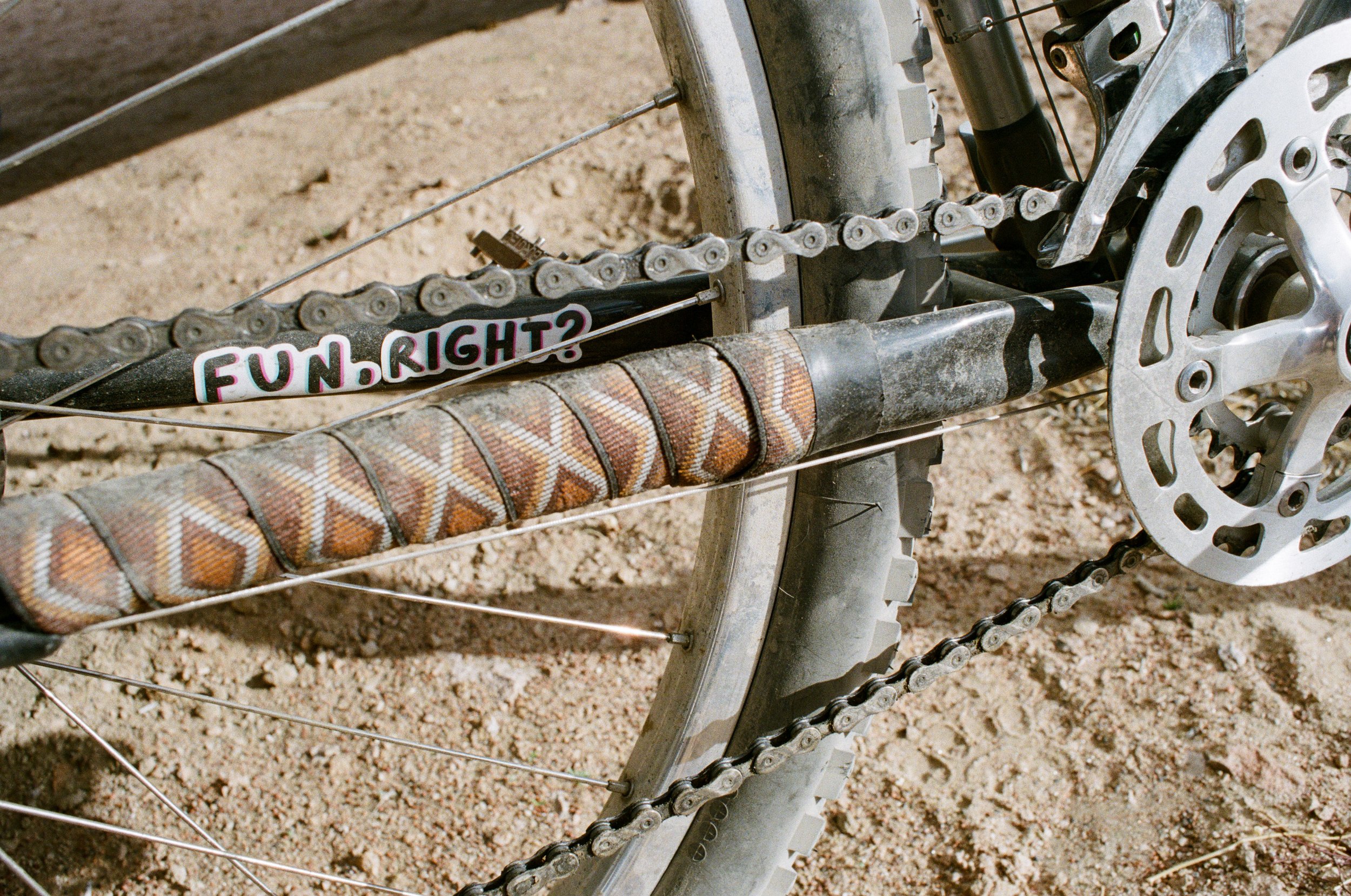
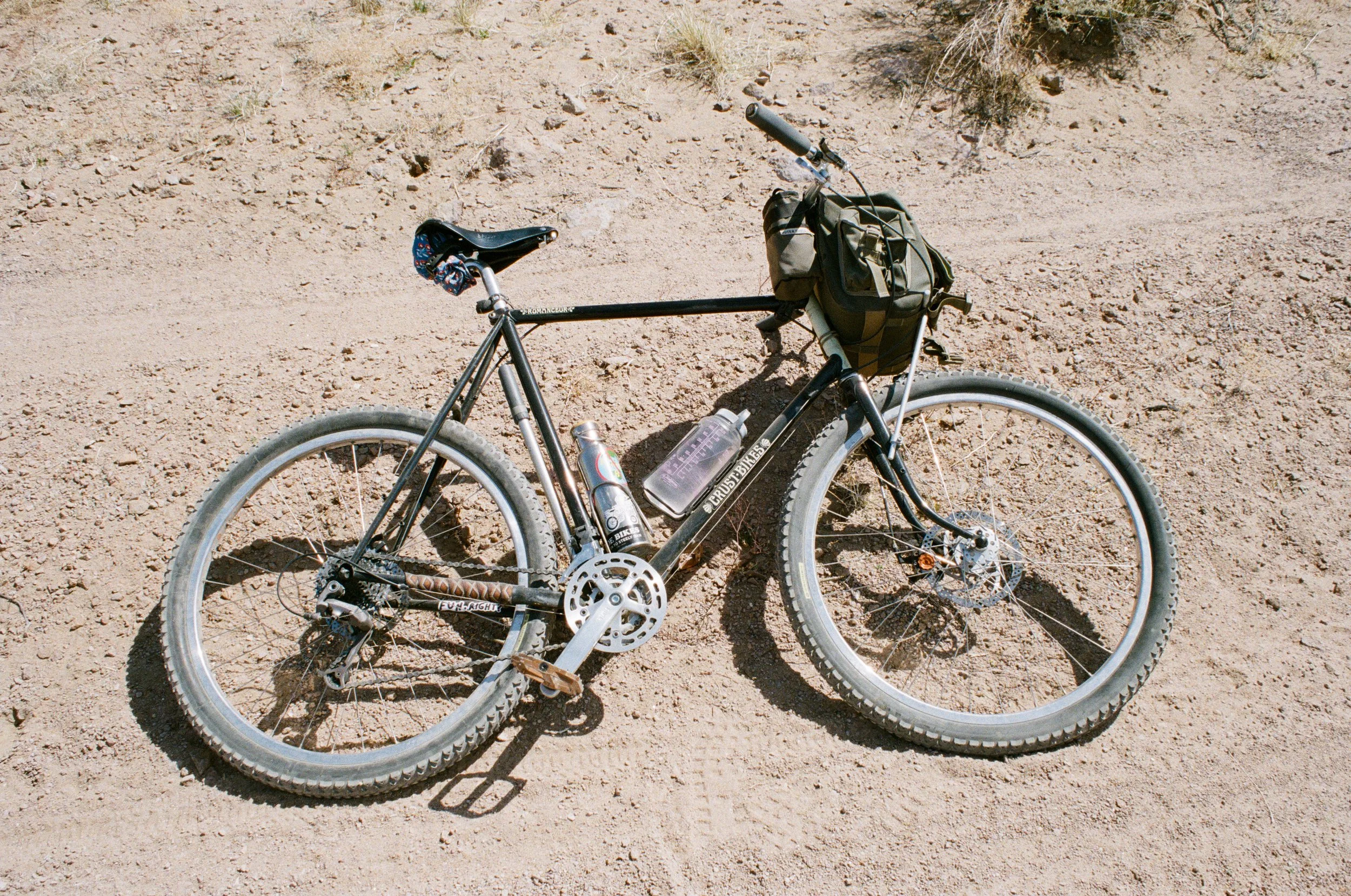
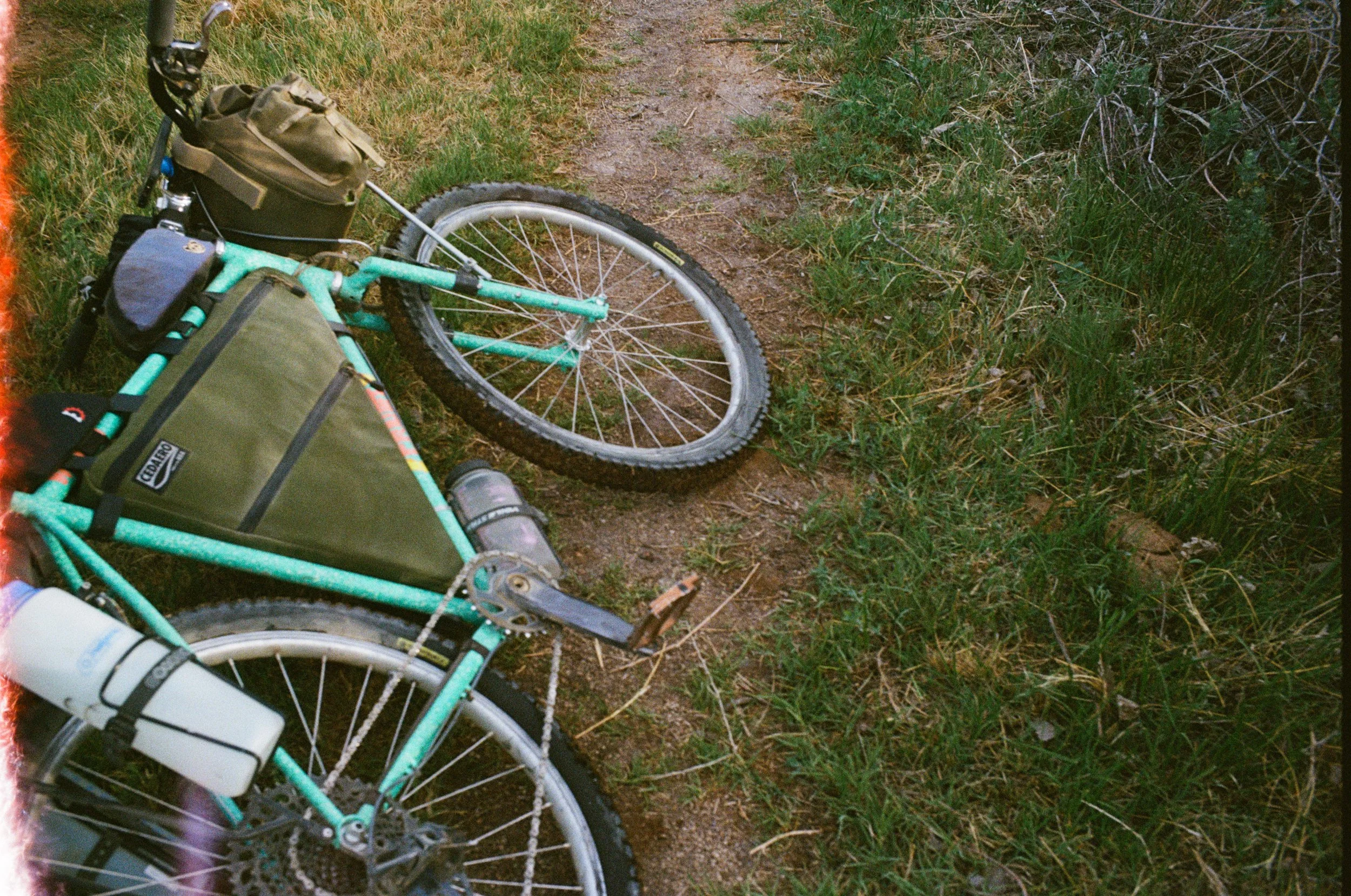
The terrain in this part of the valley is wonderful for riding bikes, yet at times you will run into some deep sand, so bring the biggest tires you've got. The Crust Romanceur was a perfect choice for this ride with its 2.3" tires and upright riding position, it made for a comfortable cruise through the Tablelands. And, like any worthy bike, it has plenty of bag space for cameras, binoculars, and snacks - and it still handles well when loaded down.
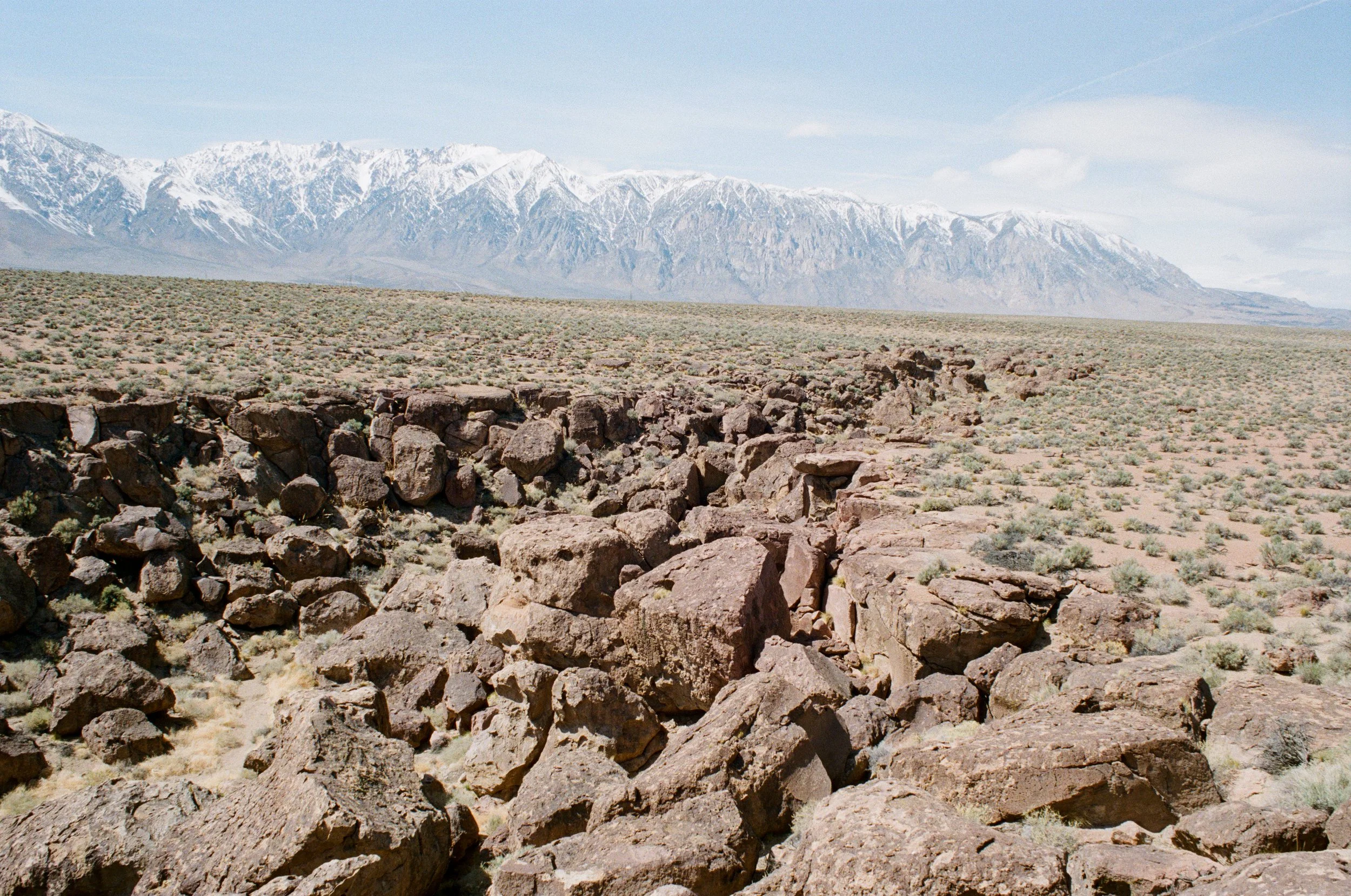
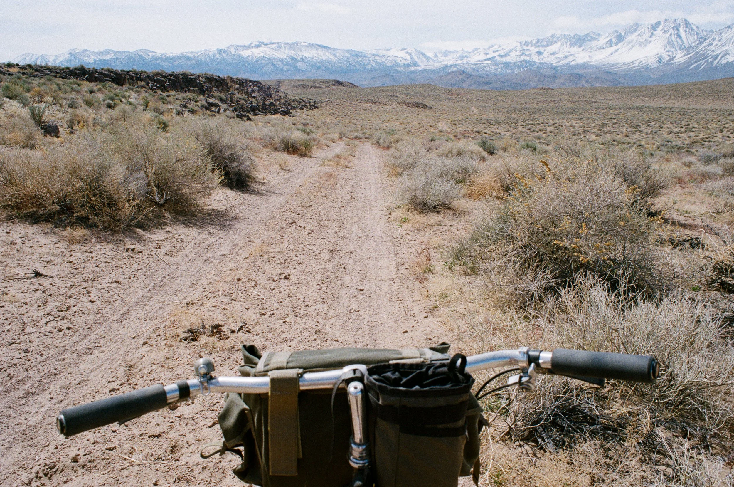
My ride followed the Forest Service roads through the hills. There is an endless network of dirt roads to explore in this zone. Most of the time, I set out with no real route other than some sort of point of interest. And on this ride I wanted to make it out to Chalk Bluff above the Owens River. To get there, I made me own route while following USFS topographic maps of the area.
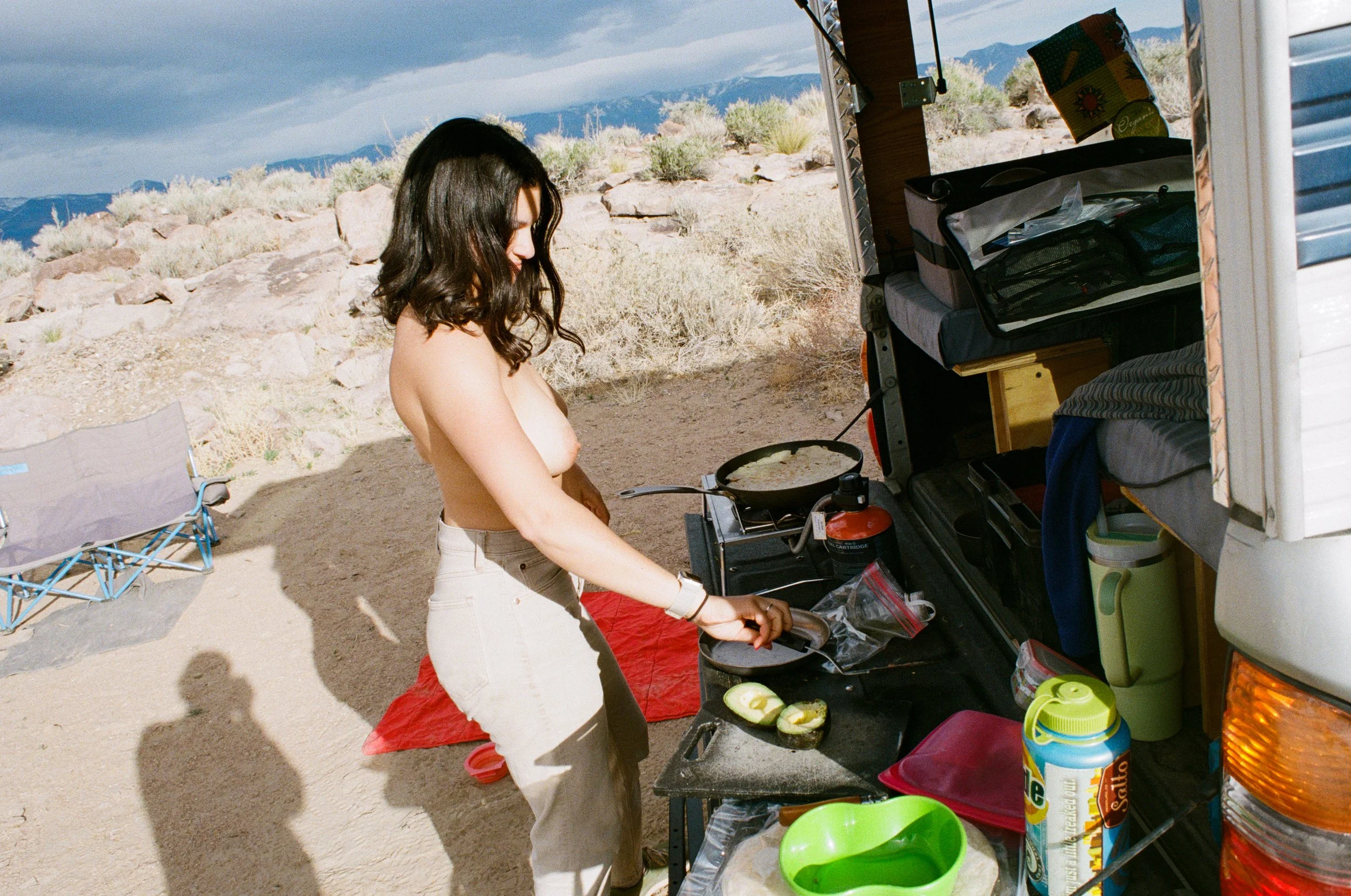
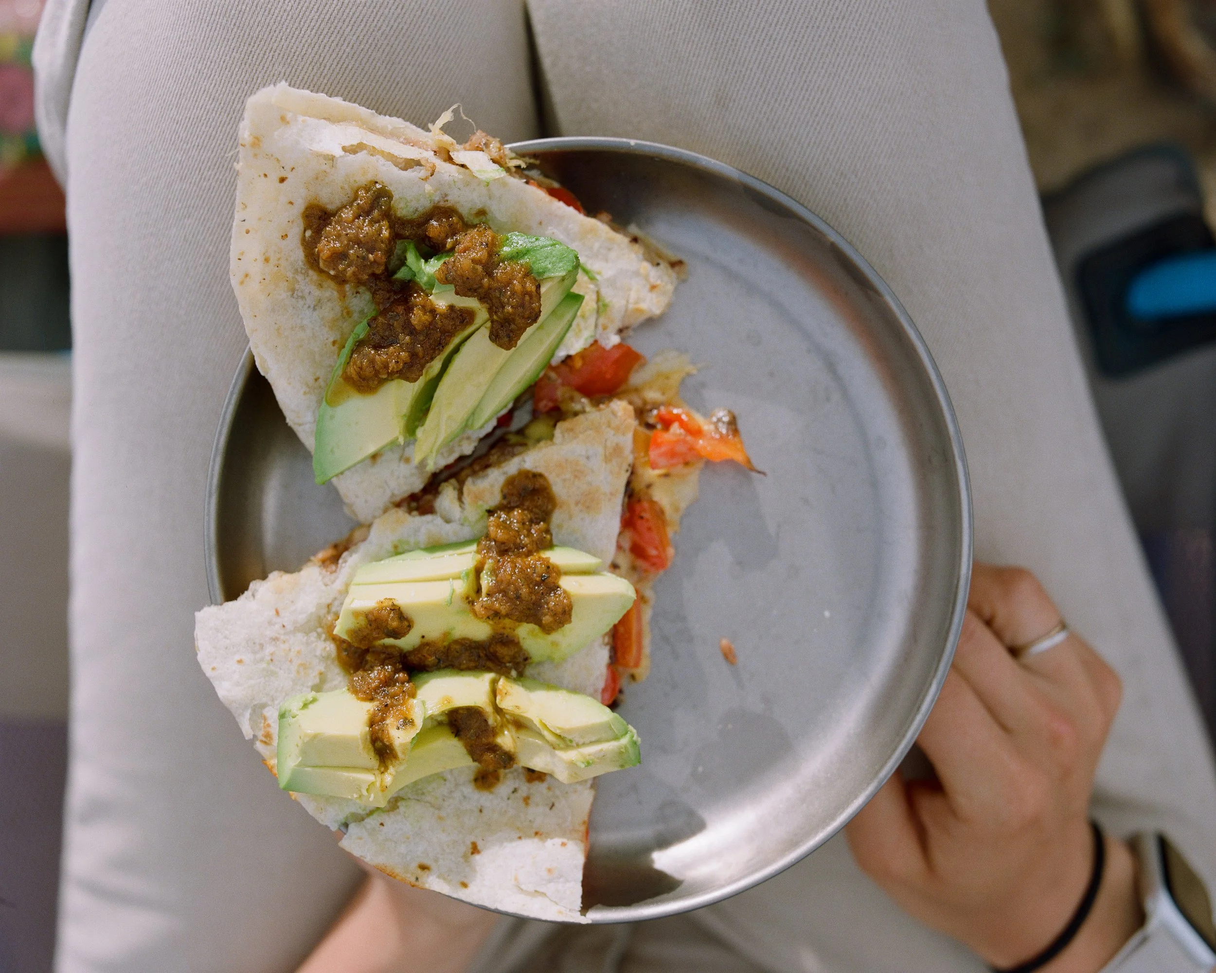
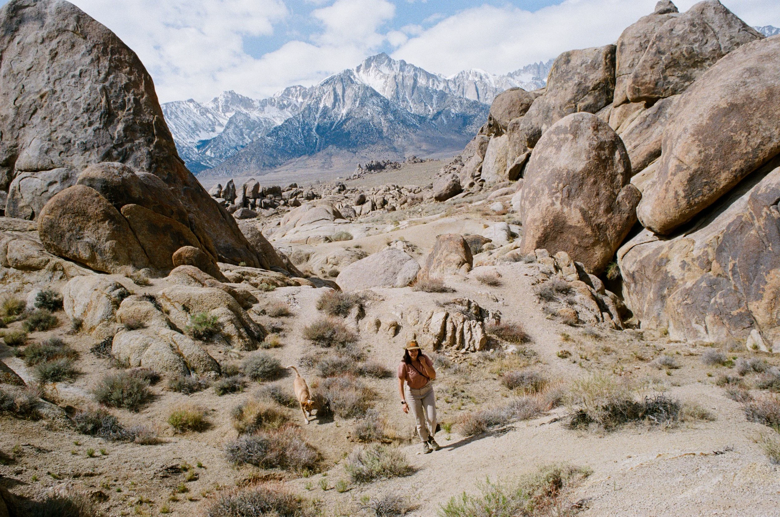
After spotting a few horned lizards, and some red tail hawks I was back at camp. We made a quick and easy quesadilla dinner back at the truck, then stayed up and watched the stars for a bit before calling it a day. The next day was mellow and we mostly moseyed around the valley, stopping where we wanted on our way back to LA. We took one pull off for lunch at one of our favorite swimming holes (at least one of the easier ones to get to), and another for a hike in the Alabama Hills outside of Lone Pine.
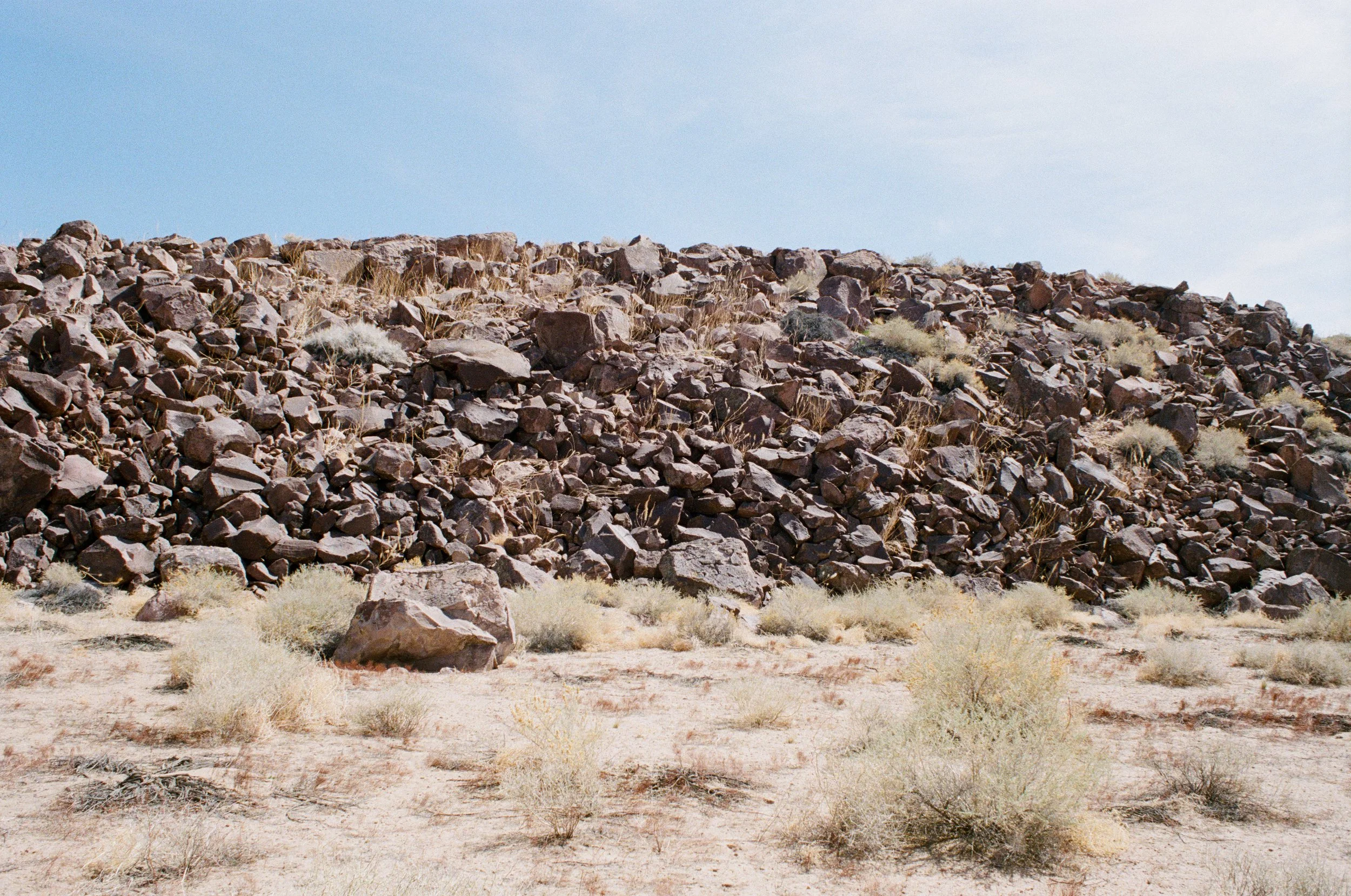
I swore off the Alabama Hills for many years as the oVeRlaNdiNg trend was beginning to reach its peak level of annoying, because the area was flooded with $100,000+ Sprinters, Jeeps, and Tacomas. But in recent years the Bureau of Land Management (BLM) has done an excellent job in 'renovating' the area.
It used to be a complete free for all for camping in the rocks. But this quickly led to a destruction of the land itself. Trash was left all over the place, toilet paper was pulled from the ground by rodents and pulled into crevasses in the rock (pack out your TP, don't bury it!). Thankfully though, the BLM put an end to most of the camping in the area and limited only a handful of designated spots that all require an easily attainable, yearly permit. While I am usually a bit critical of changes to limit dispersed camping in most cases, this greatly reduced the impact on the land and still allows for a reasonable amount of camping. Now you don't need to worry about someone pulling their van right up next to you if you are camping in one of the sites. The BLM also limited the rest of the area to 'day-use only,' making it a great spot to pull off and hike around or have lunch.
24 hours might not seem like enough time to make a trip like this "worth" the effort it takes, but let me tell you, it certainly is. Any amount of time you can spend outside is worth the effort it takes. Especially today - we are often all so caught up in routines of work and daily life, sometimes it feels like we can't ever get time to ourselves. But that is rarely the case. Call out of work, pack a bag, and spend a night outside -- even if you only have time for one.
A ride through LA’s life source
Bike camping in the Owens Valley.
Bike camping through the Owens Valley.
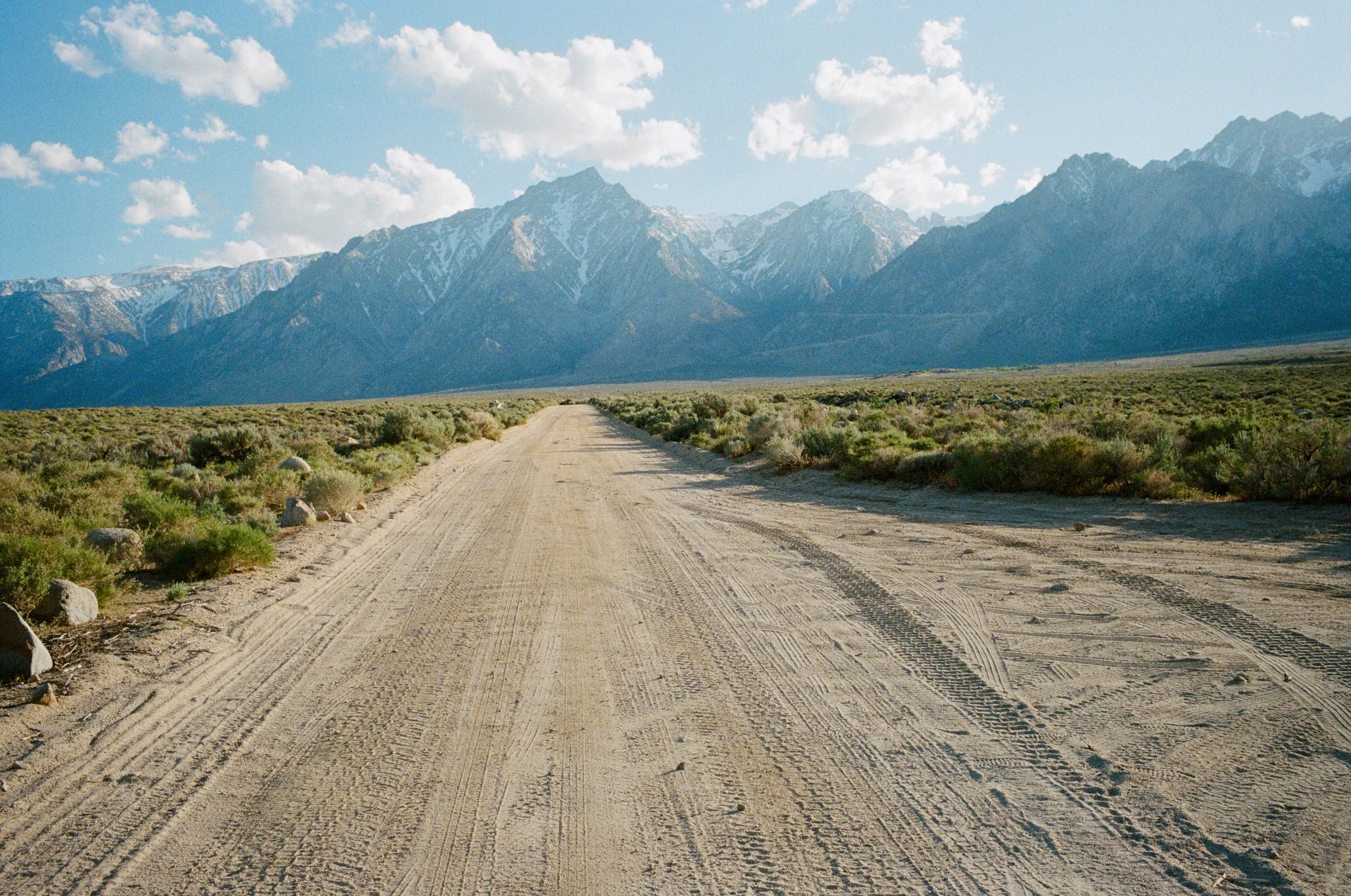
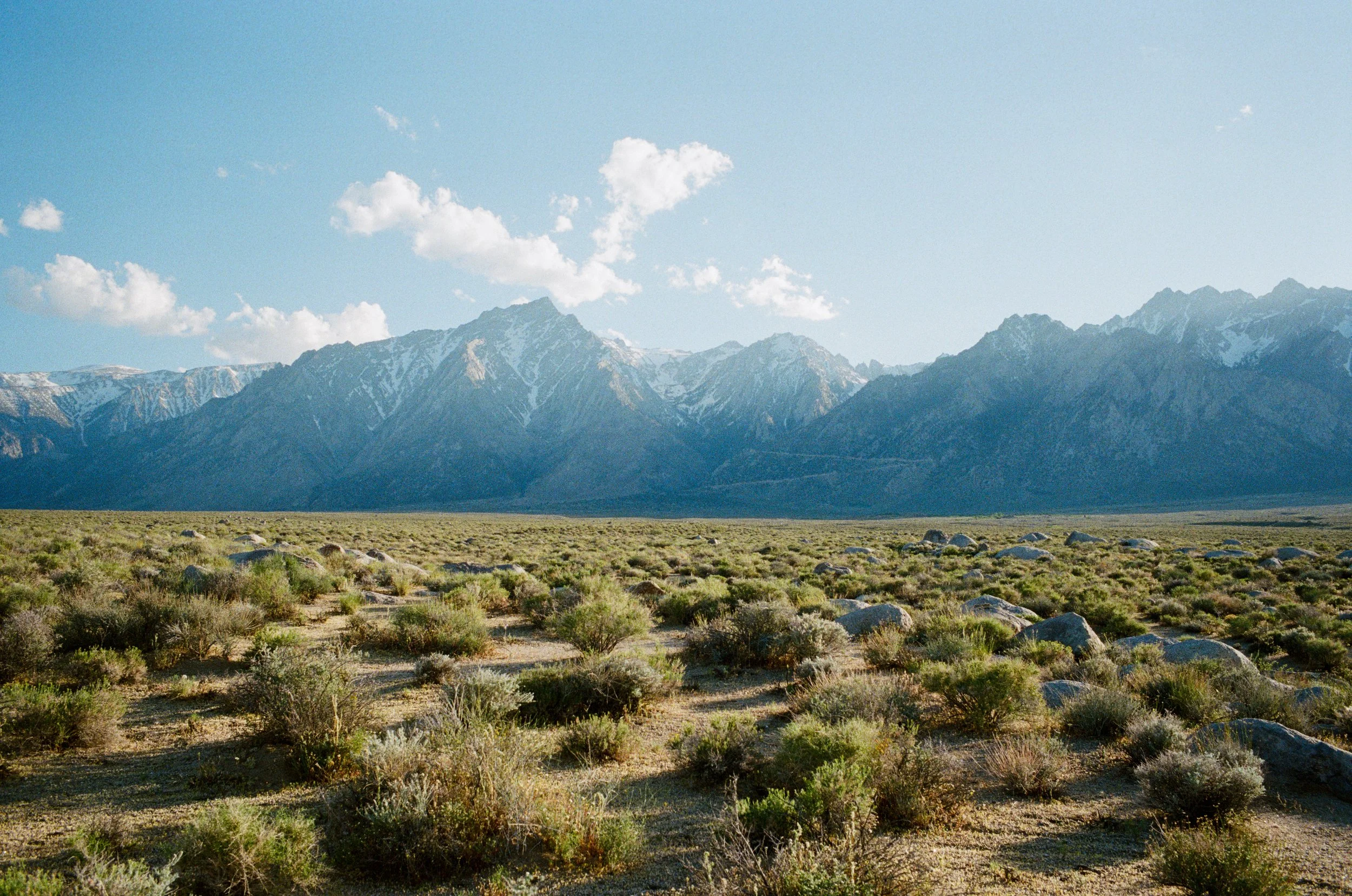
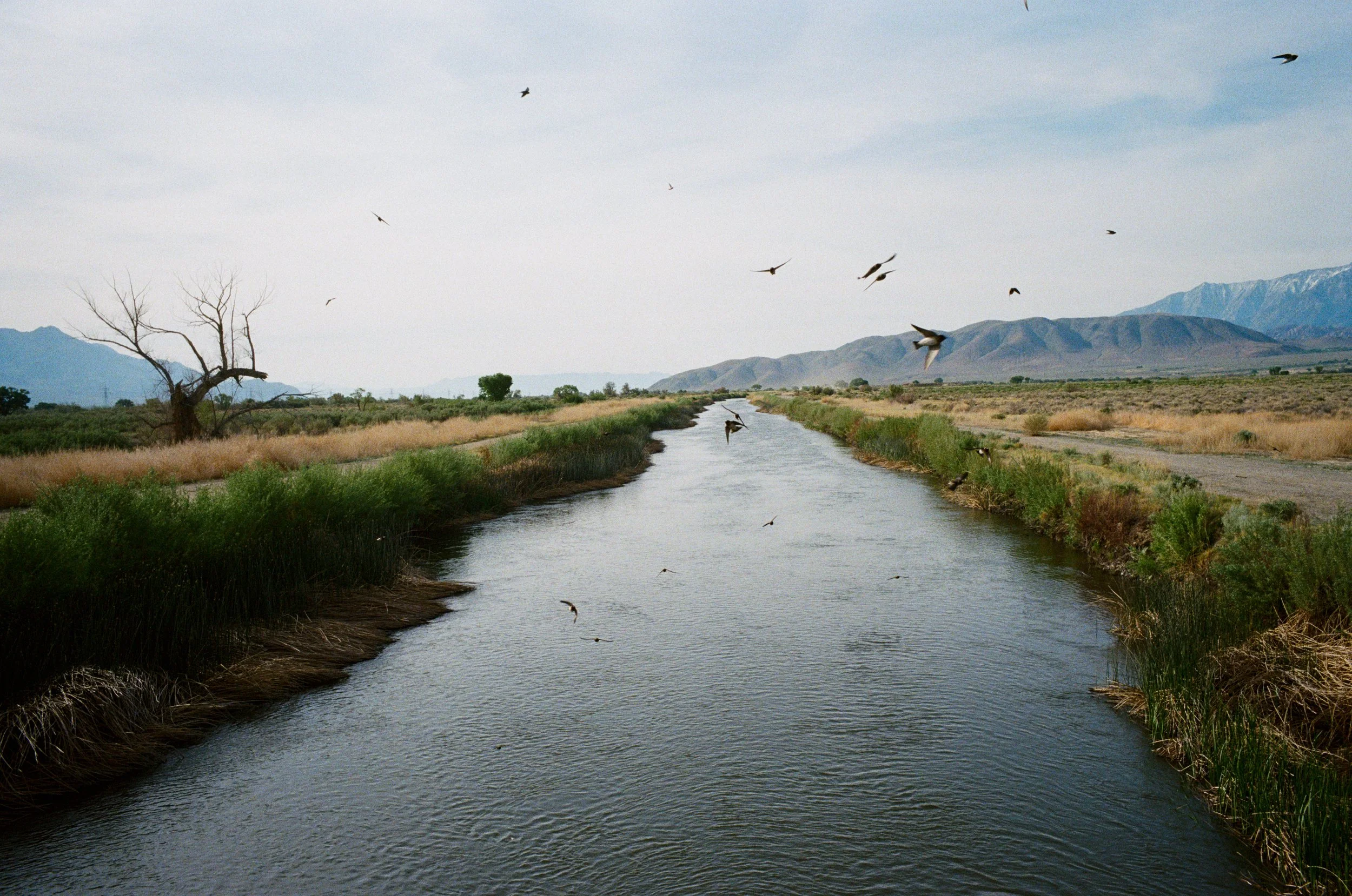
The Owens Valley - quite a special and unique place. The valley floor runs between 14,000+' peaks on either side. Mt. Whitney reaches over 14,500' to the west and is the highest mountain in the lower 48 - only 3 hours from home in Los Angeles. Adding to this uniqueness, the lowest elevation, and the location of the hottest recorded temperature on the planet is only a mere 85 miles away. So much marvel lies here in this region.
A bleak history
While there is still so much life and wilderness diversity in this region, the landscape is a heavily modified version of what it once was. Over a century ago, the valley was naturally lush, and green. With plenty of snowmelt runoff flowing down from the eastern slopes of the Sierra Nevada mountain range, life down below was everywhere, and water was in excess for those inhabiting the region.
Yet, some 200-ish miles south, the population was growing in a city looking to expand. Los Angeles was hoping to become a metropolis by the sea. An oasis with near perfect weather year round, beautiful scenery, and a landscape mostly untouched. However, one thing was missing. Water.
Humans had been living well in the Los Angeles Basin for several thousand years, and water was not and issue for this relatively small population of native Tongva people. But with this 'growth for the sake of growth' mindset us modern humans have, it wasn't long until settlers decided to take over and expand.
In the early 1900s the Los Angeles Department of Water and Power was born, and shortly after, the city began buying up as much land as they could along the desert stretch to the mountains north. Before anything could be done, an aqueduct was constructed, funneling water on gravity alone - no pumping required - to quench the thirst of the Angelinos.
While the feat was quite incredible, even by today's standards, life in the Owens Valley was forever changed. Water was taken from the people, animals, and flora of the Owens Valley for seemingly no reason other than greed. But life goes on here. And while the city continues to take from the region, growth persists and immense beauty is still abundant in the area. And this is why I return so frequently to experience to wonders of this scarred landscape.
An overnighter in the valley
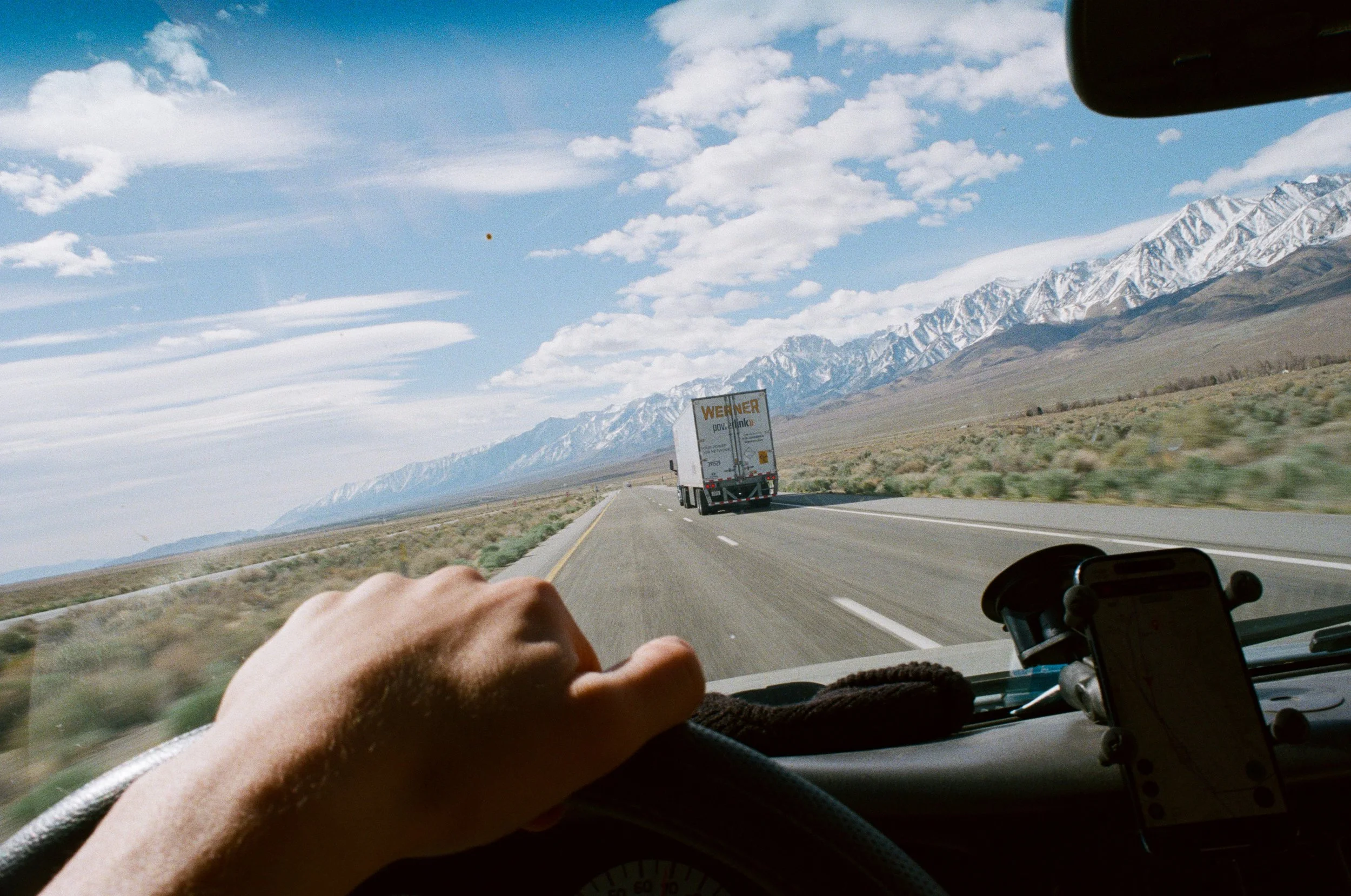
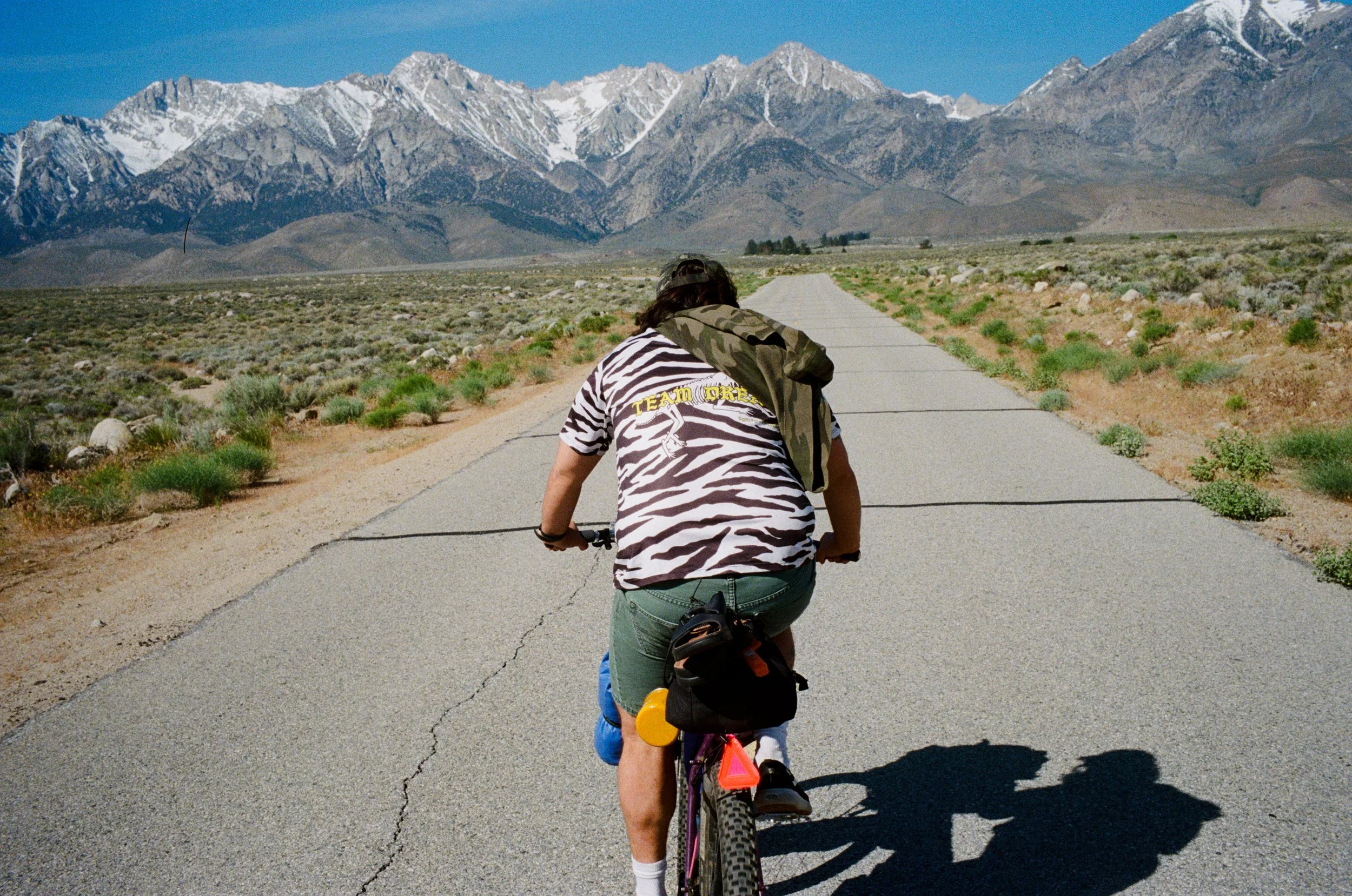
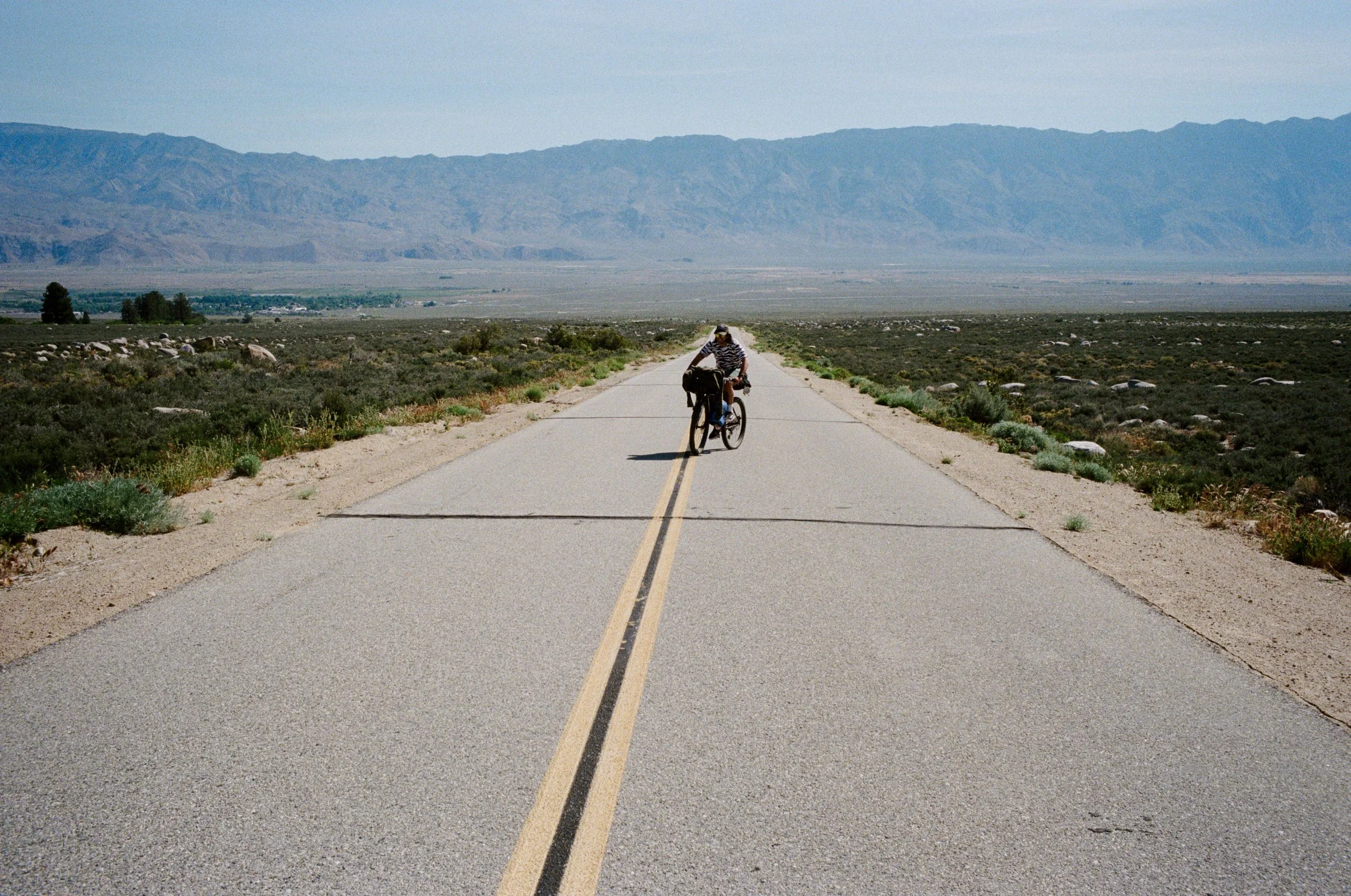
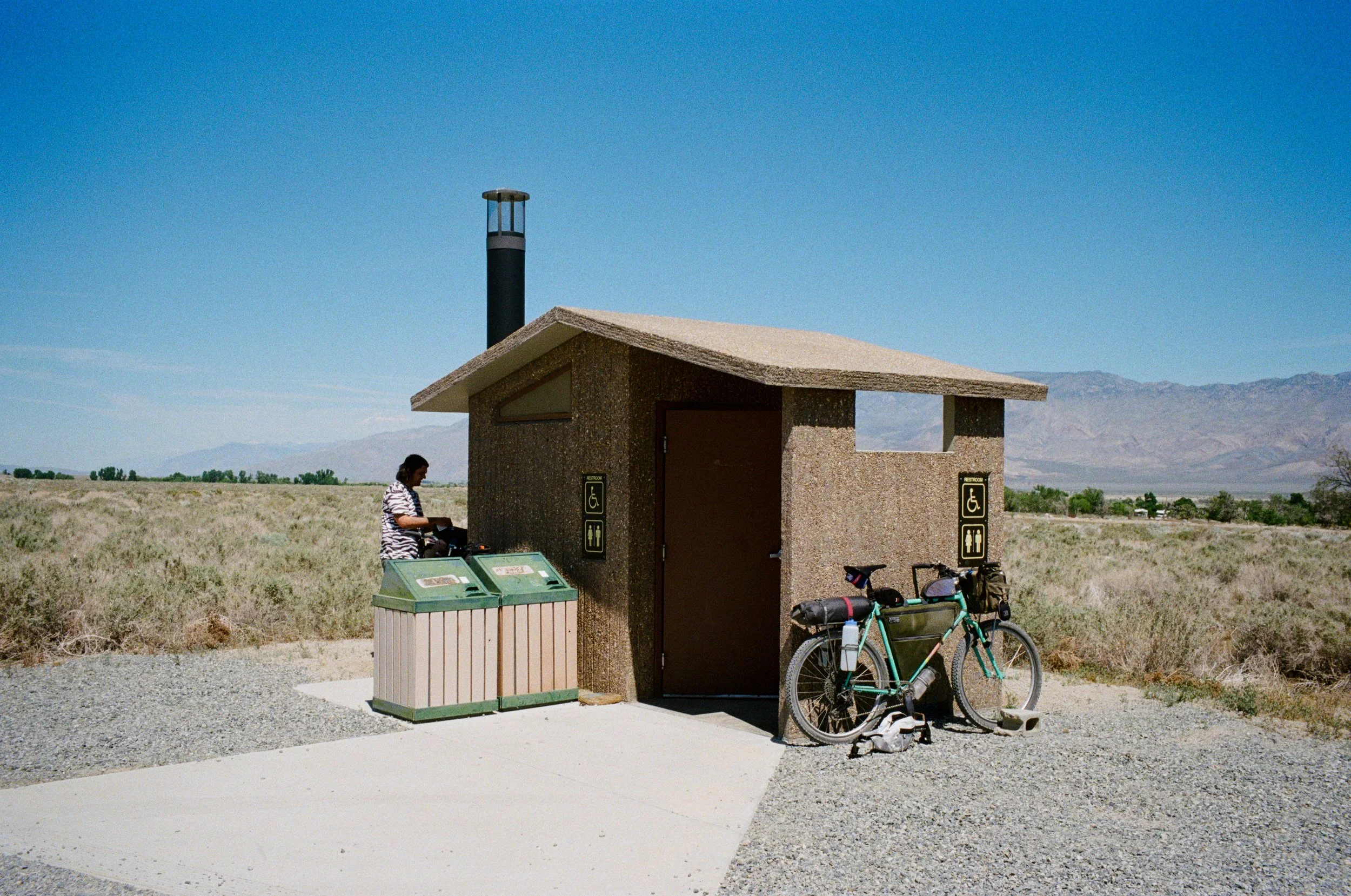
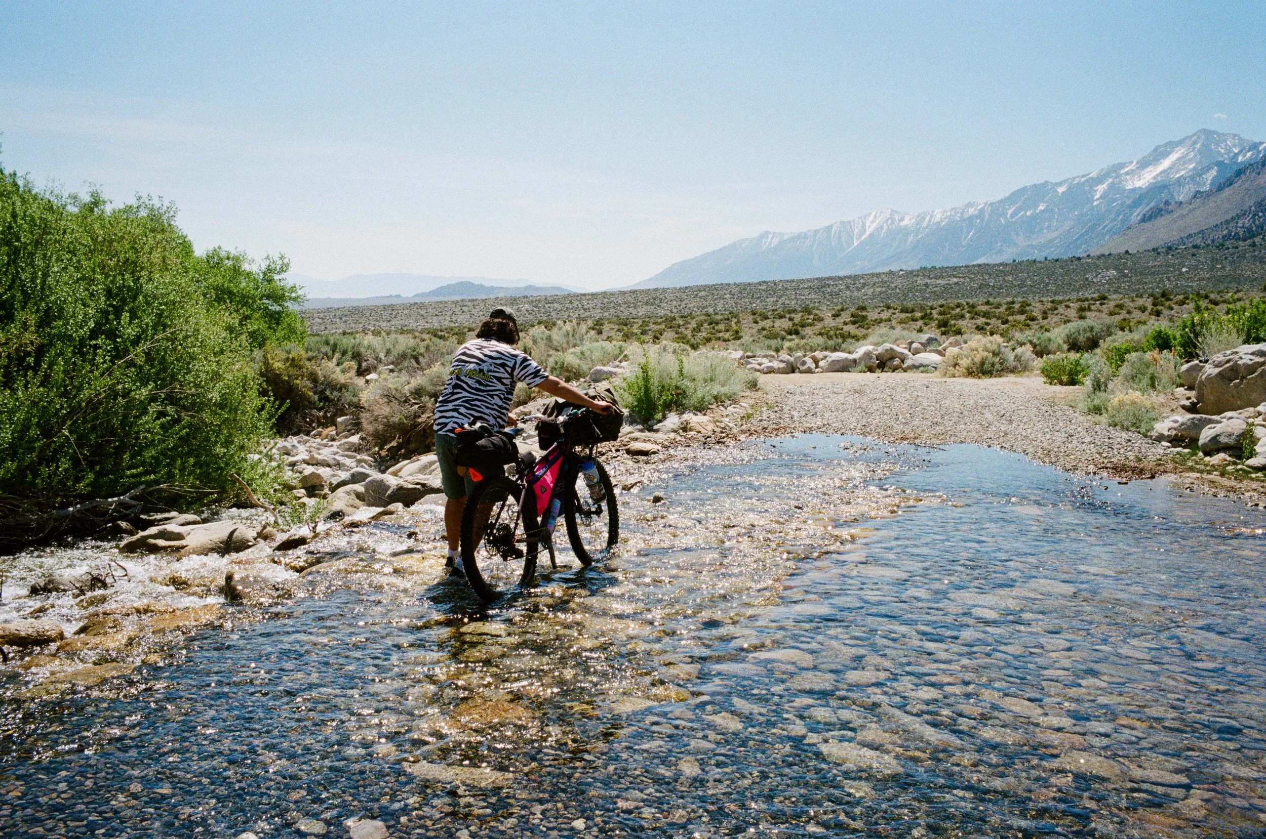
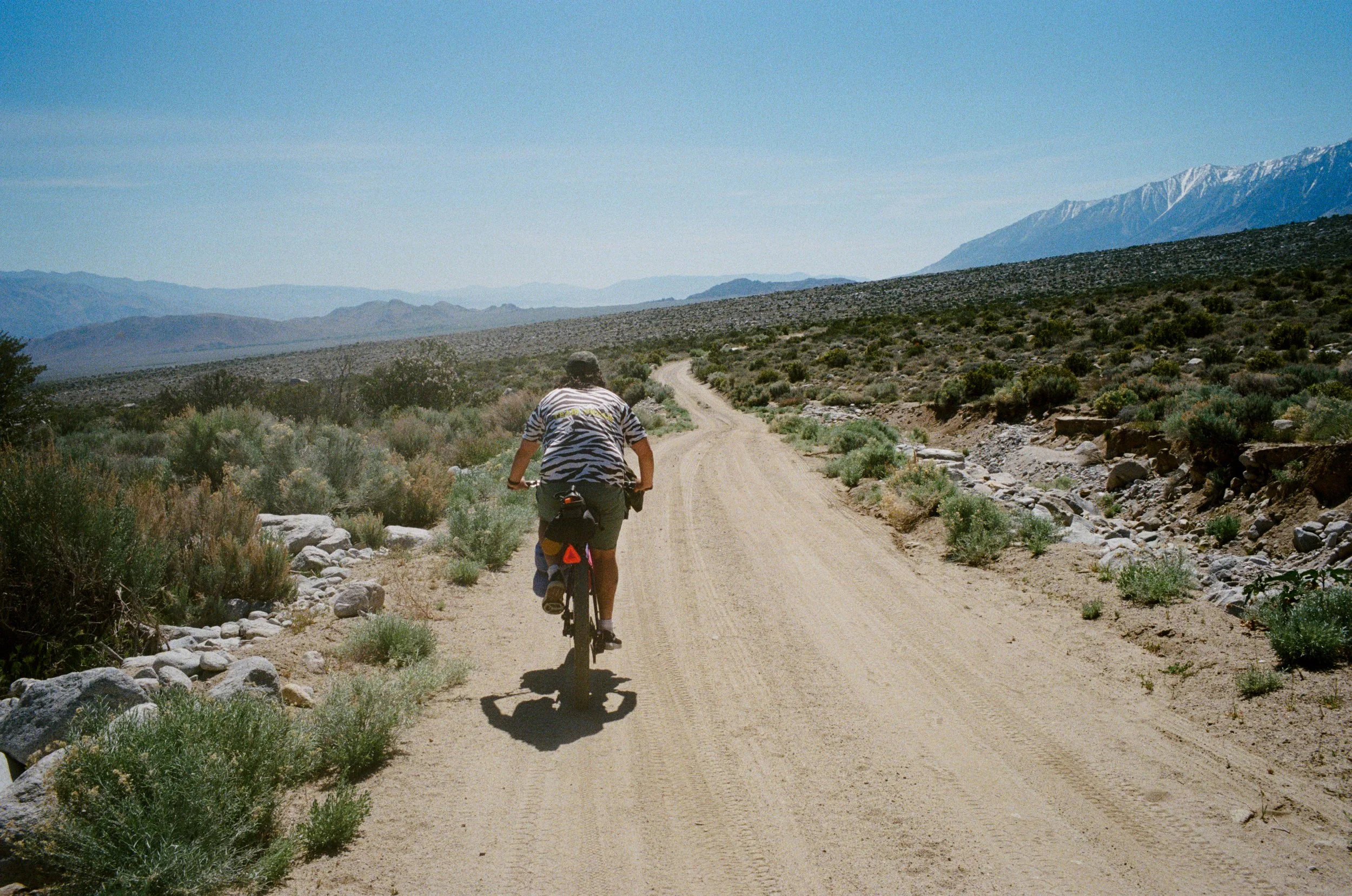
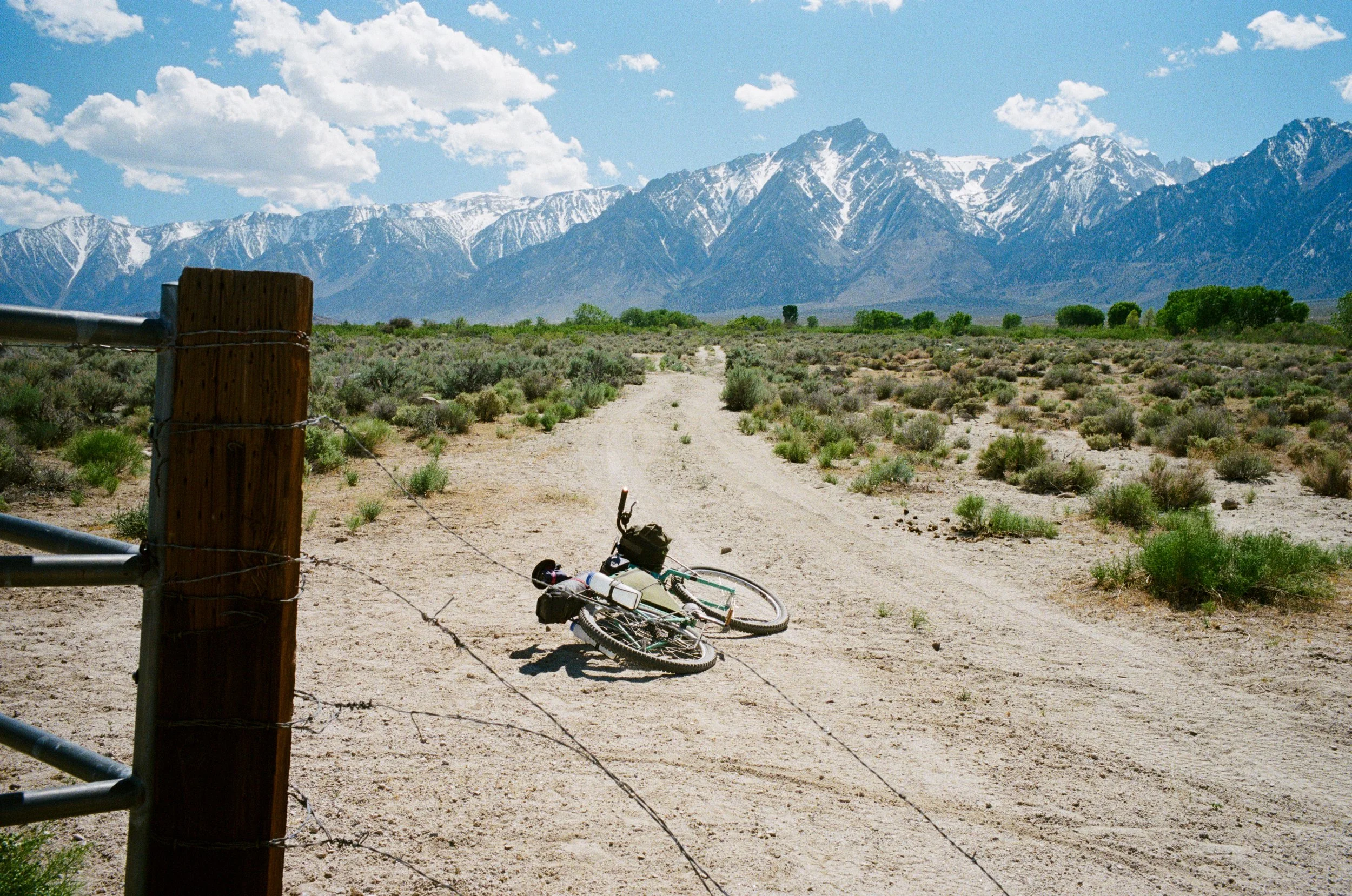
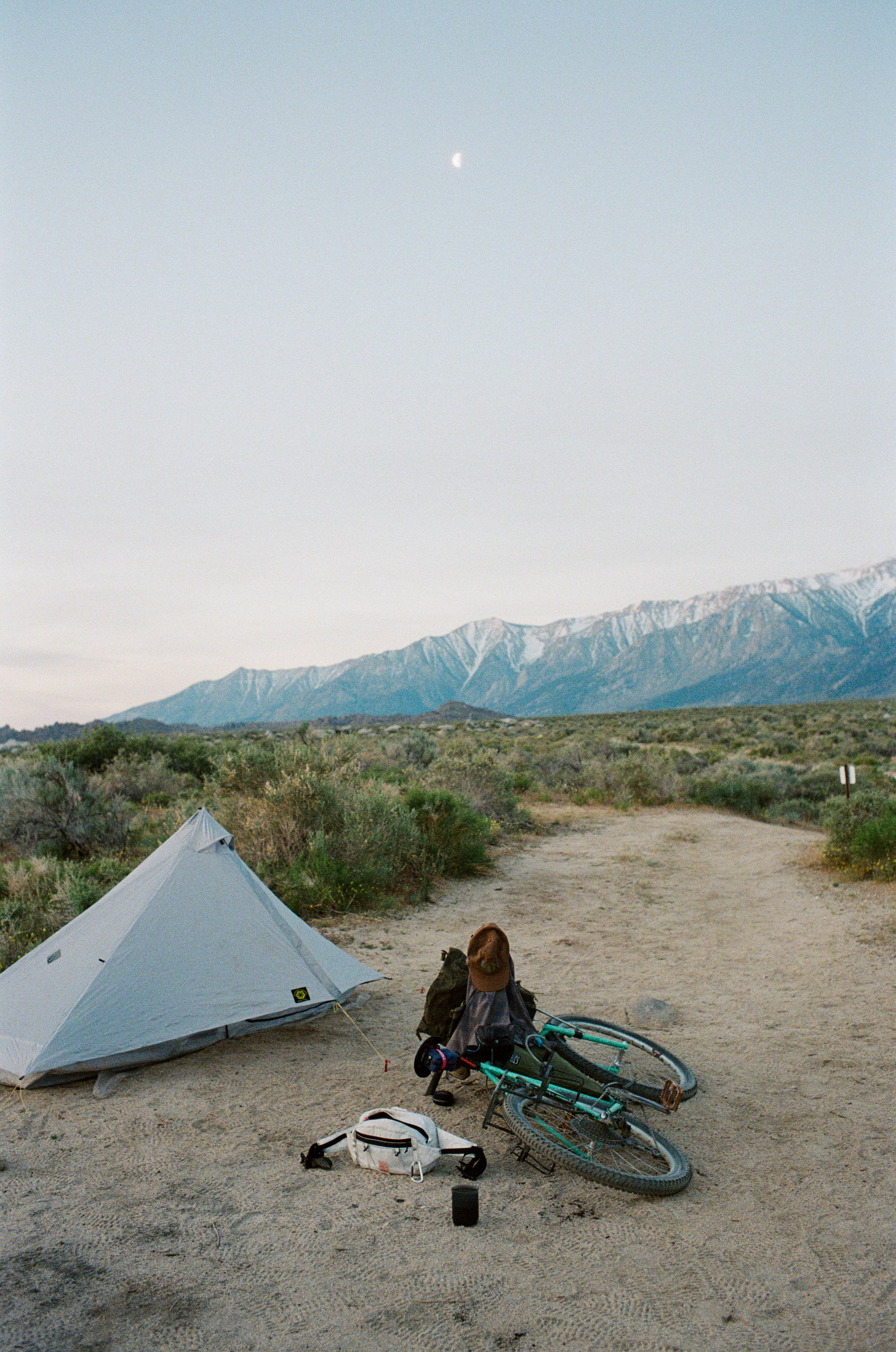
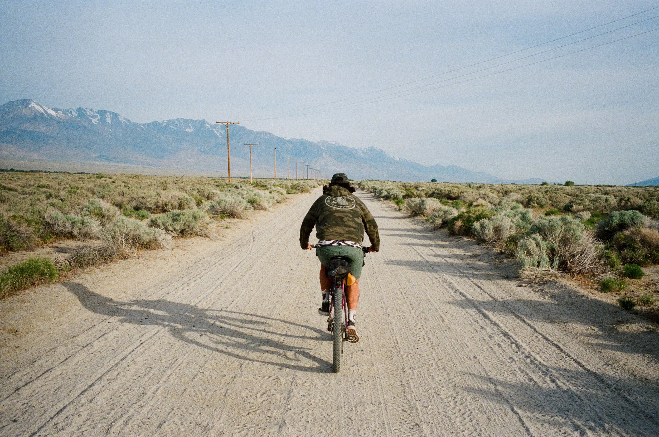
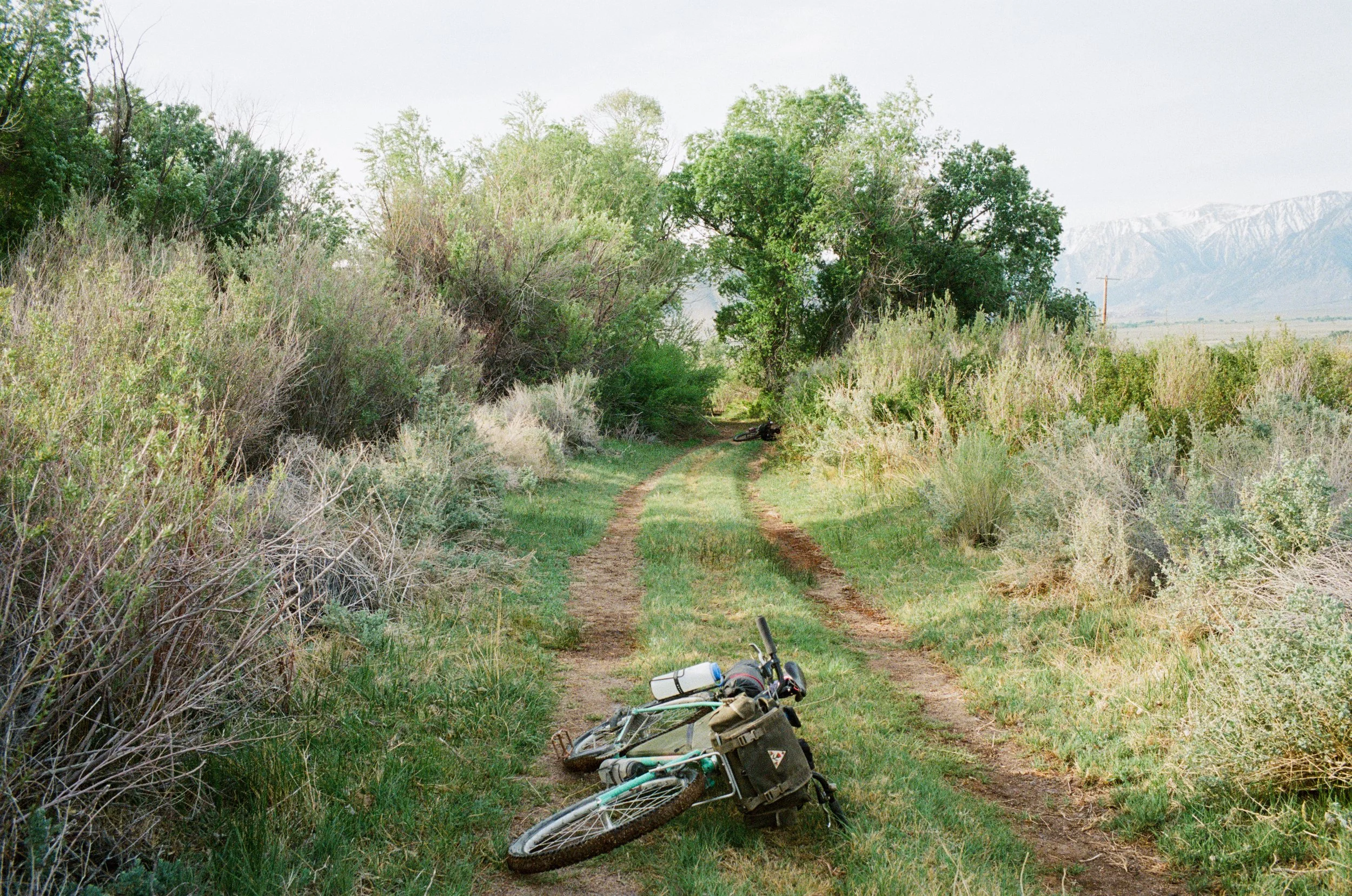
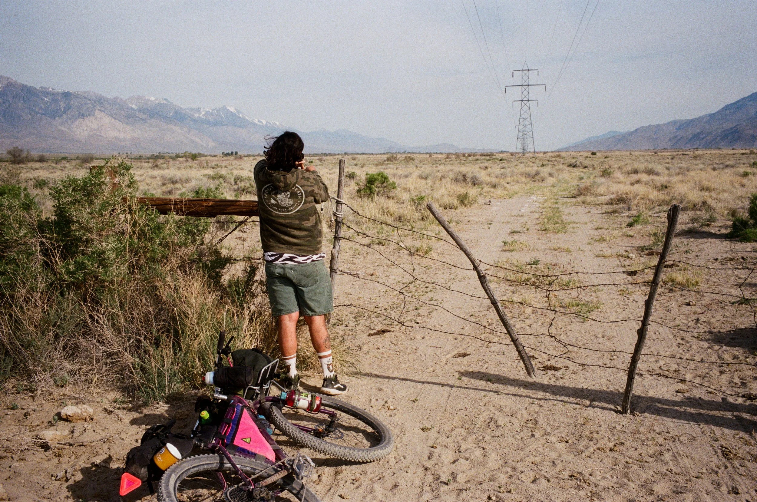
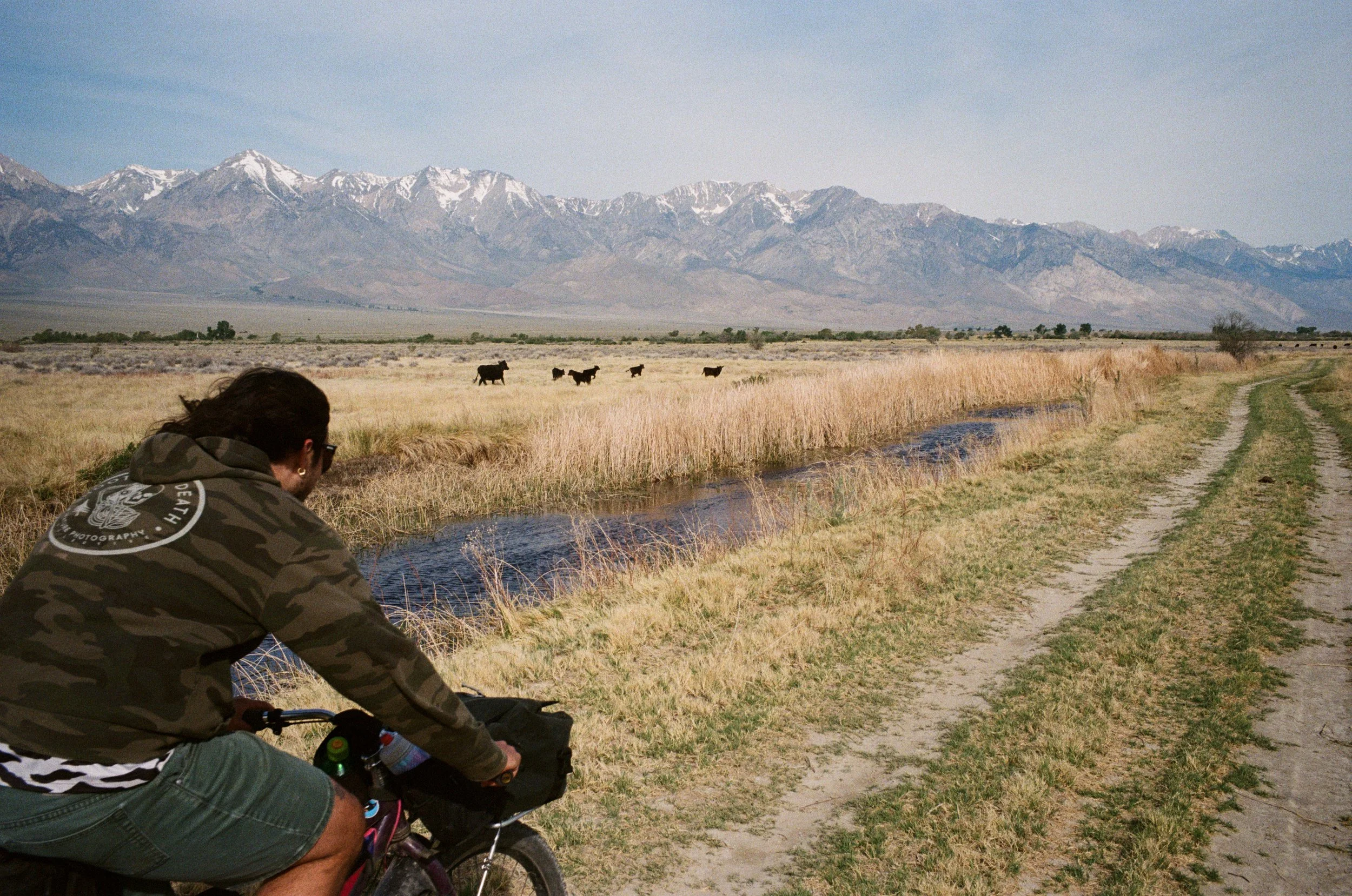
We set off from LA in my loaded camper for an overnight bike route in the Owens Valley. Anthony and I have been hiking, biking, and camping along the HWY395 corridor together for many years and we always manage to get into something new.
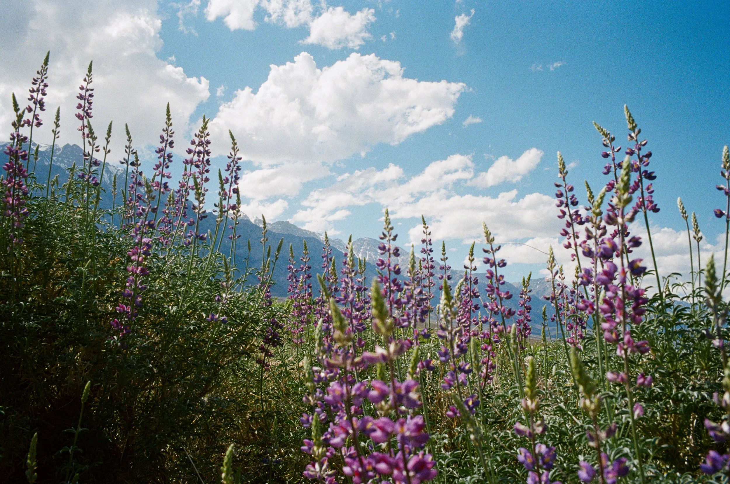
We pulled into Independence shortly after sunrise and packed up our bikes for a night out. It wasn't long until life in the valley was evident. Bees flutter from blossom to blossom as they work to pollinate spring's newest flowers. Yellow, purple, white, red - dancing in the breeze. Spring time here means the snow is beginning to thaw, and even this year with relatively little snow on the Sierra above, runoff is enough to allow a colorful array of vegetation to dot the ground beneath.
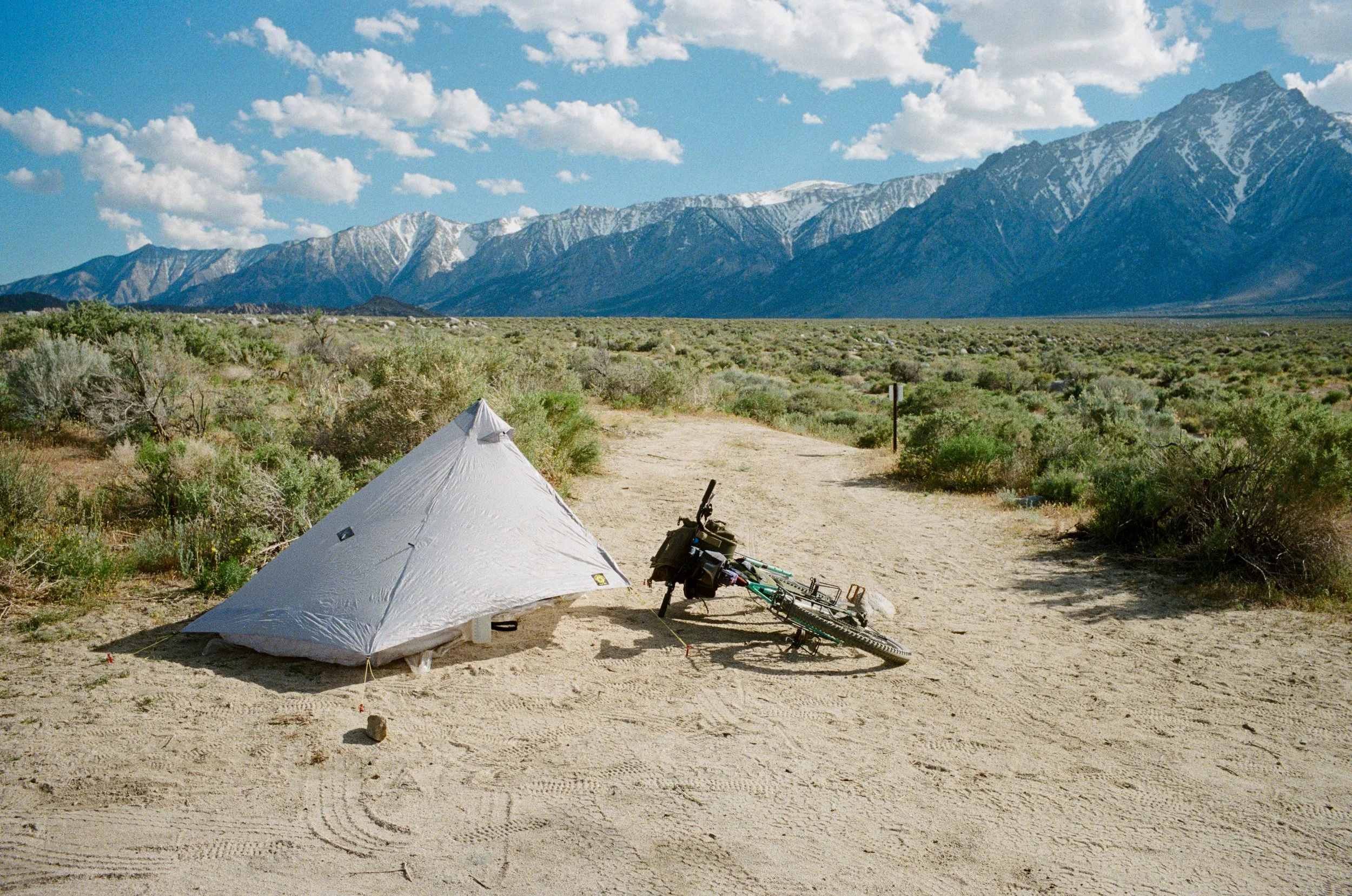
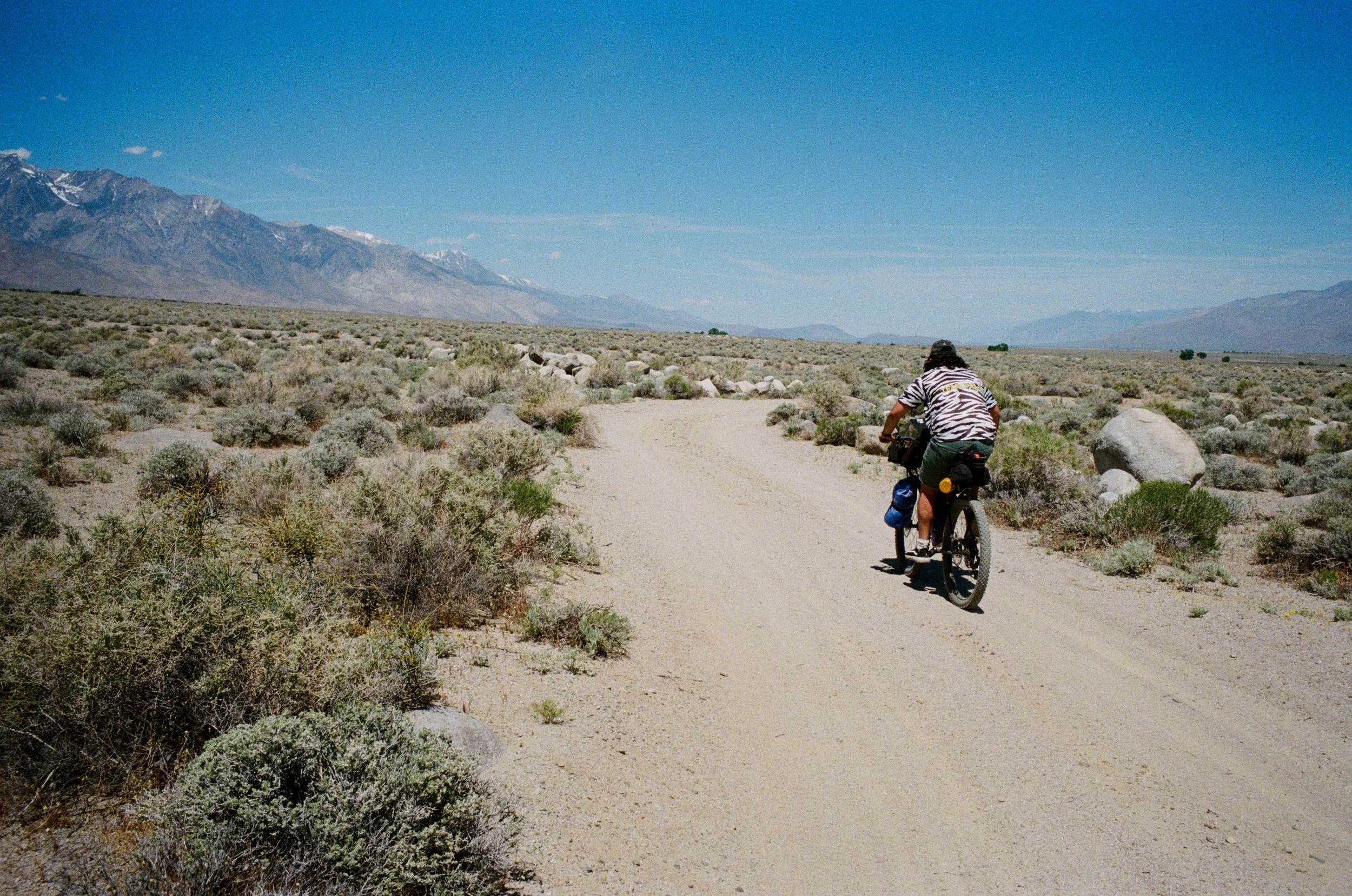
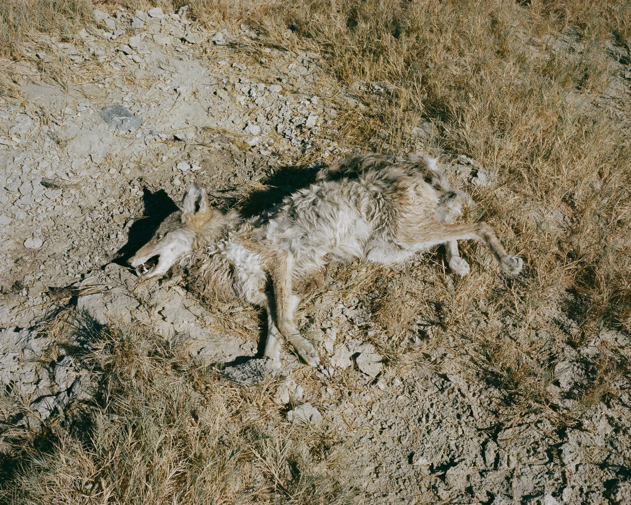
The lizards - spotted yellow and black, Leopard Lizards, scramble throughout the region. As I ride down the loose dirt road, my tires kick up dust and the sounds of the roller rubber on the granite rocks startle these reptiles during their midday tan. Baking in the rays from the sun, these cold blooded creatures move much quicker than I on my encumbered bicycle - loaded with food rations and supplies for this night out cooking under the stars, and sleeping in my synthetic down quilt. They bolt to the covering of a nearby rock when they hear (or feel?) me coming down the trail.
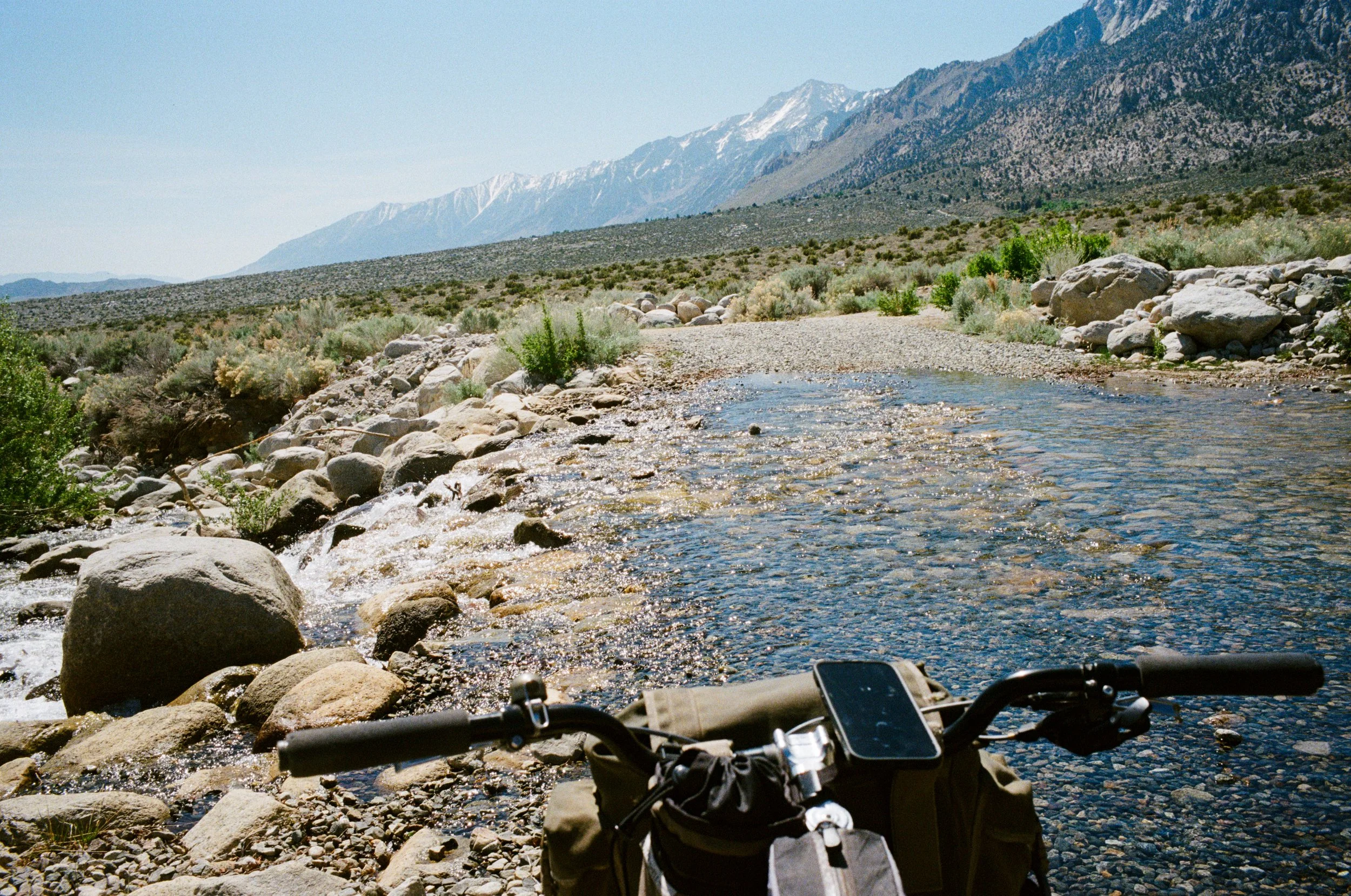
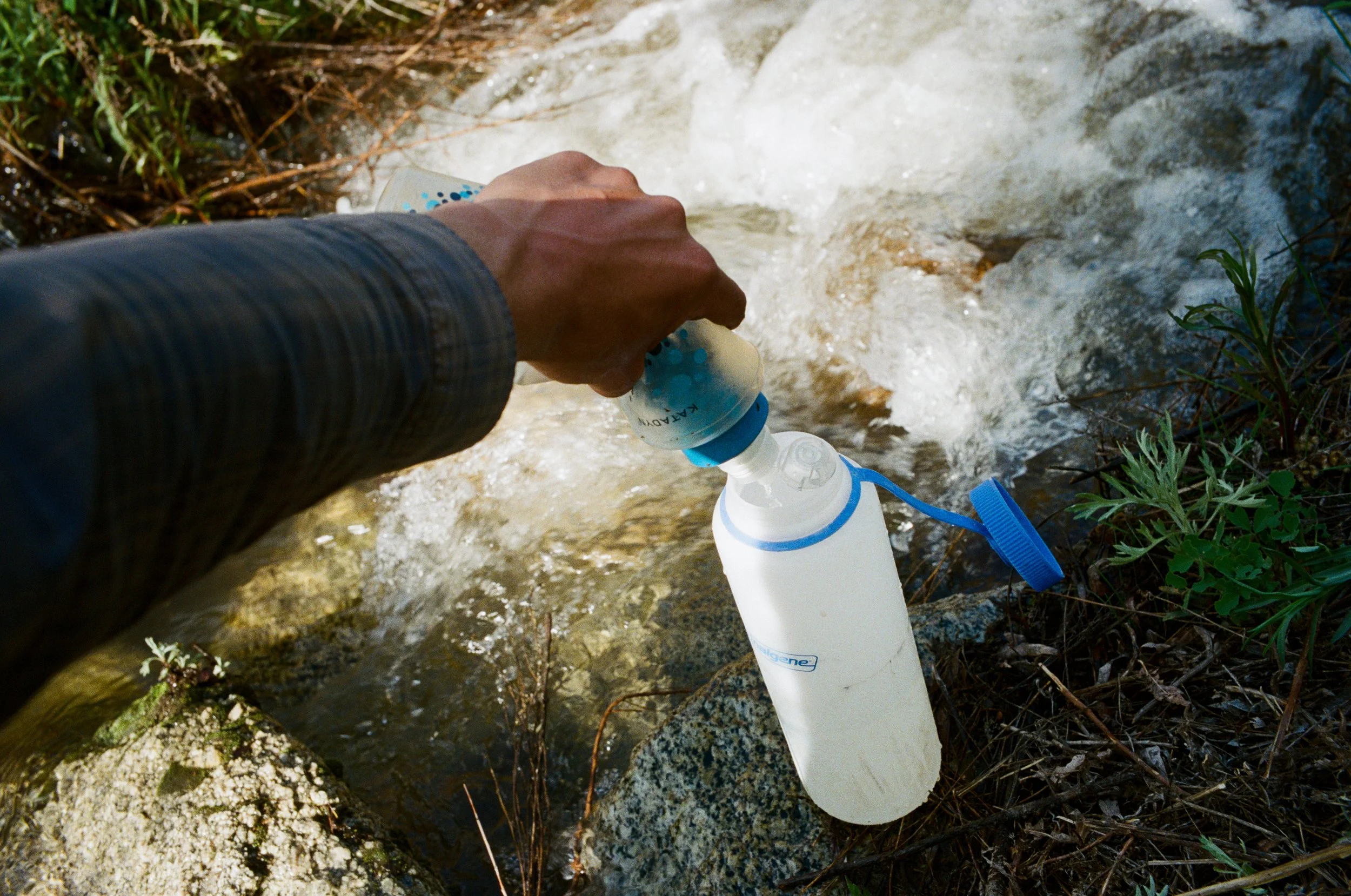
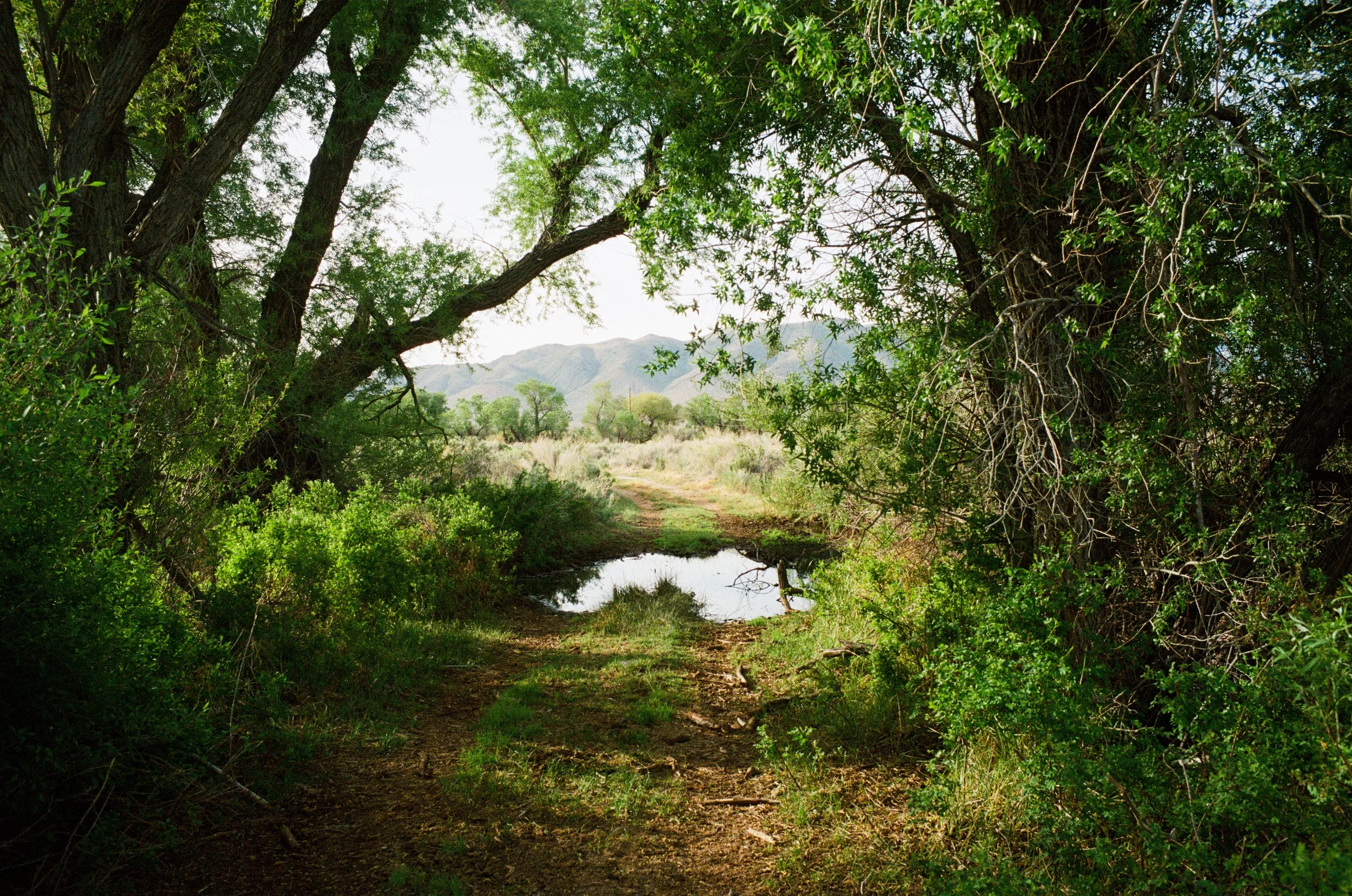
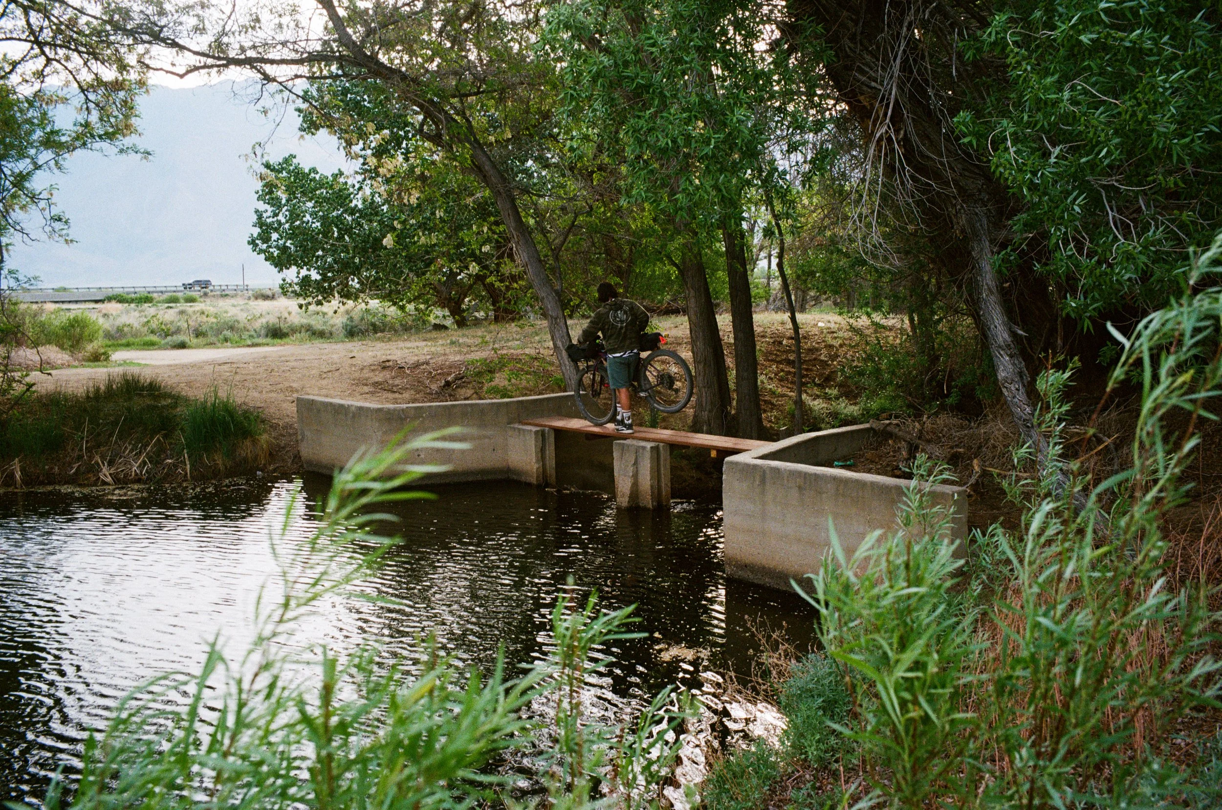
Climbing through the hills, we cross streams channeled down from the high Sierra above. Not too much snow on them that is visible from the valley floor on the east side, considering it's only April. But these creeks will flow year round as the snowpack melts off until winter precipitation restarts the cycle. Because of this, it is quite easy to source filterable water here along the west side of the valley. We carry enough capacity for us to safely travel and camp even in the event that we don't set up near one of these streams, but thankfully we do not need to carry enough for us to navigate the entire loop with one load.
The bikes
Bikes allow for a special way to traverse through the landscape. Certainly not as slow paced as walking, but you get all of the same emotions and connections to the land itself. There is no windshield in front of you to block the scents of the sage besides you. No hum, or growl, of an engine to allow you to miss the wail of an overhead Condor. And when things get a bit hairy, you fall to the ground and bloody your hands and knees.
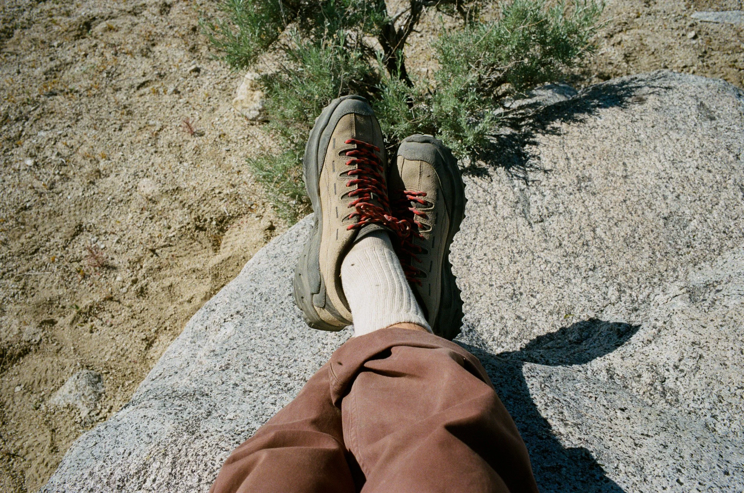
Scrapes are something more of us need in our time here on Earth. Getting out of the car allows us to feel much more than we ever could from behind the wheel. We need that leg full of cholla, or the skin peeled hand after a fall while descending through some rocks. Otherwise, things get too mundane and routine. The sense of protection we feel as adults at home is only an illusion, and once we step outside of our comfort zones, like we did when we were children are we reminded of that.
We both opted for rigid mountain bikes on this ride. This is my preferred style of bike as it allows for exploration into any terrain. Take a bike that you can fit the biggest tires you can into. I'm running 2.2 Ultradynamico Mars tires, and there were a few sandy points where I was wishing I had something a bit beefier.
Navigation
Mapping the region is also quite straight forward. Bring along a paper map, or save some topos for offline use on your phone. General topographic maps are the best way to navigate through the wilderness. Terrain is easily identifiable, and rerouting is actually possible - which can prove to be difficult when locked to a predetermined course on most bike computers.
Routing should always be part of the fun, part of the adventure. It's easier than ever today to log onto your computer, find a route someone has already done and reported on, send it to your Garmin, and repeat their trip. But some things are better left for self discovery. When you're out there riding amongst the hills, you might want to go around that corner and see where the river flows from. You might not want to take the same turns the map wants you to take, and for having these desires to vere off course, I applaud you.
Settle on a rough idea of where you want to head, and then do the rest of the real route planning in the field. Turn off on that road further up ahead if you want to camp along the creek. My fear with all of this is that people will continue to only look for the best trails to hike on AllTrails, or to only ride the perfect route they found on Strava, without ever actually trying to find their own way. Just because the person who put it on the internet said it was great doesn't mean there isn't something equally, or exceedingly, great still to be found.
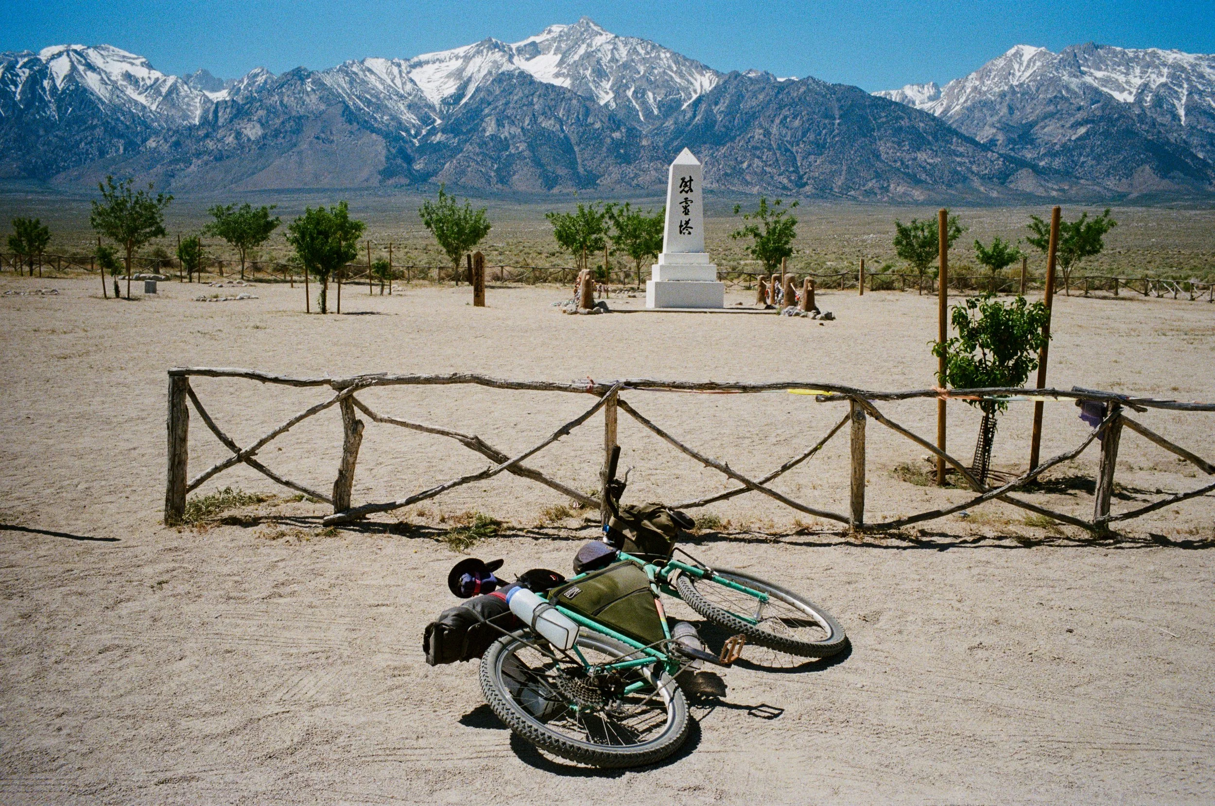
Manzanar
Our route crossed through another reminder of one of this country's more grim moments. During World War II, shortly after the bombing of Pearl Harbor, 110,00 Japanese-Americans we sentenced to relocate to internment camps like this one still preserved here in the Owens Valley - Manzanar. Many of these people were American-born citizens who were forced to leave their home for this 'prison' until the war ended.
Yet, today we are living through a similar time as our government is working to tear safe, happy, working families apart to ship them back to places where they may or may not even know a single person. A militarized police force in the streets of America is something we never believed could happen - something that would only happen elsewhere - but it is happening, and so, so much more is happening.
--
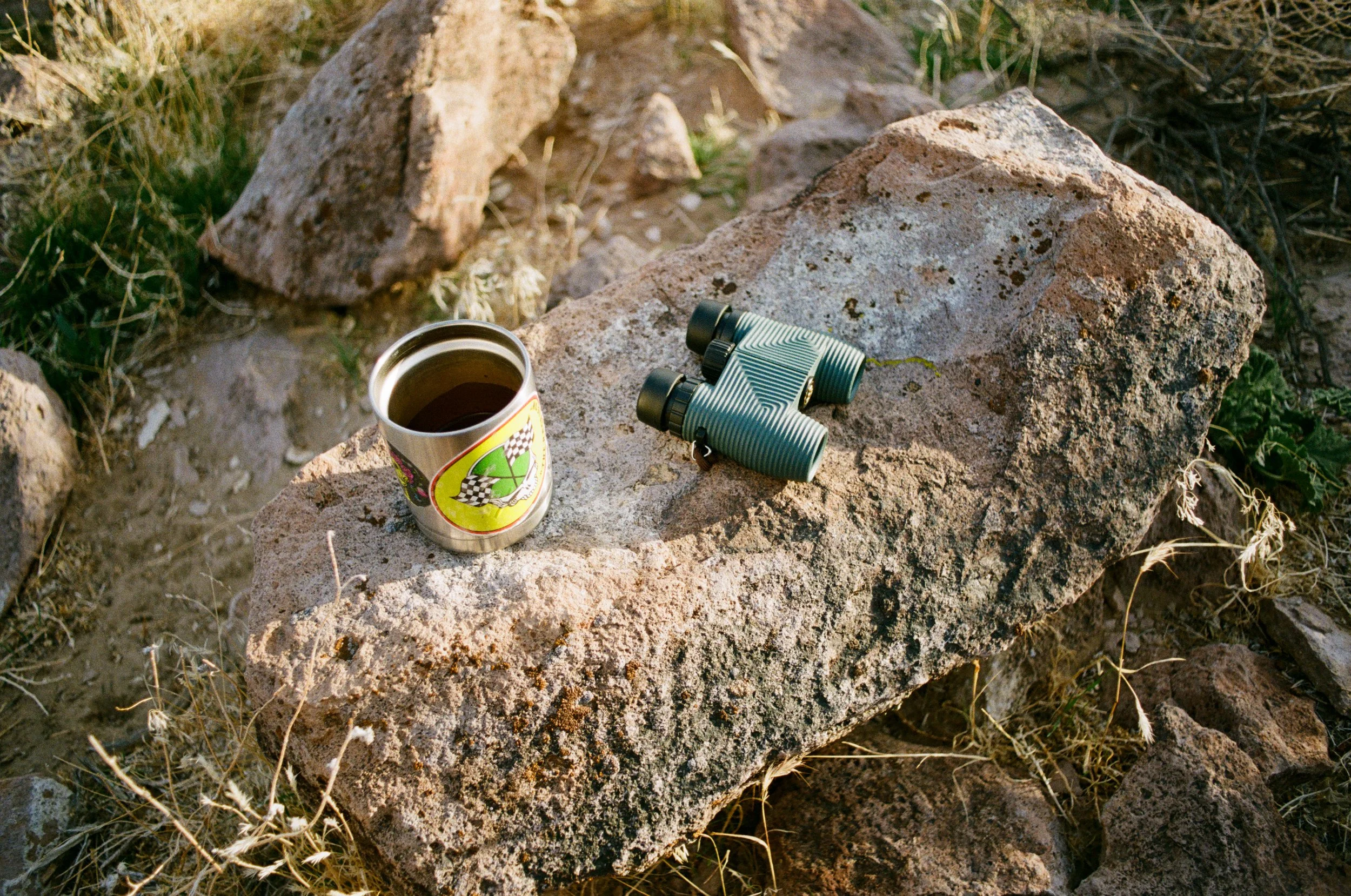
After we were sung to sleep by the sounds of Hogback Creek, we woke before the sun crested over the Inyo mountains to the east. As the warmth began to fill the valley, so did the water in my pot.
I filtered a bottle of creek water, topped off my cook-pot and lit the stove. I've carried this Bic lighter on just about every camping trip I've been on for the last 10 years. Somehow it just keeps lighting. I filled my Aeropress with coffee grounds and pressed the water through its filter.
Fed and caffeinated, we loaded up the bikes and made way back to the camper in Independence. As we rolled out of the Alabama Hills, we crossed over the LA Aqueduct. Over 400 million gallons of water flow from here down to Los Angeles every day - on average. And here I am, riding my bike besides it on my vacation away from work and life in the city.
It's a strange feeling, and one that is not lost on me. I was born and raised in Los Angeles, and so were my parents and even one of their parents. And their parents too. I drive from the city to recreate and take advantage of these outdoor spaces for which I, and millions of others, live off. When I turn on the faucet in the darkroom to wash the silver from my prints, I am able to do so because of the water from this magnificent place like no other.
We all experience realities like this first hand today. And it reminds me of this ethos - Enjoy Being. We can learn from the things that have already taken place. We can see how things have impacted others and we can hope to do better in the future. We need less of this, “there it is, take it,” mentality and more thinking centered around the idea of simply living amongst each other. All of us are here now, and it is clear the way we have been headed over the last couple of centuries is not going to last much longer. And right now it seems like the curve is ramping up steeper than ever in our efforts to end this thing we call life. But, there can be a way out, and we can make that change - one drop at a time.
Load up you bike, or backpack and come out to see and experience these wonderful places that bring us life. Call off of work, tell your friends you’re out for the weekend. Just get out into these places, while they're still here.
--trevor
Freedom
long may it burn.
long may it burn.
“One breath of juniper smoke, like the perfume of sagebrush after rain, evoked in magical catalysis, like certain music, the space and light and clarity and piercing strangeness of the American West. Long may it burn.” — Ed Abbey
We are losing our public land, and that smoke from the burn is going out.
Public Lands are the last thing we have. The only thing that we all have, together. America’s best idea.
We have been losing access to public lands since the day they were established, but with recent terminations of federal workers, and a ‘drill, baby, drill’ presidency, things are moving much faster than ever before. Their “plan” to cut back on US bureaucracy should have never included the NPS or the USFS. This is a plan to remove the lands we know as ours before we have a chance to do anything about it.
It will only be a matter of time that the roads and trails you once traveled through freely are gated up. Closed for mining operations, or for a new private luxury resort. That is — if they haven’t already been.
When will people realize that these public lands are all we have. Public lands are the true definition of Freedom. The most American thing there is. But the ‘Patriots’ saving us are taking them away because they know they can. They know they can shake more money out of them as they flip them upside down to rattle the loose change out of them like a school bully in a cartoon.
Freedom
Be it on foot, by bicycle or even car, the public spaces we roam through embrace a sense of Freedom that is impossible to find elsewhere. And America is blessed to hold so much of this space for its people, especially here in the West.
There is no feeling that could rival that of spending time outside in nature. Packing a camp out into the woods with a friend, or lover, to watch as the stars fill the sky and you can forget about the rest of the things going on in the ‘real world’ is true Freedom. Setting out to climb a mountain, all the way to its peak, just for the sake of doing it is Freedom.
The isolation and helplessness one finds themself in while standing at the base of something like the Palisades Glacier in the Sierra Nevada, or while deep in a narrow canyon of a Utah desert proves to be an experience that is not matched elsewhere.
--
Hell, even the pain is a Freedom unlike anything else. Be it the thrill of spotting a mountain lion track on the trail you are following, or a leg full of cactus as you brushed against a cholla, or a burn on your finger from cooking a hot meal over an open campfire flame — humans need to experience this, and we’ve been so fortunate in this country to have this Freedom for so long.
But Freedom ain’t free, so as one public lands lover to the next, we must get together and fight to keep what is our free